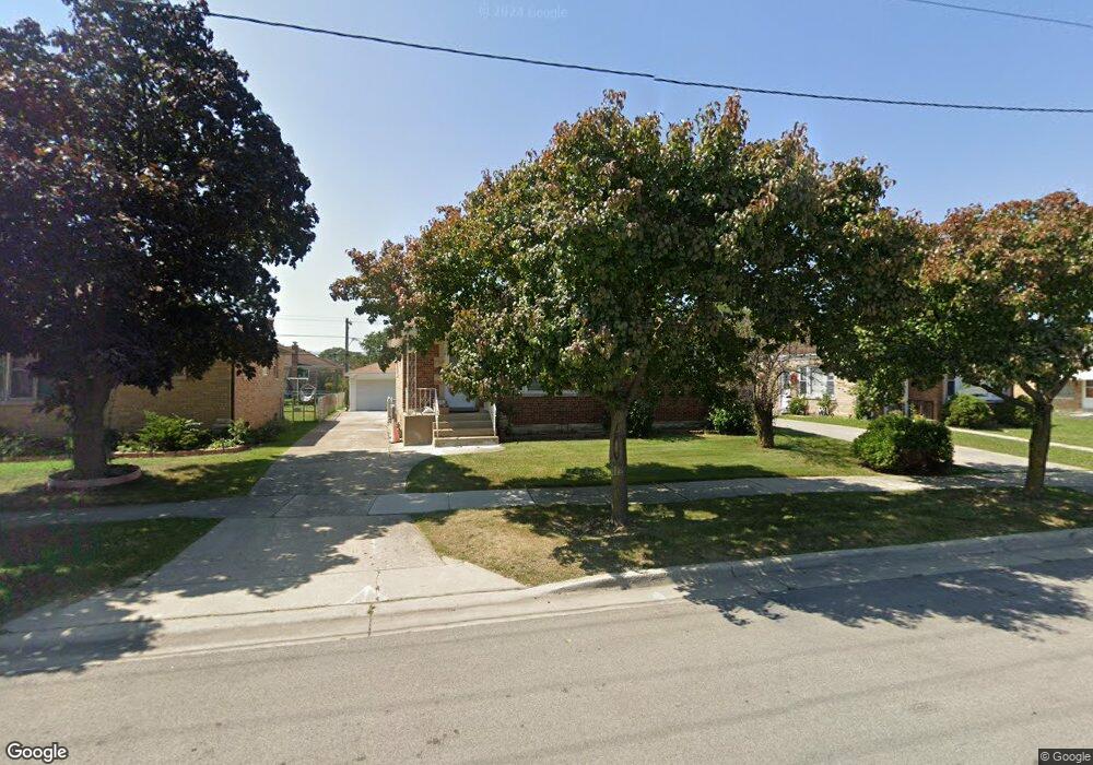
7748 N Waukegan Rd Niles, IL 60714
Lawrencewood Gardens NeighborhoodEstimated Value: $388,000 - $411,000
3
Beds
2
Baths
1,500
Sq Ft
$263/Sq Ft
Est. Value
About This Home
This home is located at 7748 N Waukegan Rd, Niles, IL 60714 and is currently estimated at $394,748, approximately $263 per square foot. 7748 N Waukegan Rd is a home located in Cook County with nearby schools including Clarence E Culver School, Niles West High School, and St John Brebeuf School.
Ownership History
Date
Name
Owned For
Owner Type
Purchase Details
Closed on
May 25, 2007
Sold by
Szymanski Leonard E
Bought by
Ali Syed
Current Estimated Value
Home Financials for this Owner
Home Financials are based on the most recent Mortgage that was taken out on this home.
Original Mortgage
$236,000
Outstanding Balance
$143,865
Interest Rate
6.21%
Mortgage Type
Unknown
Estimated Equity
$250,883
Purchase Details
Closed on
Apr 1, 1998
Sold by
Lasalle National Bank
Bought by
Declaratio Szymanski Leonard W and Leonard W Szymanski Declaration Of Trust
Create a Home Valuation Report for This Property
The Home Valuation Report is an in-depth analysis detailing your home's value as well as a comparison with similar homes in the area
Home Values in the Area
Average Home Value in this Area
Purchase History
| Date | Buyer | Sale Price | Title Company |
|---|---|---|---|
| Ali Syed | $295,000 | Pntn | |
| Declaratio Szymanski Leonard W | -- | -- |
Source: Public Records
Mortgage History
| Date | Status | Borrower | Loan Amount |
|---|---|---|---|
| Open | Ali Syed | $236,000 |
Source: Public Records
Tax History Compared to Growth
Tax History
| Year | Tax Paid | Tax Assessment Tax Assessment Total Assessment is a certain percentage of the fair market value that is determined by local assessors to be the total taxable value of land and additions on the property. | Land | Improvement |
|---|---|---|---|---|
| 2024 | $5,580 | $28,000 | $8,213 | $19,787 |
| 2023 | $5,204 | $28,000 | $8,213 | $19,787 |
| 2022 | $5,204 | $28,000 | $8,213 | $19,787 |
| 2021 | $5,567 | $26,462 | $5,779 | $20,683 |
| 2020 | $5,340 | $26,462 | $5,779 | $20,683 |
| 2019 | $5,491 | $29,403 | $5,779 | $23,624 |
| 2018 | $4,318 | $21,944 | $5,019 | $16,925 |
| 2017 | $4,431 | $21,944 | $5,019 | $16,925 |
| 2016 | $4,381 | $21,944 | $5,019 | $16,925 |
| 2015 | $4,295 | $20,531 | $4,258 | $16,273 |
| 2014 | $4,173 | $20,531 | $4,258 | $16,273 |
| 2013 | $4,232 | $21,129 | $4,258 | $16,871 |
Source: Public Records
Map
Nearby Homes
- 7554 N Waukegan Rd
- 7753 N Nordica Ave
- 7450 N Waukegan Rd Unit 206
- 7232 W Oakton St
- 6914 W Oakton Ct
- 7421 N Oconto Ave
- 7448 W Jonquil Terrace
- 6964 W Cleveland St
- 8049 N Osceola Ave
- 6600 W Wood River Dr Unit B201B
- 8206 N Octavia Ave
- 6882 W Touhy Ave Unit D
- 7875 N Caldwell Ave Unit 302
- 8239 N New England Ave
- 8258 N Octavia Ave
- 7021 W Touhy Ave Unit 509B
- 7021 W Touhy Ave Unit 207B
- 7091 W Touhy Ave Unit 209
- 7091 W Touhy Ave Unit 505
- 8037 N Oriole Ave
- 7746 N Waukegan Rd
- 7750 N Waukegan Rd
- 7744 N Waukegan Rd
- 7756 N Waukegan Rd
- 7745 N Neva Ave
- 7751 N Neva Ave
- 7741 N Neva Ave
- 7730 N Waukegan Rd
- 7757 N Neva Ave
- 7737 N Neva Ave
- 7764 N Waukegan Rd
- 7731 N Neva Ave
- 7765 N Neva Ave
- 7800 N Waukegan Rd
- 7801 N Neva Ave
- 7718 N Waukegan Rd
- 7804 N Waukegan Rd
- 7715 N Neva Ave
- 7805 N Neva Ave
- 7744 N Neva Ave