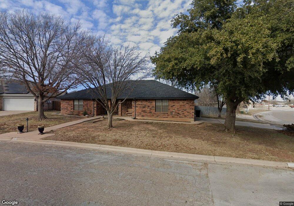
7749 John Carroll Dr Abilene, TX 79606
Far Southside NeighborhoodEstimated Value: $243,000 - $260,000
3
Beds
2
Baths
1,772
Sq Ft
$142/Sq Ft
Est. Value
About This Home
This home is located at 7749 John Carroll Dr, Abilene, TX 79606 and is currently estimated at $250,739, approximately $141 per square foot. 7749 John Carroll Dr is a home located in Taylor County with nearby schools including Wylie West Early Childhood Center, Wylie West Intermediate School, and Wylie West Elementary School.
Ownership History
Date
Name
Owned For
Owner Type
Purchase Details
Closed on
Jan 30, 2012
Sold by
Boyd James C and Boyd Castione P
Bought by
Yarbrough Joshua N
Current Estimated Value
Home Financials for this Owner
Home Financials are based on the most recent Mortgage that was taken out on this home.
Original Mortgage
$115,000
Outstanding Balance
$79,201
Interest Rate
4%
Mortgage Type
New Conventional
Estimated Equity
$171,538
Create a Home Valuation Report for This Property
The Home Valuation Report is an in-depth analysis detailing your home's value as well as a comparison with similar homes in the area
Home Values in the Area
Average Home Value in this Area
Purchase History
| Date | Buyer | Sale Price | Title Company |
|---|---|---|---|
| Yarbrough Joshua N | -- | None Available |
Source: Public Records
Mortgage History
| Date | Status | Borrower | Loan Amount |
|---|---|---|---|
| Open | Yarbrough Joshua N | $115,000 |
Source: Public Records
Tax History Compared to Growth
Tax History
| Year | Tax Paid | Tax Assessment Tax Assessment Total Assessment is a certain percentage of the fair market value that is determined by local assessors to be the total taxable value of land and additions on the property. | Land | Improvement |
|---|---|---|---|---|
| 2025 | $3,674 | $226,776 | $27,729 | $199,047 |
| 2023 | $3,674 | $188,521 | $0 | $0 |
| 2022 | $4,044 | $171,383 | $0 | $0 |
| 2021 | $4,013 | $155,803 | $18,024 | $137,779 |
| 2020 | $3,928 | $150,010 | $18,024 | $131,986 |
| 2019 | $3,920 | $145,318 | $16,637 | $128,681 |
| 2018 | $3,579 | $142,966 | $16,637 | $126,329 |
| 2017 | $3,414 | $141,588 | $16,637 | $124,951 |
| 2016 | $3,320 | $137,680 | $16,637 | $121,043 |
| 2015 | $2,687 | $135,201 | $16,637 | $118,564 |
| 2014 | $2,687 | $133,857 | $0 | $0 |
Source: Public Records
Map
Nearby Homes
- 7710 John Carroll Dr
- 4634 Beall Blvd
- 3809 Mark Ct
- 7501 White Blvd
- 8073 Bonnie Cir
- 7967 Bonnie Cir
- 5001 Buffalo Gap Rd
- 7801 Old Forrest Hill Rd
- 6642 Buffalo Gap Rd
- 4410 Sierra Sunset
- 4833 Meadow Dr
- 8201 Cimarron Trail
- 8326 Cimarron Trail
- 4658 Vista Del Sol
- 5002 Meadow Dr
- 5114 Rossland Rd
- 5084 Fernie St
- 7717 Vineyard Dr
- 4034 Forrest Hill Rd
- 3676 Yamini Dr
- 7741 John Carroll Dr
- 7734 Ruby Esther Cir
- 7742 Ruby Esther Cir
- 7726 Ruby Esther Cir
- 7709 Thompson Pkwy
- 7717 Thompson Pkwy
- 7782 John Carroll Dr
- 7733 John Carroll Dr
- 7801 Thompson Pkwy
- 7718 Ruby Esther Cir
- 7774 John Carroll Dr
- 7701 Thompson Pkwy
- 7725 John Carroll Dr
- 7809 Thompson Pkwy
- 7657 Ruby Esther Cir
- 7766 John Carroll Dr
- 7741 Ruby Esther Cir
- 4310 Beall Blvd
- 7749 Ruby Esther Cir
- 4318 Beall Blvd