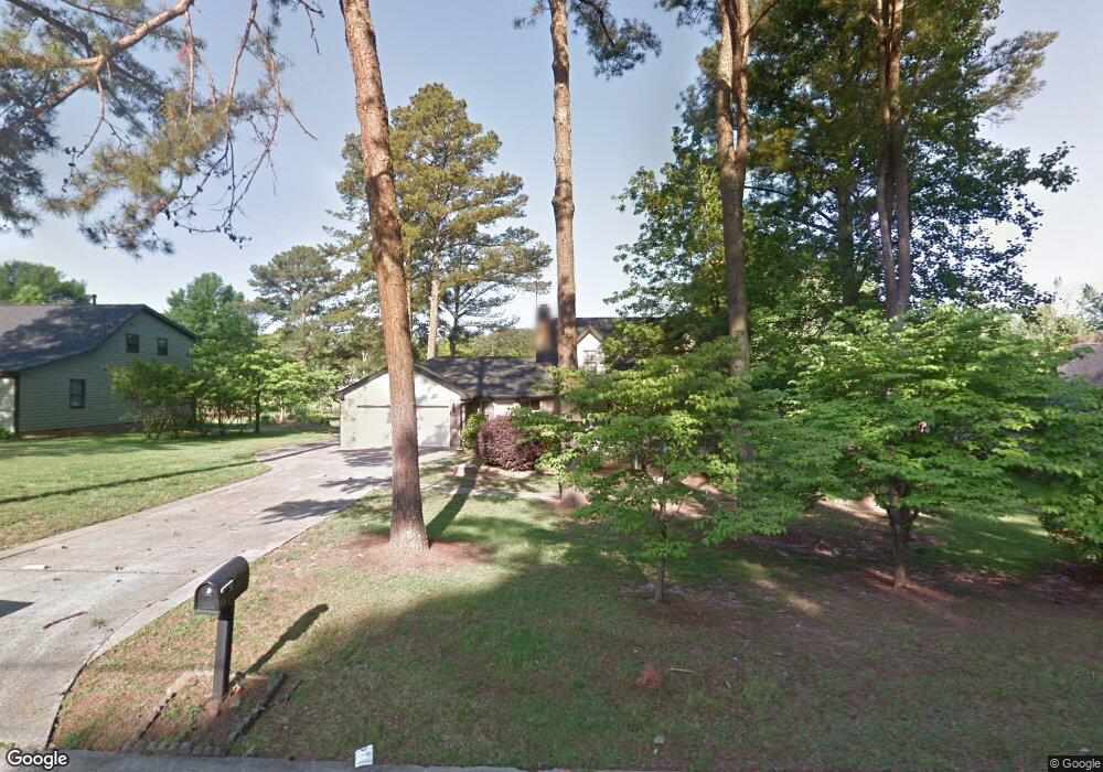
7749 Morant Dr Jonesboro, GA 30236
Estimated Value: $226,000 - $303,000
3
Beds
3
Baths
1,898
Sq Ft
$139/Sq Ft
Est. Value
About This Home
This home is located at 7749 Morant Dr, Jonesboro, GA 30236 and is currently estimated at $263,032, approximately $138 per square foot. 7749 Morant Dr is a home located in Clayton County with nearby schools including James Jackson Elementary School, M. D. Roberts Middle School, and Mount Zion High School.
Ownership History
Date
Name
Owned For
Owner Type
Purchase Details
Closed on
Apr 14, 2009
Sold by
Bear Stearns A Trust 2004-12
Bought by
Buckles Reginald G
Current Estimated Value
Home Financials for this Owner
Home Financials are based on the most recent Mortgage that was taken out on this home.
Original Mortgage
$57,832
Interest Rate
4.8%
Mortgage Type
FHA
Purchase Details
Closed on
Jun 3, 2008
Sold by
Langford Melinda H
Bought by
Bear Stearns Trust 2004-12
Purchase Details
Closed on
Jul 30, 1996
Sold by
Stratton Richard H Joan M
Bought by
Langford Michael J Melinda
Create a Home Valuation Report for This Property
The Home Valuation Report is an in-depth analysis detailing your home's value as well as a comparison with similar homes in the area
Home Values in the Area
Average Home Value in this Area
Purchase History
| Date | Buyer | Sale Price | Title Company |
|---|---|---|---|
| Buckles Reginald G | $858,900 | -- | |
| Bear Stearns Trust 2004-12 | $129,900 | -- | |
| Langford Michael J Melinda | $126,000 | -- |
Source: Public Records
Mortgage History
| Date | Status | Borrower | Loan Amount |
|---|---|---|---|
| Previous Owner | Buckles Reginald G | $57,832 | |
| Closed | Langford Michael J Melinda | $0 |
Source: Public Records
Tax History Compared to Growth
Tax History
| Year | Tax Paid | Tax Assessment Tax Assessment Total Assessment is a certain percentage of the fair market value that is determined by local assessors to be the total taxable value of land and additions on the property. | Land | Improvement |
|---|---|---|---|---|
| 2024 | $2,463 | $72,200 | $9,600 | $62,600 |
| 2023 | $1,665 | $73,120 | $9,600 | $63,520 |
| 2022 | $2,437 | $71,160 | $9,600 | $61,560 |
| 2021 | $1,973 | $59,040 | $9,600 | $49,440 |
| 2020 | $1,793 | $53,915 | $9,600 | $44,315 |
| 2019 | $1,661 | $50,026 | $9,600 | $40,426 |
| 2018 | $1,683 | $50,573 | $9,600 | $40,973 |
| 2017 | $1,659 | $49,886 | $9,600 | $40,286 |
| 2016 | $1,314 | $41,405 | $9,600 | $31,805 |
| 2015 | $1,309 | $0 | $0 | $0 |
| 2014 | $1,649 | $40,544 | $9,600 | $30,944 |
Source: Public Records
Map
Nearby Homes
- 2809 Highway 138 E
- 7641 Kevin Place
- 2884 Kevin Ln Unit 2
- 7582 Colonial Ct Unit 2
- 2919 Cushing Ct Unit 2
- 7536 Old Ln S
- 708 Berkeley Dr
- 208 Starr Cir
- 204 Starr Cir
- 200 Starr Cir
- 269 Epping St Unit 81
- 253 Epping St Unit 85
- 241 Epping St Unit 88
- 225 Epping St Unit 92
- 217 Starr Cir
- 213 Starr Cir
- 205 Starr Cir
- 201 Starr Cir
- 228 Epping St Unit 8
- Edmund Plan at Reeves Park - Reeve's Park
- 7761 Morant Dr
- 7737 Morant Dr
- 0 Morant Dr Unit 8251464
- 0 Morant Dr Unit 8150846
- 0 Morant Dr Unit 3142569
- 0 Morant Dr Unit 8701508
- 0 Morant Dr Unit 8959532
- 0 Morant Dr Unit 8992721
- 0 Morant Dr Unit 8782892
- 0 Morant Dr Unit 8820672
- 0 Morant Dr Unit 8847425
- 0 Morant Dr Unit 7037728
- 0 Morant Dr Unit 7060729
- 0 Morant Dr Unit 7151930
- 0 Morant Dr Unit 7337318
- 0 Morant Dr Unit 7580216
- 0 Morant Dr Unit 8019012
- 0 Morant Dr Unit 8084574
- 0 Morant Dr
- 7725 Morant Dr