Estimated Value: $192,000 - $292,000
3
Beds
3
Baths
1,668
Sq Ft
$133/Sq Ft
Est. Value
About This Home
This home is located at 775 Atwater St, Lyons, MI 48851 and is currently estimated at $222,636, approximately $133 per square foot. 775 Atwater St is a home located in Ionia County with nearby schools including Ionia High School.
Ownership History
Date
Name
Owned For
Owner Type
Purchase Details
Closed on
Jan 28, 2010
Sold by
Robinson Mary Kay and Bitten Mary Kay
Bought by
Allen Ashley J and Allen Michelle
Current Estimated Value
Home Financials for this Owner
Home Financials are based on the most recent Mortgage that was taken out on this home.
Original Mortgage
$100,000
Outstanding Balance
$66,744
Interest Rate
5.2%
Mortgage Type
Purchase Money Mortgage
Estimated Equity
$155,892
Purchase Details
Closed on
Nov 27, 2006
Sold by
Bitten Mark Allen
Bought by
Bitten Mary Kay
Create a Home Valuation Report for This Property
The Home Valuation Report is an in-depth analysis detailing your home's value as well as a comparison with similar homes in the area
Purchase History
| Date | Buyer | Sale Price | Title Company |
|---|---|---|---|
| Allen Ashley J | $98,000 | -- | |
| Bitten Mary Kay | -- | None Available |
Source: Public Records
Mortgage History
| Date | Status | Borrower | Loan Amount |
|---|---|---|---|
| Open | Allen Ashley J | $100,000 |
Source: Public Records
Tax History
| Year | Tax Paid | Tax Assessment Tax Assessment Total Assessment is a certain percentage of the fair market value that is determined by local assessors to be the total taxable value of land and additions on the property. | Land | Improvement |
|---|---|---|---|---|
| 2025 | $1,501 | $82,700 | $6,700 | $76,000 |
| 2024 | $11 | $82,700 | $6,700 | $76,000 |
| 2023 | $1,016 | $65,700 | $6,100 | $59,600 |
| 2022 | $968 | $65,700 | $6,100 | $59,600 |
| 2021 | $1,862 | $55,900 | $6,100 | $49,800 |
| 2020 | $940 | $55,900 | $6,100 | $49,800 |
| 2019 | $880 | $54,200 | $6,000 | $48,200 |
| 2018 | $1,776 | $43,700 | $3,400 | $40,300 |
| 2017 | $888 | $43,700 | $3,400 | $40,300 |
| 2016 | $880 | $38,800 | $3,500 | $35,300 |
| 2015 | -- | $38,800 | $3,500 | $35,300 |
| 2014 | $897 | $51,600 | $7,200 | $44,400 |
Source: Public Records
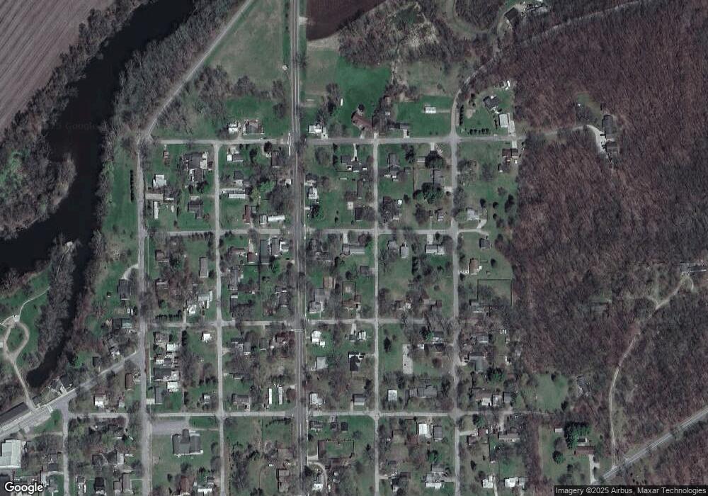
Map
Nearby Homes
- 93 N Robinson St
- 134 Prairie St
- 1273 E Bridge St
- 1100 Hayes Rd
- 781 Hopkins Rd
- 1067 Somers Rd
- 1170 Somers Rd
- 214 Wilson Ln
- 8435 E Point Dr
- 10400 E Pewamo Rd Unit 19
- 735 Prairie Creek Rd
- 2275 Kingston Farm Ln
- 2239 Kingston Farm Ln
- Lot 17 Field Crest Point
- Lot 17 of Field Crescent
- 8351 Goodwin Rd
- 2874 Struble Rd
- 0 Parcel 2 Kingston Rd
- 0 Parcel 3 Kingston Rd
- 0 Parcel 1 Kingston Rd
- 352 N Tabor St
- 809 Atwater St
- 439 N Lyons St
- 308 N Robinson St
- 306 N Tabor St
- 808 Atwater St
- 422 N Tabor St
- 351 N Higbee St
- 255 N Robinson St
- 353 N Tabor St
- 305 N Tabor St
- 0 Lyons St Unit LOT 1
- 840 Atwater St
- 466 N Robinson St
- 254 N Tabor St
- 434 N Tabor St
- 842 Lyons St
- 771 Fuller St
- 456 N Robinson St
- 235 N Robinson St
Your Personal Tour Guide
Ask me questions while you tour the home.