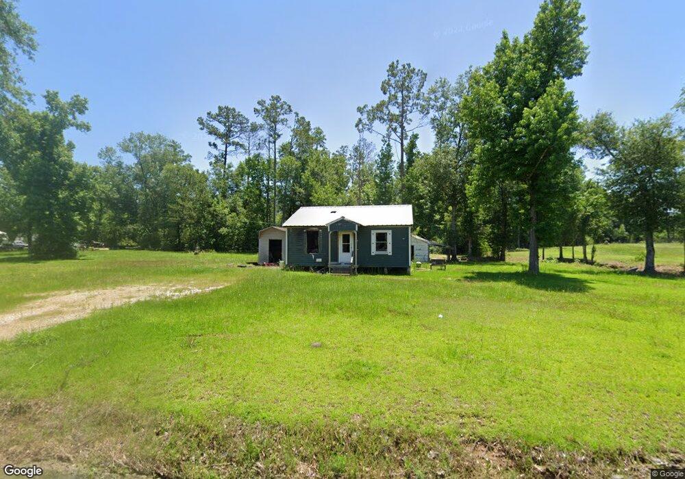
775 Brian St Sulphur, LA 70663
Estimated Value: $68,369 - $257,000
--
Bed
--
Bath
--
Sq Ft
--
Built
About This Home
This home is located at 775 Brian St, Sulphur, LA 70663 and is currently estimated at $136,456. 775 Brian St is a home located in Calcasieu Parish with nearby schools including Frasch Elementary School, LeBlanc Middle School, and Sulphur High School.
Ownership History
Date
Name
Owned For
Owner Type
Purchase Details
Closed on
Apr 19, 2024
Sold by
Koonce Zachary Wayne
Bought by
Stetz Shase Edmond
Current Estimated Value
Purchase Details
Closed on
Jun 13, 2016
Sold by
Ulmer Leland Brent and Ulmer Desiree Renee Meyers
Bought by
Koonce Zachary Wayne
Home Financials for this Owner
Home Financials are based on the most recent Mortgage that was taken out on this home.
Original Mortgage
$73,007
Interest Rate
3.66%
Mortgage Type
Future Advance Clause Open End Mortgage
Purchase Details
Closed on
Jul 30, 2008
Sold by
Welch Donald Ray and Welch Sheryl Barnes
Bought by
Ulmer Leland Brent
Home Financials for this Owner
Home Financials are based on the most recent Mortgage that was taken out on this home.
Original Mortgage
$42,856
Interest Rate
6.4%
Mortgage Type
Purchase Money Mortgage
Create a Home Valuation Report for This Property
The Home Valuation Report is an in-depth analysis detailing your home's value as well as a comparison with similar homes in the area
Home Values in the Area
Average Home Value in this Area
Purchase History
| Date | Buyer | Sale Price | Title Company |
|---|---|---|---|
| Stetz Shase Edmond | $8,000 | None Listed On Document | |
| Koonce Zachary Wayne | $71,000 | Mayo Land Title Co Inc | |
| Ulmer Leland Brent | $42,000 | None Available |
Source: Public Records
Mortgage History
| Date | Status | Borrower | Loan Amount |
|---|---|---|---|
| Previous Owner | Koonce Zachary Wayne | $73,007 | |
| Previous Owner | Ulmer Leland Brent | $42,856 |
Source: Public Records
Tax History Compared to Growth
Tax History
| Year | Tax Paid | Tax Assessment Tax Assessment Total Assessment is a certain percentage of the fair market value that is determined by local assessors to be the total taxable value of land and additions on the property. | Land | Improvement |
|---|---|---|---|---|
| 2024 | $248 | $2,170 | $2,160 | $10 |
| 2023 | $248 | $6,620 | $2,160 | $4,460 |
| 2022 | $757 | $6,620 | $2,160 | $4,460 |
| 2021 | $0 | $6,620 | $2,160 | $4,460 |
| 2020 | $695 | $6,080 | $2,070 | $4,010 |
| 2019 | $756 | $6,460 | $2,000 | $4,460 |
| 2018 | $331 | $6,460 | $2,000 | $4,460 |
| 2017 | $740 | $6,460 | $2,000 | $4,460 |
| 2016 | $331 | $6,460 | $2,000 | $4,460 |
| 2015 | $331 | $2,810 | $1,650 | $1,160 |
Source: Public Records
Map
Nearby Homes
- 931 W Houston River Rd
- 2890 Avondale St
- 2789 Avondale St
- 2769 Avondale St
- 0 Parker Rd
- 1542 Koonce Rd
- 0 E Houston River Rd
- 3938 Kendrick Rd
- 128 Sam Dunham Rd
- 2061 W Houston River Rd
- 3485 Saint Theresa Ln
- 3561 Saint Theresa Ln
- 3529 Alisha Ln
- 207 Thicket Rd
- 4151 S Kendrick Rd
- 133 High Hope Rd
- 2305 Koonce Rd
- 1418 Lewis St
- 3589 Saint Luke Ln
- 306 Sam Dunham Rd