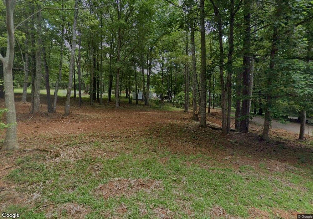
775 Cherokee Point Dr Canton, GA 30114
Oak Grove NeighborhoodEstimated Value: $652,000 - $923,075
3
Beds
3
Baths
3,399
Sq Ft
$235/Sq Ft
Est. Value
About This Home
This home is located at 775 Cherokee Point Dr, Canton, GA 30114 and is currently estimated at $798,269, approximately $234 per square foot. 775 Cherokee Point Dr is a home located in Cherokee County with nearby schools including Sixes Elementary School, Freedom Middle School, and Woodstock High School.
Ownership History
Date
Name
Owned For
Owner Type
Purchase Details
Closed on
Apr 16, 2018
Sold by
Magner Ronald
Bought by
Earnest Nancy H and Earnest Curtis E
Current Estimated Value
Home Financials for this Owner
Home Financials are based on the most recent Mortgage that was taken out on this home.
Original Mortgage
$300,000
Outstanding Balance
$257,440
Interest Rate
4.44%
Mortgage Type
New Conventional
Estimated Equity
$540,829
Create a Home Valuation Report for This Property
The Home Valuation Report is an in-depth analysis detailing your home's value as well as a comparison with similar homes in the area
Home Values in the Area
Average Home Value in this Area
Purchase History
| Date | Buyer | Sale Price | Title Company |
|---|---|---|---|
| Earnest Nancy H | $505,000 | -- |
Source: Public Records
Mortgage History
| Date | Status | Borrower | Loan Amount |
|---|---|---|---|
| Open | Earnest Nancy H | $300,000 |
Source: Public Records
Tax History Compared to Growth
Tax History
| Year | Tax Paid | Tax Assessment Tax Assessment Total Assessment is a certain percentage of the fair market value that is determined by local assessors to be the total taxable value of land and additions on the property. | Land | Improvement |
|---|---|---|---|---|
| 2025 | $2,100 | $413,680 | $115,800 | $297,880 |
| 2024 | $4,716 | $350,624 | $72,360 | $278,264 |
| 2023 | $4,480 | $354,808 | $72,360 | $282,448 |
| 2022 | $3,762 | $282,952 | $72,360 | $210,592 |
| 2021 | $3,014 | $229,040 | $60,320 | $168,720 |
| 2020 | $2,626 | $210,240 | $60,320 | $149,920 |
| 2019 | $2,541 | $204,440 | $60,320 | $144,120 |
| 2018 | $2,298 | $194,360 | $60,320 | $134,040 |
| 2017 | $1,742 | $445,500 | $42,200 | $136,000 |
| 2016 | $1,742 | $412,600 | $37,800 | $127,240 |
| 2015 | $1,666 | $402,800 | $32,000 | $129,120 |
| 2014 | $1,267 | $326,900 | $27,640 | $103,120 |
Source: Public Records
Map
Nearby Homes
- 525 Sycamore Point
- 523 Sycamore Point
- 703 Overlook Point
- 1052 Longwood Dr
- 1704 Amberwood Pointe
- 1017 Fairway Valley Dr
- 1512 Maplewood Ct
- 241 Falcon Pointe Ct
- 409 Misty Ridge Way
- 1029 Chatsworth Ln
- 509 Wooten Dr
- 701 Whisper Wind Ct
- 1028 Deer Hollow Dr
- 522 Huntgate Rd Unit 4
- 1722 Indian Ridge Dr
- 8014 Bells Ferry Rd
- 7119 Big Woods Dr
- 695 Cherokee Point Dr
- 641 Cherokee Point Dr
- 745 Cherokee Point Dr
- 680 Cherokee Point Dr
- 644 Cherokee Point Dr
- 555 Cherokee Point Dr
- 555 Cherokee Point Dr
- 560 Cherokee Point Dr
- 514 Cherokee Point Dr
- 485 Cherokee Point Dr
- 503 Cherokee Point Dr
- 497 Cherokee Point Dr
- 480 Cherokee Point Dr
- 399 Cherokee Point Dr
- 510 Scenic Way
- 512 Scenic Way
- 0 Cherokee Point Unit 7408885
- 325 Cherokee Point Dr
- 511 Scenic Way
- 0 Scenic Way Unit 7618679
