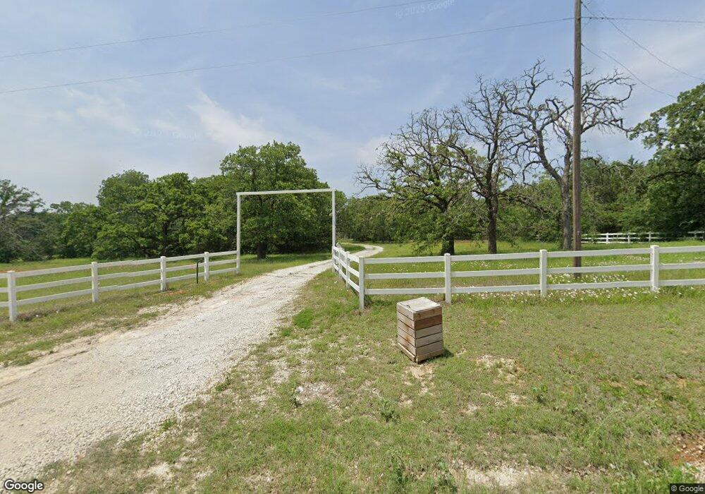
775 County Road 113 Whitesboro, TX 76273
Estimated Value: $657,190 - $756,000
3
Beds
3
Baths
2,376
Sq Ft
$300/Sq Ft
Est. Value
About This Home
This home is located at 775 County Road 113, Whitesboro, TX 76273 and is currently estimated at $713,298, approximately $300 per square foot. 775 County Road 113 is a home located in Cooke County with nearby schools including Callisburg Elementary School, Callisburg Middle School, and Callisburg High School.
Ownership History
Date
Name
Owned For
Owner Type
Purchase Details
Closed on
Dec 8, 2017
Sold by
Donald T Lorrie A Kitchens
Bought by
Block Carl and Block Patricia
Current Estimated Value
Home Financials for this Owner
Home Financials are based on the most recent Mortgage that was taken out on this home.
Original Mortgage
$290,700
Outstanding Balance
$243,594
Interest Rate
3.94%
Estimated Equity
$469,704
Create a Home Valuation Report for This Property
The Home Valuation Report is an in-depth analysis detailing your home's value as well as a comparison with similar homes in the area
Home Values in the Area
Average Home Value in this Area
Purchase History
| Date | Buyer | Sale Price | Title Company |
|---|---|---|---|
| Block Carl | $363,375 | -- |
Source: Public Records
Mortgage History
| Date | Status | Borrower | Loan Amount |
|---|---|---|---|
| Open | Block Carl | $290,700 | |
| Closed | Block Carl | -- |
Source: Public Records
Tax History Compared to Growth
Tax History
| Year | Tax Paid | Tax Assessment Tax Assessment Total Assessment is a certain percentage of the fair market value that is determined by local assessors to be the total taxable value of land and additions on the property. | Land | Improvement |
|---|---|---|---|---|
| 2025 | $4,724 | $613,262 | $189,000 | $456,519 |
| 2024 | $4,724 | $646,444 | $189,000 | $457,444 |
| 2023 | $6,471 | $506,828 | $167,000 | $420,295 |
| 2022 | $6,834 | $566,302 | $146,600 | $419,702 |
| 2021 | $7,660 | $418,866 | $119,000 | $299,866 |
| 2020 | $7,982 | $409,567 | $107,000 | $302,567 |
| 2019 | $7,264 | $372,823 | $89,000 | $283,823 |
| 2018 | $6,594 | $336,600 | $77,000 | $259,600 |
| 2017 | $4,847 | $245,152 | $50,000 | $195,152 |
| 2015 | $4,324 | $235,892 | $50,000 | $185,892 |
| 2014 | $4,324 | $234,055 | $50,000 | $184,055 |
Source: Public Records
Map
Nearby Homes
- 37.38 Farm To Market Road 678
- 14279 Fm 678
- 1304 County Road 115 Unit 12
- 1304 County Road 115
- 13023 Big Indian Rd
- 3.00 Acres Farm To Market Road 678
- 409 Austin St
- 398 Phillips St
- 108 Post Oak Ln
- 401 Austin St
- TBD Cr-122
- TBD Cr 113
- 0 Tbd County Road 113
- 638 County Road 119
- TBD Cr 136
- 000 County Road 1258
- TBD Bar Brock Trail
- 130 County Road 1264
- 210 County Road 1264
- 783 County Road 128
- 815 County Road 113
- 677 County Road 113
- 662 County Road 113
- 759 County Road 115
- 995 County Road 113
- 13653 Big Indian Rd
- 13545 Big Indian Rd
- TBD 11.00 ac Cr 113
- 421 Dozier St
- 13768 Big Indian Rd
- 13606 Big Indian Rd
- 1330 County Road 113
- 1300 County Road 113
- 422 Dozier St
- 000 Farm To Market Road 678
- 11122 Farm To Market Road 678
- 60+ Ac Farm To Market Road 678
- 30 Acre Farm To Market Road 678
- tbd Cr-115
- TBD Cr 115