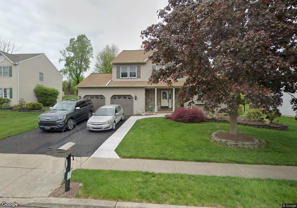
775 Duxbury Dr Langhorne, PA 19047
Estimated Value: $541,795 - $699,000
3
Beds
3
Baths
1,896
Sq Ft
$322/Sq Ft
Est. Value
About This Home
This home is located at 775 Duxbury Dr, Langhorne, PA 19047 and is currently estimated at $610,699, approximately $322 per square foot. 775 Duxbury Dr is a home located in Bucks County with nearby schools including Hoover Elementary School, Maple Point Middle School, and Neshaminy High School.
Ownership History
Date
Name
Owned For
Owner Type
Purchase Details
Closed on
Jun 29, 2005
Sold by
Dicicco Dennis J and Dicicco Wendi
Bought by
Ballman Michael and Ballman Lisa Katz
Current Estimated Value
Home Financials for this Owner
Home Financials are based on the most recent Mortgage that was taken out on this home.
Original Mortgage
$44,850
Outstanding Balance
$23,427
Interest Rate
5.67%
Mortgage Type
Credit Line Revolving
Estimated Equity
$587,272
Purchase Details
Closed on
Feb 19, 2003
Sold by
Dicicco Dennis J and Dicicco Wendi G
Bought by
Dicicco Dennis J and Dicicco Wendi G
Home Financials for this Owner
Home Financials are based on the most recent Mortgage that was taken out on this home.
Original Mortgage
$77,000
Interest Rate
5.28%
Mortgage Type
Purchase Money Mortgage
Create a Home Valuation Report for This Property
The Home Valuation Report is an in-depth analysis detailing your home's value as well as a comparison with similar homes in the area
Home Values in the Area
Average Home Value in this Area
Purchase History
| Date | Buyer | Sale Price | Title Company |
|---|---|---|---|
| Ballman Michael | $448,500 | Speedy Title Llc | |
| Dicicco Dennis J | -- | Lawyers Title Insurance Corp |
Source: Public Records
Mortgage History
| Date | Status | Borrower | Loan Amount |
|---|---|---|---|
| Open | Ballman Michael | $44,850 | |
| Open | Ballman Michael | $358,800 | |
| Previous Owner | Dicicco Dennis J | $77,000 |
Source: Public Records
Tax History Compared to Growth
Tax History
| Year | Tax Paid | Tax Assessment Tax Assessment Total Assessment is a certain percentage of the fair market value that is determined by local assessors to be the total taxable value of land and additions on the property. | Land | Improvement |
|---|---|---|---|---|
| 2025 | $7,611 | $34,960 | $4,440 | $30,520 |
| 2024 | $7,611 | $34,960 | $4,440 | $30,520 |
| 2023 | $7,490 | $34,960 | $4,440 | $30,520 |
| 2022 | $7,293 | $34,960 | $4,440 | $30,520 |
| 2021 | $7,293 | $34,960 | $4,440 | $30,520 |
| 2020 | $7,206 | $34,960 | $4,440 | $30,520 |
| 2019 | $7,045 | $34,960 | $4,440 | $30,520 |
| 2018 | $6,916 | $34,960 | $4,440 | $30,520 |
| 2017 | $6,739 | $34,960 | $4,440 | $30,520 |
| 2016 | $6,739 | $34,960 | $4,440 | $30,520 |
| 2015 | $6,929 | $34,960 | $4,440 | $30,520 |
| 2014 | $6,929 | $34,960 | $4,440 | $30,520 |
Source: Public Records
Map
Nearby Homes
- 731 Highland Ave
- 2816 Avenue E
- 2823 Avenue E
- 790 E Parker St Unit A1
- 801 E Parker St Unit B2
- 0 Prospect Ave
- 1516 Fairview Ave
- 565 Hulmeville Rd
- 1420 Super Hwy
- 1632 Winter Ave
- 710 Fox Ct
- 56 W Lincoln Hwy
- 6351 Shewell Rd
- 409 Fairview Ave
- 24 W Lincoln Hwy
- 1605 Old Lincoln Hwy
- 3225 Ethan Allen Ct
- 6504 Timothy Ct
- 6369 Powder Horn Ct
- 547 Hulmeville Ave
- 785 Duxbury Dr
- 737 Duxbury Dr
- 801 Duxbury Dr
- 778 Duxbury Dr
- 754 Duxbury Dr
- 802 Duxbury Dr
- 740 Duxbury Dr
- 827 Duxbury Dr
- 719 Duxbury Dr
- 824 Duxbury Dr
- 720 Duxbury Dr
- 763 Highland Ave
- 787 Highland Ave
- 743 Highland Ave
- 711 Duxbury Dr
- 855 Duxbury Dr
- 710 Duxbury Dr
- 733 Highland Ave
- 803 Highland Ave
- 848 Duxbury Dr