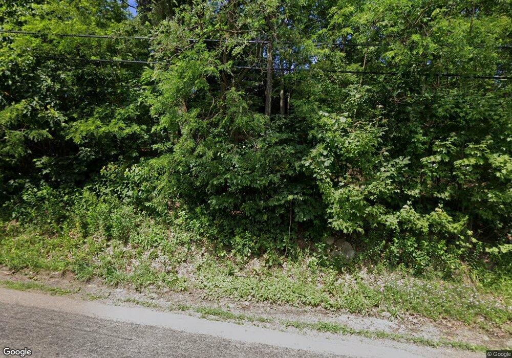
775 Flat Rock Rd Markleysburg, PA 15459
Henry Clay Township NeighborhoodEstimated Value: $71,000 - $263,513
3
Beds
2
Baths
1,268
Sq Ft
$120/Sq Ft
Est. Value
About This Home
This home is located at 775 Flat Rock Rd, Markleysburg, PA 15459 and is currently estimated at $152,378, approximately $120 per square foot. 775 Flat Rock Rd is a home located in Fayette County with nearby schools including Uniontown Area Senior High School.
Ownership History
Date
Name
Owned For
Owner Type
Purchase Details
Closed on
Feb 9, 2006
Sold by
Martin Andrew J
Bought by
Martin Fred E and Martin Lisa M
Current Estimated Value
Home Financials for this Owner
Home Financials are based on the most recent Mortgage that was taken out on this home.
Original Mortgage
$27,000
Outstanding Balance
$15,263
Interest Rate
6.27%
Mortgage Type
Purchase Money Mortgage
Estimated Equity
$137,115
Purchase Details
Closed on
Jul 23, 1981
Bought by
Martin Fred E
Create a Home Valuation Report for This Property
The Home Valuation Report is an in-depth analysis detailing your home's value as well as a comparison with similar homes in the area
Home Values in the Area
Average Home Value in this Area
Purchase History
| Date | Buyer | Sale Price | Title Company |
|---|---|---|---|
| Martin Fred E | $27,000 | None Available | |
| Martin Fred E | $40,000 | -- |
Source: Public Records
Mortgage History
| Date | Status | Borrower | Loan Amount |
|---|---|---|---|
| Open | Martin Fred E | $27,000 |
Source: Public Records
Tax History Compared to Growth
Tax History
| Year | Tax Paid | Tax Assessment Tax Assessment Total Assessment is a certain percentage of the fair market value that is determined by local assessors to be the total taxable value of land and additions on the property. | Land | Improvement |
|---|---|---|---|---|
| 2025 | $1,096 | $42,835 | $17,675 | $25,160 |
| 2024 | $1,061 | $43,485 | $17,675 | $25,810 |
| 2023 | $2,122 | $43,485 | $17,675 | $25,810 |
| 2022 | $2,122 | $43,485 | $17,675 | $25,810 |
| 2021 | $2,122 | $43,485 | $17,675 | $25,810 |
| 2020 | $2,074 | $43,485 | $17,675 | $25,810 |
| 2019 | $1,905 | $43,485 | $17,675 | $25,810 |
| 2018 | $1,803 | $43,485 | $17,675 | $25,810 |
| 2017 | $1,803 | $43,485 | $17,675 | $25,810 |
| 2016 | -- | $43,485 | $17,675 | $25,810 |
| 2015 | -- | $43,485 | $17,675 | $25,810 |
| 2014 | -- | $86,970 | $35,350 | $51,620 |
Source: Public Records
Map
Nearby Homes
- 0 Unit WP001
- 000 National Pike
- 367 Pike School Rd
- 4700 National Pike
- 4564 National Pike
- 0 Walker Rd Unit 11505971
- 442 Bruceton Rd
- 113 Cross St
- 4406 National Pike
- 171 Mae Rd W
- 200 Brown Hill Rd
- 0 Guthrie Rd
- 4306 National Pike
- 4261 National Pike
- 309 Dark Hollow Rd
- 255 Smith School Rd
- 100 First Street Lot Unit WP001
- 100 First St
- 390 Tub Run Rd
- 50 Hawes Rd
- 776 Flat Rock Rd
- 765 Flat Rock Rd
- 781 Flat Rock Rd
- 529 Braddock Rd
- 516 Braddock Rd
- 809 Flat Rock Rd
- 510 Braddock Rd
- 808 Flat Rock Rd
- 814 Flat Rock Rd
- 735 Flat Rock Rd
- 825 Flat Rock Rd
- 734 Flat Rock Rd
- 480 Braddock Rd
- 830 Flat Rock Rd
- 104 Degelman Rd
- 842 Flat Rock Rd
- 150 Degelman Rd
- 114 Degelman Rd
- 716 Flat Rock Rd
- 109 Degelman Rd
