775 Hawksbill Island Dr Satellite Beach, FL 32937
Estimated Value: $1,337,652 - $1,401,000
5
Beds
3
Baths
3,400
Sq Ft
$400/Sq Ft
Est. Value
About This Home
This home is located at 775 Hawksbill Island Dr, Satellite Beach, FL 32937 and is currently estimated at $1,360,217, approximately $400 per square foot. 775 Hawksbill Island Dr is a home located in Brevard County with nearby schools including Sea Park Elementary School, Satellite Senior High School, and DeLaura Middle School.
Ownership History
Date
Name
Owned For
Owner Type
Purchase Details
Closed on
Aug 25, 2011
Sold by
Edwards Roger J and Edwards Elvira J
Bought by
Layton Daniel H and Layton Sandra L
Current Estimated Value
Home Financials for this Owner
Home Financials are based on the most recent Mortgage that was taken out on this home.
Original Mortgage
$270,000
Outstanding Balance
$186,683
Interest Rate
4.54%
Estimated Equity
$1,173,534
Purchase Details
Closed on
Apr 23, 2004
Sold by
Smith Roy V
Bought by
Edwards Roger J and Edwards Elvira J
Home Financials for this Owner
Home Financials are based on the most recent Mortgage that was taken out on this home.
Original Mortgage
$588,000
Interest Rate
1%
Purchase Details
Closed on
Oct 11, 1994
Sold by
Smith Rosanne Firriolo
Bought by
Smith Roy V
Create a Home Valuation Report for This Property
The Home Valuation Report is an in-depth analysis detailing your home's value as well as a comparison with similar homes in the area
Home Values in the Area
Average Home Value in this Area
Purchase History
| Date | Buyer | Sale Price | Title Company |
|---|---|---|---|
| Layton Daniel H | $575,000 | State Title | |
| Edwards Roger J | $735,000 | -- | |
| Smith Roy V | $62,800 | -- |
Source: Public Records
Mortgage History
| Date | Status | Borrower | Loan Amount |
|---|---|---|---|
| Open | Layton Daniel H | $270,000 | |
| Previous Owner | Edwards Roger J | $588,000 |
Source: Public Records
Tax History Compared to Growth
Tax History
| Year | Tax Paid | Tax Assessment Tax Assessment Total Assessment is a certain percentage of the fair market value that is determined by local assessors to be the total taxable value of land and additions on the property. | Land | Improvement |
|---|---|---|---|---|
| 2025 | $820 | $551,540 | -- | -- |
| 2024 | $796 | $536,000 | -- | -- |
| 2023 | $796 | $520,390 | $0 | $0 |
| 2022 | $772 | $505,240 | $0 | $0 |
| 2021 | $1,889 | $490,530 | $0 | $0 |
| 2020 | $2,373 | $483,760 | $0 | $0 |
| 2019 | $2,325 | $472,890 | $0 | $0 |
| 2018 | $6,500 | $464,080 | $0 | $0 |
| 2017 | $6,606 | $454,540 | $0 | $0 |
| 2016 | $6,757 | $445,200 | $240,000 | $205,200 |
| 2015 | $6,923 | $437,700 | $240,000 | $197,700 |
| 2014 | $6,986 | $434,230 | $240,000 | $194,230 |
Source: Public Records
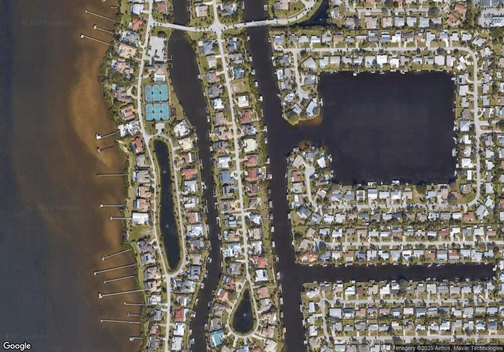
Map
Nearby Homes
- 345 S Point Ct
- 437 N Neptune Dr
- 432 N Neptune Dr
- 429 S Neptune Dr
- 335 Coral Reef Dr
- 867 S Patrick Dr
- 11 Barbara Ct
- 336 Jupiter Dr
- 935 & 937 S Patrick Dr
- 53 Emerald Ct
- 27 Tortuga Trail
- 29 Tortuga Trail
- 31 Tortuga Trail
- 33 Tortuga Trail
- 35 Tortuga Trail
- 37 Tortuga Trail
- 695 Jackson Ct
- 313 Polaris Dr
- Pearson End Unit Plan at Tortuga Cay
- Pearson Interior Unit Plan at Tortuga Cay
- 783 Hawksbill Island Dr
- 767 Hawksbill Island Dr
- 791 Hawksbill Island Dr
- 774 Hawksbill Island Dr
- 759 Hawksbill Island Dr
- 782 Hawksbill Island Dr
- 766 Hawksbill Island Dr
- 344 S Point Ct
- 790 Hawksbill Island Dr
- 340 S Point Ct
- 758 Hawksbill Island Dr
- 348 S Point Ct
- 799 Hawksbill Island Dr
- 751 Hawksbill Island Dr
- 336 S Point Ct
- 798 Hawksbill Island Dr
- 750 Hawksbill Island Dr
- 807 Hawksbill Island Dr
- 332 S Point Ct
- 743 Hawksbill Island Dr