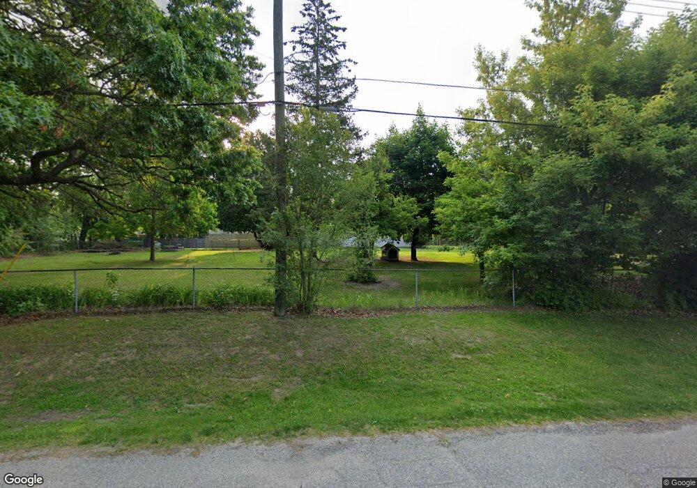
775 Merritt Ave Lake Orion, MI 48362
Estimated Value: $288,000 - $404,000
4
Beds
3
Baths
1,623
Sq Ft
$202/Sq Ft
Est. Value
About This Home
This home is located at 775 Merritt Ave, Lake Orion, MI 48362 and is currently estimated at $328,220, approximately $202 per square foot. 775 Merritt Ave is a home located in Oakland County with nearby schools including Orion Oaks Elementary School, Oakview Middle School, and Lake Orion Community High School.
Ownership History
Date
Name
Owned For
Owner Type
Purchase Details
Closed on
May 13, 2024
Sold by
Williams Virginia
Bought by
Williams Virginia and Simon Rosetta
Current Estimated Value
Purchase Details
Closed on
Dec 8, 2008
Sold by
Trust Of Virginia M Williams
Bought by
Williams Virginia M
Purchase Details
Closed on
Sep 19, 2005
Sold by
Williams Virginia M and Williams Donald E
Bought by
Williams Virginia M and The Virginia M Williams Living Trust
Create a Home Valuation Report for This Property
The Home Valuation Report is an in-depth analysis detailing your home's value as well as a comparison with similar homes in the area
Home Values in the Area
Average Home Value in this Area
Purchase History
| Date | Buyer | Sale Price | Title Company |
|---|---|---|---|
| Williams Virginia | -- | None Listed On Document | |
| Williams Virginia | -- | None Listed On Document | |
| Williams Virginia M | -- | None Available | |
| Williams Virginia M | -- | None Available |
Source: Public Records
Tax History Compared to Growth
Tax History
| Year | Tax Paid | Tax Assessment Tax Assessment Total Assessment is a certain percentage of the fair market value that is determined by local assessors to be the total taxable value of land and additions on the property. | Land | Improvement |
|---|---|---|---|---|
| 2024 | $1,595 | $126,290 | $0 | $0 |
| 2023 | $1,522 | $116,220 | $0 | $0 |
| 2022 | $2,146 | $106,420 | $0 | $0 |
| 2021 | $2,049 | $100,920 | $0 | $0 |
| 2020 | $1,395 | $90,350 | $0 | $0 |
| 2019 | $1,897 | $85,700 | $0 | $0 |
| 2018 | $1,892 | $87,530 | $0 | $0 |
| 2017 | $1,807 | $87,530 | $0 | $0 |
| 2016 | $1,801 | $78,820 | $0 | $0 |
| 2015 | -- | $67,700 | $0 | $0 |
| 2014 | -- | $58,190 | $0 | $0 |
| 2011 | -- | $56,410 | $0 | $0 |
Source: Public Records
Map
Nearby Homes
- 593 Heights Rd
- 481 Heights Rd
- 625 W Clarkston Rd
- 411 Heights Rd
- 485 Bellevue Ave
- 000 King Cir
- 784 Heights Rd
- 498 Green Hill Ln
- 0 Susan Marie St
- 599 Westpointe Ct
- 752 Preston Island
- 0000 Garden Dr
- 471 Algene St
- 800 Kimberly
- 423 Shady Oaks St
- 816 Vernita Dr
- 350 Casemer Rd
- 0000 S Lapeer Rd
- 00 Heights Rd
- 610 Longpointe Dr
- 771 Merritt Ave
- 617 Oakland St
- 599 Oakland St
- 805 Merritt Ave
- 767 Merritt Ave
- 575 Oakland St
- 835 Merritt Ave
- 800 Merritt Ave
- 760 Merritt Ave
- 772 Merritt Ave
- 853 Merritt Ave
- 724 Ferndale Ave
- 735 Woodland Ave
- 563 Oakland St
- 820 Merritt Ave
- 806 Merritt Ave
- 865 Merritt Ave
- 850 Merritt Ave
- 873 Merritt Ave
- 551 Oakland St
