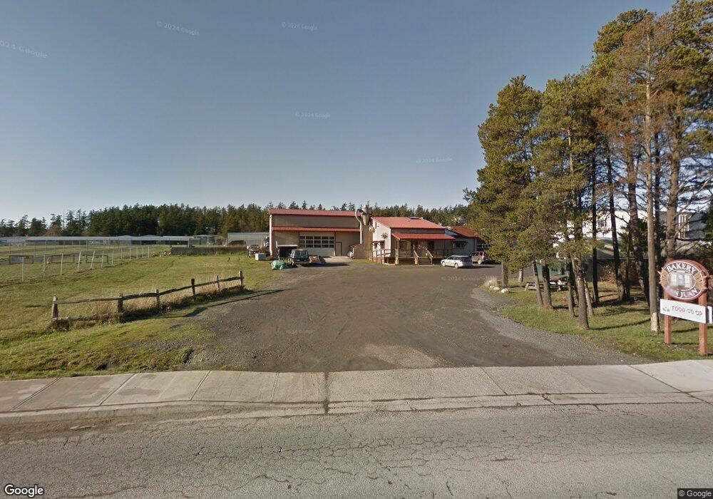
775 Mullis St Friday Harbor, WA 98250
Estimated Value: $1,638,525
--
Bed
--
Bath
7,723
Sq Ft
$212/Sq Ft
Est. Value
About This Home
This home is located at 775 Mullis St, Friday Harbor, WA 98250 and is currently estimated at $1,638,525, approximately $212 per square foot. 775 Mullis St is a home located in San Juan County with nearby schools including Friday Harbor Elementary School, Friday Harbor Middle School, and Friday Harbor High School.
Ownership History
Date
Name
Owned For
Owner Type
Purchase Details
Closed on
Mar 14, 2025
Sold by
Sheppard Mark S
Bought by
Mullis Commercial Property Llc
Current Estimated Value
Purchase Details
Closed on
Jan 9, 2006
Sold by
Kitchell Jane
Bought by
Sheppard Mark S
Create a Home Valuation Report for This Property
The Home Valuation Report is an in-depth analysis detailing your home's value as well as a comparison with similar homes in the area
Home Values in the Area
Average Home Value in this Area
Purchase History
| Date | Buyer | Sale Price | Title Company |
|---|---|---|---|
| Mullis Commercial Property Llc | -- | None Listed On Document | |
| Sheppard Mark S | -- | None Available |
Source: Public Records
Tax History Compared to Growth
Tax History
| Year | Tax Paid | Tax Assessment Tax Assessment Total Assessment is a certain percentage of the fair market value that is determined by local assessors to be the total taxable value of land and additions on the property. | Land | Improvement |
|---|---|---|---|---|
| 2024 | $5,594 | $1,379,220 | $619,190 | $760,030 |
| 2023 | $5,594 | $959,490 | $442,280 | $517,210 |
| 2022 | $6,621 | $959,490 | $442,280 | $517,210 |
| 2021 | $6,400 | $919,160 | $353,820 | $565,340 |
| 2020 | $6,527 | $919,160 | $353,820 | $565,340 |
| 2019 | $6,520 | $919,160 | $353,820 | $565,340 |
| 2018 | $6,116 | $1,484,500 | $919,160 | $565,340 |
| 2017 | $4,124 | $791,440 | $353,820 | $437,620 |
| 2016 | $5,084 | $567,310 | $196,450 | $370,860 |
| 2015 | $5,084 | $533,490 | $152,870 | $380,620 |
| 2014 | $5,084 | $456,150 | $138,970 | $317,180 |
| 2012 | $5,084 | $694,590 | $342,170 | $352,420 |
Source: Public Records
Map
Nearby Homes
- 480 Rose Ln
- 365 Marguerite Place S
- 625 Argyle Ave Unit D
- 311 Price St
- 385 Marguerite Place
- 470 Reed St Unit D
- 470 Reed St Unit 2
- 248 Browne St
- 232 A St Unit R4
- 1012 Park St
- 250 Tucker Ave Unit 38
- 250 Tucker Ave Unit 3
- 542 Jensen Alley
- 959 Guard St Unit A
- 530 Jensen Alley
- 200 East St Unit D304
- 1208 Argyle Ave
- 0 Cattle Point Rd Unit NWM2401821
- 735 Harbor St
- 241 Warbass Way Unit A303
- 777 A/B Mullis St
- 777 Mullis St
- 777 Mullis St Unit A/B
- 777 Mullis St Unit A/B
- 665 Mullis St Unit B
- 665 Mullis St
- 669 Mullis St
- 774 Mullis St
- 27 Airport Circle Dr Unit K6A
- 535 Market St
- 655 Mullis St
- 550 Hemlock Ct
- 699 Airport Circle Dr
- 540 Hemlock Ct
- 555 Hemlock Ct
- 605 Mullis St
- 818 Mullis St
- 701 Spring St
- 530 Hemlock Ct
- 545 Hemlock Ct