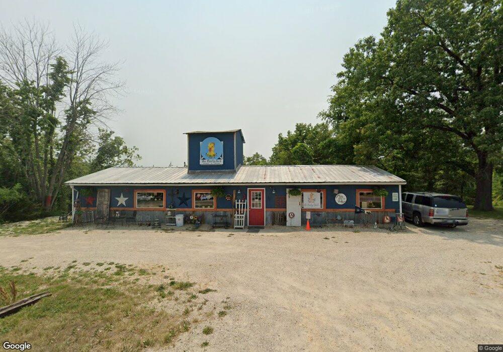
775 S Business Route 5 Camdenton, MO 65020
Estimated Value: $105,430
--
Bed
--
Bath
1,500
Sq Ft
$70/Sq Ft
Est. Value
About This Home
This home is located at 775 S Business Route 5, Camdenton, MO 65020 and is currently priced at $105,430, approximately $70 per square foot. 775 S Business Route 5 is a home located in Camden County with nearby schools including Camdenton High School and Show-ME Christian Youth Home.
Ownership History
Date
Name
Owned For
Owner Type
Purchase Details
Closed on
Aug 1, 2025
Sold by
Bennett Carl G and Bennett Nicole M
Bought by
Barzso Frank
Current Estimated Value
Home Financials for this Owner
Home Financials are based on the most recent Mortgage that was taken out on this home.
Original Mortgage
$203,445
Outstanding Balance
$203,267
Interest Rate
6.67%
Mortgage Type
Credit Line Revolving
Estimated Equity
-$97,837
Purchase Details
Closed on
Sep 2, 2021
Sold by
Tera-By Co Llc
Bought by
Bennett Nichole M and Bennett Carl G
Purchase Details
Closed on
Dec 1, 1996
Bought by
Tera By Company Llc
Create a Home Valuation Report for This Property
The Home Valuation Report is an in-depth analysis detailing your home's value as well as a comparison with similar homes in the area
Home Values in the Area
Average Home Value in this Area
Purchase History
| Date | Buyer | Sale Price | Title Company |
|---|---|---|---|
| Barzso Frank | -- | Alliance Title Company | |
| Barzso Frank | -- | Alliance Title Company | |
| Bennett Nichole M | -- | Great American Title | |
| Tera By Company Llc | -- | -- |
Source: Public Records
Mortgage History
| Date | Status | Borrower | Loan Amount |
|---|---|---|---|
| Open | Barzso Frank | $203,445 |
Source: Public Records
Tax History Compared to Growth
Tax History
| Year | Tax Paid | Tax Assessment Tax Assessment Total Assessment is a certain percentage of the fair market value that is determined by local assessors to be the total taxable value of land and additions on the property. | Land | Improvement |
|---|---|---|---|---|
| 2024 | $661 | $17,450 | $0 | $0 |
| 2023 | $666 | $17,450 | $0 | $0 |
| 2022 | $651 | $17,450 | $0 | $0 |
| 2021 | $650 | $17,440 | $0 | $0 |
| 2020 | $650 | $17,440 | $0 | $0 |
| 2019 | $650 | $17,440 | $0 | $0 |
| 2018 | $650 | $17,440 | $0 | $0 |
| 2017 | $650 | $17,440 | $0 | $0 |
| 2016 | $632 | $17,440 | $0 | $0 |
| 2015 | $627 | $17,440 | $0 | $0 |
| 2014 | $632 | $17,440 | $0 | $0 |
| 2013 | -- | $17,440 | $0 | $0 |
Source: Public Records
Map
Nearby Homes
- 145 Broadway Ave
- 1.93 Acres S Business Route 5
- 26 Silver Spur Ct
- 20 Silver Spur Ct
- 19 Silver Spur Ct
- 477 Rodeo Rd
- 112 Township Rd
- 368 Westwood Dr
- Tbd Sunset Shores Ln
- Tbd Bayberry Ln
- 133 Ha Tonka Rd
- 50 Hazel St
- 83 Oak Tree Rd
- 15 Delores St
- 103 Primrose Ln
- 71 Sesame St
- 278 Panoramic Dr
- 135 Primrose Ln
- 424 Panoramic Dr
- 0 Vista Place
- 774 S Business Route 5
- 826 S Business Highway 5
- 740 S Business Route 5
- 828 S Business Highway 5
- 826 S Business Route 5
- 36 Jackson St
- 36 Jackson St
- 691 S Business Route 5
- 63 Vfw Rd
- 63 V F Rd W
- 918 S Business Route 5
- 926 S Business Route 5
- 160 Broadway Ave
- 160 Broadway Ave Unit Lot 4
- 110 Broadway Ave
- 144 Broadway Ave
- 641 Rte 5
- 124 Broadway Ave
- 634 S Business Route 5
- 76 Broadway Ave