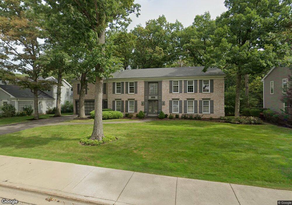
775 Smoke Tree Rd Deerfield, IL 60015
Briarwood NeighborhoodEstimated Value: $766,000 - $1,157,000
--
Bed
4
Baths
3,412
Sq Ft
$277/Sq Ft
Est. Value
About This Home
This home is located at 775 Smoke Tree Rd, Deerfield, IL 60015 and is currently estimated at $946,241, approximately $277 per square foot. 775 Smoke Tree Rd is a home located in Lake County with nearby schools including Kipling Elementary School, Alan B Shepard Middle School, and Deerfield High School.
Ownership History
Date
Name
Owned For
Owner Type
Purchase Details
Closed on
Jul 27, 1998
Sold by
Portnoy Harold and Portnoy Esteen A
Bought by
Portnoy Esteen A and Esteen A Portnoy Revocable Tru
Current Estimated Value
Purchase Details
Closed on
Apr 11, 1995
Sold by
Portnoy Harold and Portnoy Esteen A
Bought by
Portnoy Harold and Portnoy Esteen A
Create a Home Valuation Report for This Property
The Home Valuation Report is an in-depth analysis detailing your home's value as well as a comparison with similar homes in the area
Home Values in the Area
Average Home Value in this Area
Purchase History
| Date | Buyer | Sale Price | Title Company |
|---|---|---|---|
| Portnoy Esteen A | -- | -- | |
| Portnoy Harold | -- | -- |
Source: Public Records
Tax History Compared to Growth
Tax History
| Year | Tax Paid | Tax Assessment Tax Assessment Total Assessment is a certain percentage of the fair market value that is determined by local assessors to be the total taxable value of land and additions on the property. | Land | Improvement |
|---|---|---|---|---|
| 2024 | $10,939 | $235,496 | $71,541 | $163,955 |
| 2023 | $19,921 | $212,273 | $64,486 | $147,787 |
| 2022 | $19,921 | $221,021 | $70,842 | $150,179 |
| 2021 | $11,297 | $213,650 | $68,479 | $145,171 |
| 2020 | $10,829 | $213,650 | $68,479 | $145,171 |
| 2019 | $10,458 | $212,651 | $68,159 | $144,492 |
| 2018 | $10,186 | $221,091 | $74,625 | $146,466 |
| 2017 | $10,120 | $219,816 | $74,195 | $145,621 |
| 2016 | $10,245 | $209,269 | $70,635 | $138,634 |
| 2015 | $10,678 | $194,434 | $65,628 | $128,806 |
| 2014 | $10,869 | $180,125 | $78,749 | $101,376 |
| 2012 | $10,227 | $181,175 | $79,208 | $101,967 |
Source: Public Records
Map
Nearby Homes
- 850 Evergreen Way
- 810 Virginia Rd
- 805 Brand Ln
- 717 Brierhill Rd
- 1816 Rosemary Rd
- 1075 Heather Rd
- 666 Barberry Rd
- 1039 Deerfield Place Unit 1039
- 1490 Avignon Ct
- 513 Sumac Rd
- 95 Greenbriar Dr E
- 757 Kipling Place
- 860 Kenton Rd
- 1381 Sunnyside Ave
- 505 Margate Terrace
- 75 Eastwood Dr
- 1127 Kenton Rd
- 49 Larkdale Rd
- 1263 Carlisle Place
- 1672 Huntington Ln
- 785 Smoke Tree Rd
- 755 Smoke Tree Rd
- 780 Smoke Tree Rd
- 745 Smoke Tree Rd
- 760 Smoke Tree Rd
- 790 Smoke Tree Rd
- 815 Smoke Tree Rd
- 750 Smoke Tree Rd
- 735 Smoke Tree Rd
- 814 Smoke Tree Rd
- 1899 Edgewood Rd
- 740 Smoke Tree Rd
- 777 Fox Hunt Trail
- 783 Fox Hunt Trail
- 827 Smoke Tree Rd
- 763 Fox Hunt Trail
- 795 Fox Hunt Trail
- 1887 Edgewood Rd
- 826 Smoke Tree Rd
- 725 Smoke Tree Rd