775 State Route 541 Coshocton, OH 43812
Estimated Value: $175,000 - $248,000
3
Beds
2
Baths
1,562
Sq Ft
$139/Sq Ft
Est. Value
About This Home
This home is located at 775 State Route 541, Coshocton, OH 43812 and is currently estimated at $217,326, approximately $139 per square foot. 775 State Route 541 is a home located in Coshocton County with nearby schools including River View High School, Coshocton Opportunity School, and Sacred Heart School.
Ownership History
Date
Name
Owned For
Owner Type
Purchase Details
Closed on
Sep 30, 2020
Sold by
Strongosky Chris and Strongosky Christine J
Bought by
Walsh Randy L and Walsh Dana M
Current Estimated Value
Home Financials for this Owner
Home Financials are based on the most recent Mortgage that was taken out on this home.
Original Mortgage
$113,000
Outstanding Balance
$100,507
Interest Rate
2.9%
Mortgage Type
Commercial
Estimated Equity
$116,819
Purchase Details
Closed on
Dec 10, 2007
Sold by
Jones James P and Jones Ednamae
Bought by
Stongosky Chris and Strongosky Christine J
Purchase Details
Closed on
Sep 2, 2003
Sold by
Supples Samuel Scott
Bought by
Jones James P Jlrs
Purchase Details
Closed on
Oct 4, 2000
Sold by
Supples Samuel Scott
Bought by
Supples Samuel Scott
Purchase Details
Closed on
Apr 1, 1987
Create a Home Valuation Report for This Property
The Home Valuation Report is an in-depth analysis detailing your home's value as well as a comparison with similar homes in the area
Home Values in the Area
Average Home Value in this Area
Purchase History
| Date | Buyer | Sale Price | Title Company |
|---|---|---|---|
| Walsh Randy L | $112,000 | None Available | |
| Stongosky Chris | $34,500 | None Available | |
| Jones James P Jlrs | $135,000 | -- | |
| Supples Samuel Scott | $102,000 | -- | |
| -- | $64,000 | -- |
Source: Public Records
Mortgage History
| Date | Status | Borrower | Loan Amount |
|---|---|---|---|
| Open | Walsh Randy L | $113,000 |
Source: Public Records
Tax History Compared to Growth
Tax History
| Year | Tax Paid | Tax Assessment Tax Assessment Total Assessment is a certain percentage of the fair market value that is determined by local assessors to be the total taxable value of land and additions on the property. | Land | Improvement |
|---|---|---|---|---|
| 2024 | $2,001 | $58,110 | $15,500 | $42,610 |
| 2023 | $2,001 | $44,262 | $10,371 | $33,891 |
| 2022 | $1,635 | $44,262 | $10,371 | $33,891 |
| 2021 | $1,635 | $44,262 | $10,371 | $33,891 |
| 2020 | $2,089 | $56,459 | $10,392 | $46,067 |
| 2019 | $2,137 | $56,459 | $10,392 | $46,067 |
| 2018 | $2,070 | $56,459 | $10,392 | $46,067 |
| 2017 | $1,849 | $49,585 | $9,261 | $40,324 |
| 2016 | $1,749 | $49,585 | $9,261 | $40,324 |
| 2015 | $1,710 | $49,585 | $9,261 | $40,324 |
| 2014 | $1,710 | $48,815 | $8,547 | $40,268 |
Source: Public Records
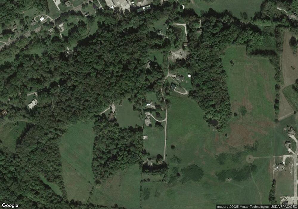
Map
Nearby Homes
- 771 State Route 541
- 300 Hillsdale Dr
- 46418 County Road 501
- 0 Ohio 83
- 14405 Ohio 83
- 21569 State Route 16
- 481 Hill St
- 518 Hill St
- 46034 State Route 541
- 595 Hydraulic Ave
- 73 Retilly Dr
- 0 Retilly Dr Unit Lot 4790 225015414
- 0 Retilly Dr Unit Lot 4791 225015416
- 0 Retilly Dr Unit 20250289
- 0 Retilly Dr Unit Lot 4786 225015407
- 0 Retilly Dr Unit Lot4783 225015396
- 0 Retilly Dr Unit 5161720
- 0 Retilly Dr Unit 20250287
- 0 Retilly Dr Unit Lot 4793 225015422
- 0 Retilly Dr Unit 20250290
- 781 State Route 541
- 761 State Route 541
- 767 State Route 541
- 757 State Route 541
- 913 State Route 541
- 793 State Route 541
- 747 State Route 541
- 745 State Route 541
- 741 State Route 541
- 1009 State Route 541
- 1009 State Route 541
- 719 State Route 541
- 967 State Route 541
- 931 State Route 541
- 865 State Route 541
- 46449 County Road 501
- 1001 State Route 541
- 1015 State Route 541
- 999 State Route 541
- 938 State Route 541