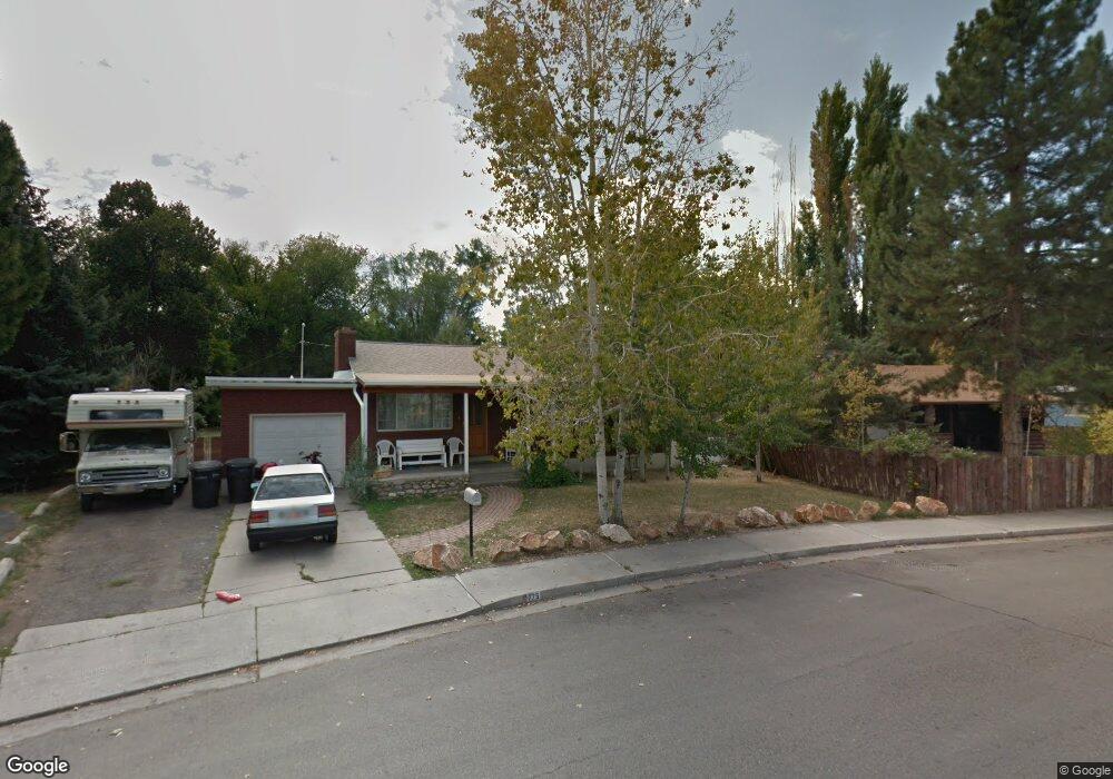
775 W 1020 N Provo, UT 84604
Rivergrove NeighborhoodEstimated Value: $431,000 - $558,000
5
Beds
2
Baths
1,974
Sq Ft
$247/Sq Ft
Est. Value
About This Home
This home is located at 775 W 1020 N, Provo, UT 84604 and is currently estimated at $487,084, approximately $246 per square foot. 775 W 1020 N is a home located in Utah County with nearby schools including Westridge Elementary School, Dixon Middle School, and Provo High School.
Ownership History
Date
Name
Owned For
Owner Type
Purchase Details
Closed on
Apr 25, 2001
Sold by
Thurber Karl G and Thurber Viola L
Bought by
Frey Harold and Frey Mary
Current Estimated Value
Home Financials for this Owner
Home Financials are based on the most recent Mortgage that was taken out on this home.
Original Mortgage
$149,000
Outstanding Balance
$55,430
Interest Rate
6.98%
Mortgage Type
Seller Take Back
Estimated Equity
$431,654
Purchase Details
Closed on
Jun 30, 1999
Sold by
Comollo Adriano F and Comollo Jerrilyn M
Bought by
Thurber Karl G and Thurber Viola L
Home Financials for this Owner
Home Financials are based on the most recent Mortgage that was taken out on this home.
Original Mortgage
$108,000
Interest Rate
7.2%
Create a Home Valuation Report for This Property
The Home Valuation Report is an in-depth analysis detailing your home's value as well as a comparison with similar homes in the area
Home Values in the Area
Average Home Value in this Area
Purchase History
| Date | Buyer | Sale Price | Title Company |
|---|---|---|---|
| Frey Harold | -- | First American Title Ins Age | |
| Thurber Karl G | -- | First American Title Ins Co |
Source: Public Records
Mortgage History
| Date | Status | Borrower | Loan Amount |
|---|---|---|---|
| Open | Frey Harold | $149,000 | |
| Previous Owner | Thurber Karl G | $108,000 |
Source: Public Records
Tax History Compared to Growth
Tax History
| Year | Tax Paid | Tax Assessment Tax Assessment Total Assessment is a certain percentage of the fair market value that is determined by local assessors to be the total taxable value of land and additions on the property. | Land | Improvement |
|---|---|---|---|---|
| 2025 | $2,451 | $259,490 | $211,400 | $260,400 |
| 2024 | $2,451 | $241,230 | $0 | $0 |
| 2023 | $2,484 | $241,010 | $0 | $0 |
| 2022 | $2,544 | $248,875 | $0 | $0 |
| 2021 | $1,901 | $324,400 | $134,100 | $190,300 |
| 2020 | $1,843 | $294,900 | $121,900 | $173,000 |
| 2019 | $1,759 | $292,700 | $121,900 | $170,800 |
| 2018 | $1,567 | $264,400 | $112,900 | $151,500 |
| 2017 | $1,397 | $129,525 | $0 | $0 |
| 2016 | $1,334 | $115,280 | $0 | $0 |
| 2015 | $1,182 | $103,290 | $0 | $0 |
| 2014 | $1,075 | $97,845 | $0 | $0 |
Source: Public Records
Map
Nearby Homes