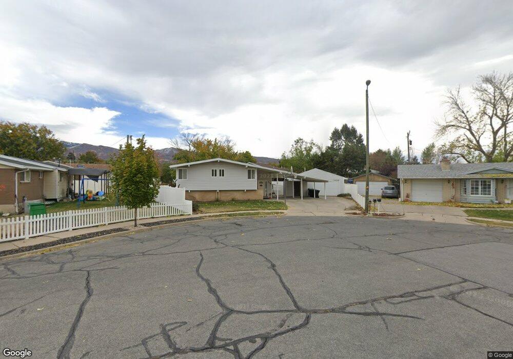
775 W 925 S Woods Cross, UT 84087
Estimated Value: $427,000 - $469,758
2
Beds
1
Bath
1,022
Sq Ft
$439/Sq Ft
Est. Value
About This Home
This home is located at 775 W 925 S, Woods Cross, UT 84087 and is currently estimated at $448,690, approximately $439 per square foot. 775 W 925 S is a home located in Davis County with nearby schools including Woods Cross Elementary School, Millcreek Junior High School, and Woods Cross High School.
Ownership History
Date
Name
Owned For
Owner Type
Purchase Details
Closed on
Jul 11, 1997
Sold by
Hud
Bought by
Page Brad H and Page Jennifer N
Current Estimated Value
Home Financials for this Owner
Home Financials are based on the most recent Mortgage that was taken out on this home.
Original Mortgage
$92,025
Outstanding Balance
$13,112
Interest Rate
7.93%
Mortgage Type
FHA
Estimated Equity
$435,578
Purchase Details
Closed on
Apr 11, 1997
Sold by
Norwest Mtg Inc
Bought by
Hud
Create a Home Valuation Report for This Property
The Home Valuation Report is an in-depth analysis detailing your home's value as well as a comparison with similar homes in the area
Home Values in the Area
Average Home Value in this Area
Purchase History
| Date | Buyer | Sale Price | Title Company |
|---|---|---|---|
| Page Brad H | -- | U S Title | |
| Hud | -- | Backman Stewart Title Servic |
Source: Public Records
Mortgage History
| Date | Status | Borrower | Loan Amount |
|---|---|---|---|
| Open | Page Brad H | $92,025 |
Source: Public Records
Tax History Compared to Growth
Tax History
| Year | Tax Paid | Tax Assessment Tax Assessment Total Assessment is a certain percentage of the fair market value that is determined by local assessors to be the total taxable value of land and additions on the property. | Land | Improvement |
|---|---|---|---|---|
| 2025 | $2,575 | $216,700 | $122,373 | $94,327 |
| 2024 | $2,500 | $216,700 | $131,528 | $85,172 |
| 2023 | $2,374 | $384,000 | $175,165 | $208,835 |
| 2022 | $2,277 | $204,050 | $76,073 | $127,977 |
| 2021 | $2,013 | $286,000 | $112,035 | $173,965 |
| 2020 | $1,812 | $254,000 | $106,760 | $147,240 |
| 2019 | $1,812 | $251,000 | $99,161 | $151,839 |
| 2018 | $1,669 | $229,000 | $97,417 | $131,583 |
| 2016 | $1,362 | $102,630 | $42,811 | $59,819 |
| 2015 | $1,294 | $94,490 | $42,811 | $51,679 |
| 2014 | $1,082 | $81,189 | $42,811 | $38,378 |
| 2013 | -- | $86,033 | $26,503 | $59,530 |
Source: Public Records
Map
Nearby Homes
- 758 W 1000 S
- 743 W 1000 S
- 730 W 1400 S
- 1289 S 675 W
- 553 Clark St
- 990 S 500 W
- 1552 S 850 W
- 1137 S 1050 W
- 1623 S 925 W
- 1056 W Audrey Ln Unit 14
- 1288 S 1050 W
- 1064 W Audrey Ln Unit 15
- 1067 W Audrey Ln Unit 8
- 1069 W Linden Ln Unit 31
- 1602 S 550 W
- 680 W 500 S Unit 22
- 680 W 500 S Unit 17
- 1072 W Audrey Ln Unit 17
- 1075 W Audrey Ln Unit 6
- 770 W 1900 S