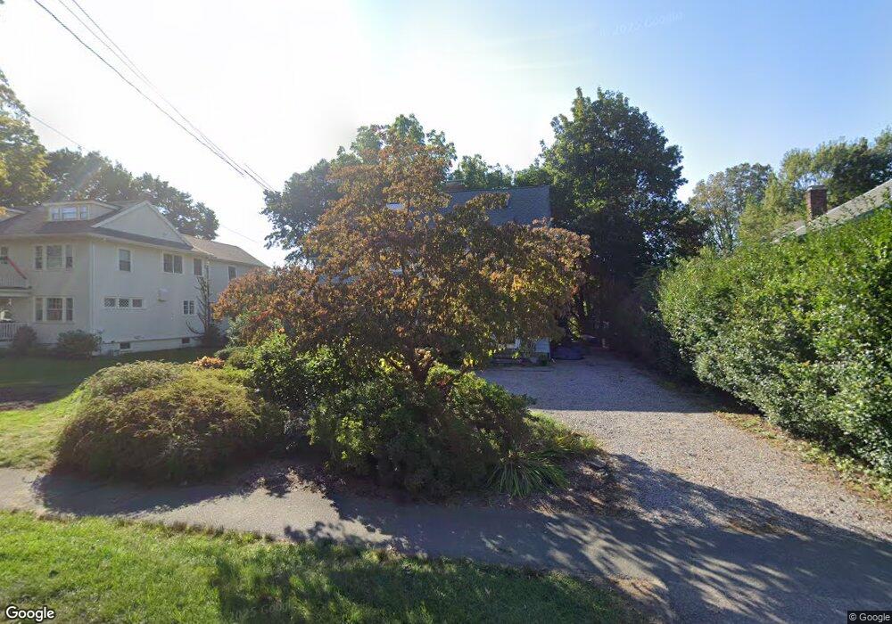
775 Webster St Needham, MA 02492
Estimated Value: $1,198,000 - $1,816,000
4
Beds
3
Baths
932
Sq Ft
$1,615/Sq Ft
Est. Value
About This Home
This home is located at 775 Webster St, Needham, MA 02492 and is currently estimated at $1,505,316, approximately $1,615 per square foot. 775 Webster St is a home located in Norfolk County with nearby schools including High Rock Middle School, Sunita L. Williams Elementary School, and Pollard Middle School.
Ownership History
Date
Name
Owned For
Owner Type
Purchase Details
Closed on
Sep 8, 1980
Bought by
Robinson Stephen M and Bloom Claire
Current Estimated Value
Create a Home Valuation Report for This Property
The Home Valuation Report is an in-depth analysis detailing your home's value as well as a comparison with similar homes in the area
Home Values in the Area
Average Home Value in this Area
Purchase History
| Date | Buyer | Sale Price | Title Company |
|---|---|---|---|
| Robinson Stephen M | $82,000 | -- |
Source: Public Records
Mortgage History
| Date | Status | Borrower | Loan Amount |
|---|---|---|---|
| Open | Robinson Stephen M | $265,568 | |
| Closed | Robinson Stephen M | $97,500 | |
| Closed | Robinson Stephen M | $333,000 |
Source: Public Records
Tax History
| Year | Tax Paid | Tax Assessment Tax Assessment Total Assessment is a certain percentage of the fair market value that is determined by local assessors to be the total taxable value of land and additions on the property. | Land | Improvement |
|---|---|---|---|---|
| 2025 | $14,303 | $1,349,300 | $1,011,100 | $338,200 |
| 2024 | $12,874 | $1,028,300 | $653,000 | $375,300 |
| 2023 | $13,028 | $999,100 | $653,000 | $346,100 |
| 2022 | $12,451 | $931,300 | $599,800 | $331,500 |
| 2021 | $12,135 | $931,300 | $599,800 | $331,500 |
| 2020 | $11,392 | $912,100 | $599,800 | $312,300 |
| 2019 | $10,582 | $854,100 | $546,000 | $308,100 |
| 2018 | $10,147 | $854,100 | $546,000 | $308,100 |
| 2017 | $9,689 | $814,900 | $546,000 | $268,900 |
| 2016 | $9,439 | $817,900 | $546,000 | $271,900 |
| 2015 | $9,234 | $817,900 | $546,000 | $271,900 |
| 2014 | $8,814 | $757,200 | $493,300 | $263,900 |
Source: Public Records
Map
Nearby Homes
- 36 Otis St Unit 36
- 100 Bradford St
- 638 Webster St
- 638 Webster St Unit 638
- 19 Oakland Ave Unit 19
- 19 Highland Ct Unit 19
- 233 Warren St
- 193 Garden St
- 68 Pleasant St Unit 68
- 971 Webster St
- 1011 Webster St
- 73 Maple St Unit 1
- 126 Prince St
- 60 Sutton Rd
- 190 Brookline St
- 90 Norfolk St
- 510 Webster St
- 31 Birds Hill Ave
- 58 Morton St
- 176 Highgate St
- 783 Webster St
- 769 Webster St
- 763 Webster St
- 96 Fair Oaks Park
- 789 Webster St
- 102 Fair Oaks Park
- 90 Fair Oaks Park
- 793 Great Plain Ave
- 776 Webster St
- 780 Webster St
- 807 Great Plain Ave
- 84 Fair Oaks Park
- 757 Webster St
- 75 Otis St
- 786 Webster St
- 118 Fair Oaks Park
- 811 Great Plain Ave
- 762 Webster St
- 781 Great Plain Ave
- 76 Fair Oaks Park
Your Personal Tour Guide
Ask me questions while you tour the home.