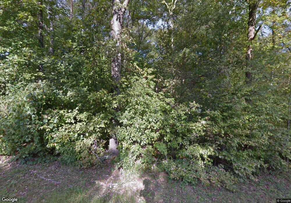
7750 Anthony Rd Kernersville, NC 27284
Estimated Value: $491,000 - $529,000
3
Beds
2
Baths
2,250
Sq Ft
$227/Sq Ft
Est. Value
About This Home
This home is located at 7750 Anthony Rd, Kernersville, NC 27284 and is currently estimated at $510,083, approximately $226 per square foot. 7750 Anthony Rd is a home located in Guilford County with nearby schools including Stokesdale Elementary School, Northwest Guilford Middle School, and Northwest Guilford High School.
Ownership History
Date
Name
Owned For
Owner Type
Purchase Details
Closed on
Dec 30, 2002
Sold by
Smith Broadstreet Bruce Eric and Smith Broadstreet Karen
Bought by
Pullen William R and Pullen Kathy Elaine
Current Estimated Value
Home Financials for this Owner
Home Financials are based on the most recent Mortgage that was taken out on this home.
Original Mortgage
$185,600
Outstanding Balance
$78,602
Interest Rate
5.92%
Estimated Equity
$431,481
Create a Home Valuation Report for This Property
The Home Valuation Report is an in-depth analysis detailing your home's value as well as a comparison with similar homes in the area
Home Values in the Area
Average Home Value in this Area
Purchase History
| Date | Buyer | Sale Price | Title Company |
|---|---|---|---|
| Pullen William R | $232,000 | -- |
Source: Public Records
Mortgage History
| Date | Status | Borrower | Loan Amount |
|---|---|---|---|
| Open | Pullen William R | $185,600 | |
| Closed | Pullen William R | $23,200 |
Source: Public Records
Tax History Compared to Growth
Tax History
| Year | Tax Paid | Tax Assessment Tax Assessment Total Assessment is a certain percentage of the fair market value that is determined by local assessors to be the total taxable value of land and additions on the property. | Land | Improvement |
|---|---|---|---|---|
| 2025 | $2,641 | $308,700 | $117,900 | $190,800 |
| 2024 | $2,641 | $308,700 | $117,900 | $190,800 |
| 2023 | $2,641 | $308,700 | $117,900 | $190,800 |
| 2022 | $2,564 | $308,700 | $117,900 | $190,800 |
| 2021 | $2,029 | $244,300 | $78,400 | $165,900 |
| 2020 | $2,029 | $244,300 | $78,400 | $165,900 |
| 2019 | $2,029 | $244,300 | $0 | $0 |
| 2018 | $2,019 | $244,300 | $0 | $0 |
| 2017 | $2,019 | $244,300 | $0 | $0 |
| 2016 | $2,044 | $239,100 | $0 | $0 |
| 2015 | $2,056 | $239,100 | $0 | $0 |
| 2014 | $2,080 | $239,100 | $0 | $0 |
Source: Public Records
Map
Nearby Homes
- 9211 US Highway 158
- 8109 Odin Ct
- 2001 Dock Ridge Dr
- 8840 Belews Ridge Rd
- 8295 Branson Rd
- 2019 Dock Ridge Dr
- Holden 2 Plan at Belews Ridge - Single Family Homes
- Redbud Plan at Belews Ridge - Single Family Homes
- Trillium Plan at Belews Ridge - Single Family Homes
- Dogwood Plan at Belews Ridge - Single Family Homes
- Bellwood Plan at Belews Ridge - Single Family Homes
- Jessamine Plan at Belews Ridge - Single Family Homes
- 7968 Boathouse Way
- 7963 Boathouse Way
- 7629 Monty Dr
- 6505 Heron Point Ct
- 7962 Boathouse Way
- 7619 Monty Dr
- 8309 Prince Edward Rd
- 8810 Rudy Dr
- 7748 Anthony Rd
- 7803 Anthony Rd
- 7807 Anthony Rd
- 7747 Anthony Rd
- 7809 Anthony Rd
- 7800 Anthony Rd
- 7799 Pearman Quarry Rd
- 7813 Anthony Rd
- 7744 Anthony Rd
- 7830 Anthony Rd
- 7736 Anthony Rd
- 9159 Us Highway 158
- 9157 Us Highway 158
- 9157 Us Highway 158
- 9167 Us Highway 158
- 9153 Us Highway 158
- 9149 Us Highway 158
- 9152 Us Highway 158
- 9160 Us Highway 158
- 9200 Us Highway 158
