7751 Ravenswood Rd Wales, MI 48027
Wales Township NeighborhoodEstimated Value: $304,000 - $412,995
2
Beds
2
Baths
1,116
Sq Ft
$317/Sq Ft
Est. Value
About This Home
This home is located at 7751 Ravenswood Rd, Wales, MI 48027 and is currently estimated at $353,332, approximately $316 per square foot. 7751 Ravenswood Rd is a home with nearby schools including Memphis Elementary School and Memphis Junior/Senior High School.
Ownership History
Date
Name
Owned For
Owner Type
Purchase Details
Closed on
Oct 13, 2020
Sold by
Kane Gary A
Bought by
Kane Tonya
Current Estimated Value
Purchase Details
Closed on
Feb 21, 2005
Sold by
Kane Eleanor F and Kane David Thomas
Bought by
Eleanor F Kane Revocable Trust
Create a Home Valuation Report for This Property
The Home Valuation Report is an in-depth analysis detailing your home's value as well as a comparison with similar homes in the area
Home Values in the Area
Average Home Value in this Area
Purchase History
| Date | Buyer | Sale Price | Title Company |
|---|---|---|---|
| Kane Tonya | -- | Kane Gary A | |
| Kane Tonya | -- | None Listed On Document | |
| Kane Gary A | -- | Kane Gary A | |
| Kane Gary A | -- | None Listed On Document | |
| Eleanor F Kane Revocable Trust | -- | None Available |
Source: Public Records
Tax History Compared to Growth
Tax History
| Year | Tax Paid | Tax Assessment Tax Assessment Total Assessment is a certain percentage of the fair market value that is determined by local assessors to be the total taxable value of land and additions on the property. | Land | Improvement |
|---|---|---|---|---|
| 2025 | $3,799 | $202,000 | $0 | $0 |
| 2024 | $2,322 | $184,900 | $0 | $0 |
| 2023 | $2,212 | $172,400 | $0 | $0 |
| 2022 | $3,560 | $171,100 | $0 | $0 |
| 2021 | $4,223 | $115,400 | $0 | $0 |
| 2020 | $4,223 | $116,800 | $55,100 | $61,700 |
| 2019 | $4,144 | $97,300 | $0 | $0 |
| 2018 | $4,063 | $97,300 | $0 | $0 |
| 2017 | $3,997 | $102,300 | $0 | $0 |
| 2016 | $1,053 | $102,300 | $0 | $0 |
| 2015 | -- | $108,400 | $56,300 | $52,100 |
| 2014 | -- | $109,700 | $56,300 | $53,400 |
| 2013 | -- | $93,600 | $0 | $0 |
Source: Public Records
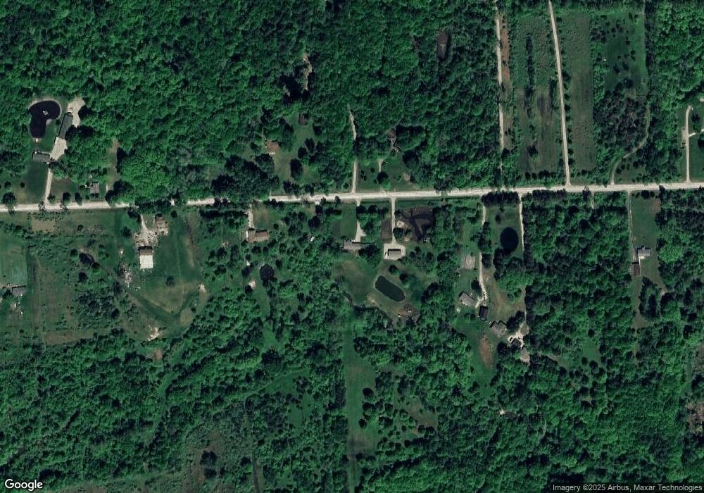
Map
Nearby Homes
- VL Lambs Rd
- 8067 Lambs Rd
- 8237 Lambs Rd
- 355 Henry St
- 1533 Richman Rd
- 6928 Smiths Creek Rd
- 1900 Burns Rd
- 8840 Marquette Rd
- 1261 Sturdevant Rd
- 1688 Sturdevant Rd
- 1371 Sturdevant Rd
- 0 Sparling Unit 20230091288
- 7710 Sparling Rd
- 6417 Dove Rd
- 0 Sparling Rd Unit 2210034403
- 8980 Yager Rd
- 1971 Hyde Park Rd
- 00 Sparling Rd
- 1671 Ditty Rd
- 2906 Castor Rd
- 7699 Ravenswood Rd
- 7685 Ravenswood Rd
- 7730 Ravenswood Rd
- 7789 Ravenswood Rd
- 7788 Ravenswood Rd Unit 7838
- 7788 Ravenswood Rd
- 7815 Ravenswood Rd
- 7815 Ravenswood Rd
- 7695 Ravenswood Rd
- 7838 Ravenswood Rd
- 7742 Ravenswood Rd
- 7700 Ravenswood Rd
- 7862 Ravenswood Rd
- 7575 Ravenswood Rd
- 7875 Ravenswood Rd
- 7588 Ravenswood Rd
- 7555 Ravenswood Rd
- 7555 Ravenswood Rd
- 7555 Ravenswood Rd
- 7560 Ravenswood Rd