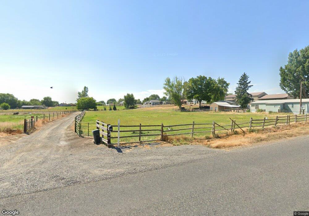
77524 S Edwards Rd Stanfield, OR 97875
Estimated Value: $380,000 - $574,000
4
Beds
2
Baths
4,292
Sq Ft
$111/Sq Ft
Est. Value
About This Home
This home is located at 77524 S Edwards Rd, Stanfield, OR 97875 and is currently estimated at $477,000, approximately $111 per square foot. 77524 S Edwards Rd is a home with nearby schools including Stanfield Elementary School and Stanfield Secondary School.
Ownership History
Date
Name
Owned For
Owner Type
Purchase Details
Closed on
May 10, 2010
Sold by
Schneider Roger R
Bought by
Schneider Roger R and Schneider Jennifer L
Current Estimated Value
Home Financials for this Owner
Home Financials are based on the most recent Mortgage that was taken out on this home.
Original Mortgage
$262,400
Interest Rate
5.04%
Mortgage Type
Construction
Create a Home Valuation Report for This Property
The Home Valuation Report is an in-depth analysis detailing your home's value as well as a comparison with similar homes in the area
Home Values in the Area
Average Home Value in this Area
Purchase History
| Date | Buyer | Sale Price | Title Company |
|---|---|---|---|
| Schneider Roger R | -- | Pioneer Title Co |
Source: Public Records
Mortgage History
| Date | Status | Borrower | Loan Amount |
|---|---|---|---|
| Closed | Schneider Roger R | $262,400 |
Source: Public Records
Tax History Compared to Growth
Tax History
| Year | Tax Paid | Tax Assessment Tax Assessment Total Assessment is a certain percentage of the fair market value that is determined by local assessors to be the total taxable value of land and additions on the property. | Land | Improvement |
|---|---|---|---|---|
| 2024 | $3,717 | $234,389 | $25,889 | $208,500 |
| 2023 | $3,678 | $227,562 | $25,142 | $202,420 |
| 2022 | $3,471 | $220,937 | $0 | $0 |
| 2021 | $3,445 | $214,503 | $23,693 | $190,810 |
| 2020 | $3,327 | $208,260 | $23,000 | $185,260 |
| 2018 | $3,156 | $196,319 | $21,679 | $174,640 |
| 2017 | $3,056 | $190,610 | $21,050 | $169,560 |
| 2016 | $2,807 | $185,062 | $20,442 | $164,620 |
| 2015 | $2,923 | $169,375 | $18,705 | $150,670 |
| 2014 | $2,645 | $169,375 | $18,705 | $150,670 |
Source: Public Records
Map
Nearby Homes
- 665 Browndell Ln
- 650 Crafton Ln
- 630 Crafton Ln
- 435 NE Sloan St
- 810 N Earl St
- 105 S Earl Ct
- 140 Heather Dr
- 0 Hwy 395 Unit 768426041
- 720 Tinley St
- 825 Tinley St
- 670 Jimmy St
- 660 Jimmy St
- 650 Jimmy St
- 905 Tinley St
- 935 Tinley St
- 405 Hoosier Rd
- 305 Rosalynn Dr
- 0 Stanfield Ave
- 0 Cutter Way Unit 20154522
- 0 Cutter Way Unit 20186835
- 77598 S Edwards Rd
- 77592 S Edwards Rd
- 77588 S Edwards Rd
- 780 Davis Ct
- 77596 S Edwards Rd
- 77608 S Edwards Rd
- 896 N Sloan St
- 760 Castle Place
- 0 Castle Place Unit 12649644
- 900 N Sloan St
- 77644 S Edwards Rd
- 770 Castle Place
- 895 NE Sloan St
- 750 Castle Place
- 890 N Sloan St
- 780 N Howard St
- 780 Castle Place
- 790 Castle Place
- 880 N Sloan St
- 850 Ardith