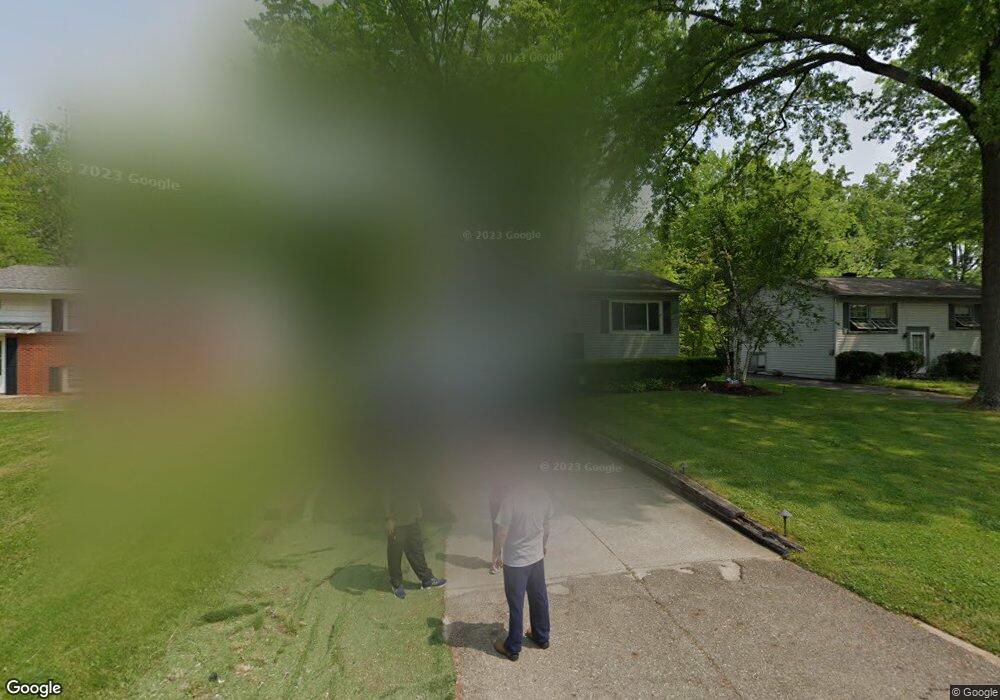
7755 Anderson Ave NE Warren, OH 44484
Estimated Value: $171,000 - $192,000
3
Beds
2
Baths
1,704
Sq Ft
$107/Sq Ft
Est. Value
About This Home
This home is located at 7755 Anderson Ave NE, Warren, OH 44484 and is currently estimated at $182,189, approximately $106 per square foot. 7755 Anderson Ave NE is a home located in Trumbull County with nearby schools including Howland High School, John F. Kennedy Catholic School - Lower Campus, and Holy Trinity Orthodox Christian Academy.
Ownership History
Date
Name
Owned For
Owner Type
Purchase Details
Closed on
Apr 11, 1996
Sold by
Brown Ronald A
Bought by
Toussaint Gary S and Toussaint Dawn R
Current Estimated Value
Home Financials for this Owner
Home Financials are based on the most recent Mortgage that was taken out on this home.
Original Mortgage
$73,000
Outstanding Balance
$3,472
Interest Rate
7.46%
Mortgage Type
New Conventional
Estimated Equity
$178,717
Purchase Details
Closed on
Jan 1, 1990
Bought by
Ronald A Brown
Create a Home Valuation Report for This Property
The Home Valuation Report is an in-depth analysis detailing your home's value as well as a comparison with similar homes in the area
Home Values in the Area
Average Home Value in this Area
Purchase History
| Date | Buyer | Sale Price | Title Company |
|---|---|---|---|
| Toussaint Gary S | $75,300 | -- | |
| Ronald A Brown | -- | -- |
Source: Public Records
Mortgage History
| Date | Status | Borrower | Loan Amount |
|---|---|---|---|
| Open | Toussaint Gary S | $73,000 |
Source: Public Records
Tax History Compared to Growth
Tax History
| Year | Tax Paid | Tax Assessment Tax Assessment Total Assessment is a certain percentage of the fair market value that is determined by local assessors to be the total taxable value of land and additions on the property. | Land | Improvement |
|---|---|---|---|---|
| 2024 | $2,114 | $39,970 | $7,000 | $32,970 |
| 2023 | $2,114 | $39,970 | $7,000 | $32,970 |
| 2022 | $1,828 | $29,090 | $7,000 | $22,090 |
| 2021 | $1,786 | $29,090 | $7,000 | $22,090 |
| 2020 | $1,793 | $29,090 | $7,000 | $22,090 |
| 2019 | $1,654 | $25,410 | $7,000 | $18,410 |
| 2018 | $1,582 | $25,410 | $7,000 | $18,410 |
| 2017 | $1,799 | $25,410 | $7,000 | $18,410 |
| 2016 | $1,544 | $26,810 | $7,000 | $19,810 |
| 2015 | $1,506 | $26,810 | $7,000 | $19,810 |
| 2014 | $1,453 | $26,810 | $7,000 | $19,810 |
| 2013 | $1,842 | $26,810 | $7,000 | $19,810 |
Source: Public Records
Map
Nearby Homes
- 7979 Brookwood St NE
- 7751 Castle Rock Dr NE
- 108 Westwind Dr NE
- 7707 Raglan Dr NE
- 610 Clifton Dr NE
- 660 Rosegarden Dr NE
- 7697 Micawber Rd NE
- 7837 Raglan Dr NE
- 8531 Red Oak Dr NE
- 741 Shady Ln NE
- 8545 Carriage Hill Dr NE
- 0 King Graves Rd NE
- 8528 Deer Creek Ln NE
- 4260 N River Rd NE
- 4167 N River Rd NE
- 8936 Stetson Dr NE
- 8303 E Market St
- 8848 King Graves Rd NE
- 248 Darlington Rd NE
- 106 N Aspen Ct Unit 4
- 7767 Anderson Ave NE
- 7747 Anderson Ave NE
- 7775 Anderson Ave NE
- 7725 Anderson Ave NE
- 7846 Brookwood St NE
- 7785 Anderson Ave NE
- 7826 Brookwood St NE
- 7864 Brookwood St NE
- 7756 Anderson Ave NE
- 7797 Anderson Ave NE
- 7748 Anderson Ave NE
- 7814 Brookwood St NE
- 7715 Anderson Ave NE
- 7736 Anderson Ave NE
- 7776 Anderson Ave NE
- 7720 Anderson Ave NE
- 7786 Anderson Ave NE
- 7809 Anderson Ave NE
- 7802 Brookwood St NE
- 7691 Anderson Ave NE