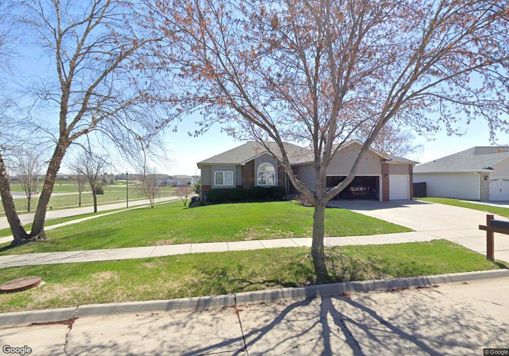
7755 Orourke Dr Lincoln, NE 68516
Estimated Value: $382,873 - $420,000
3
Beds
4
Baths
1,553
Sq Ft
$257/Sq Ft
Est. Value
About This Home
This home is located at 7755 Orourke Dr, Lincoln, NE 68516 and is currently estimated at $399,718, approximately $257 per square foot. 7755 Orourke Dr is a home located in Lancaster County with nearby schools including Cavett Elementary School, Scott Middle School, and Southwest High School.
Ownership History
Date
Name
Owned For
Owner Type
Purchase Details
Closed on
Apr 6, 2001
Sold by
Dellos Kurt
Bought by
Rail Clinton Ronald and Rail Sharon Kay
Current Estimated Value
Home Financials for this Owner
Home Financials are based on the most recent Mortgage that was taken out on this home.
Original Mortgage
$92,000
Outstanding Balance
$33,775
Interest Rate
7.13%
Estimated Equity
$365,943
Purchase Details
Closed on
Sep 14, 2000
Sold by
Summit Homes Llc
Bought by
Dellos Kurt and Dellos Diana
Home Financials for this Owner
Home Financials are based on the most recent Mortgage that was taken out on this home.
Original Mortgage
$161,405
Outstanding Balance
$59,035
Interest Rate
8.15%
Estimated Equity
$340,683
Purchase Details
Closed on
Apr 27, 2000
Sold by
Southview Inc
Bought by
Summit Homes Llc
Home Financials for this Owner
Home Financials are based on the most recent Mortgage that was taken out on this home.
Original Mortgage
$123,000
Interest Rate
8.21%
Create a Home Valuation Report for This Property
The Home Valuation Report is an in-depth analysis detailing your home's value as well as a comparison with similar homes in the area
Home Values in the Area
Average Home Value in this Area
Purchase History
| Date | Buyer | Sale Price | Title Company |
|---|---|---|---|
| Rail Clinton Ronald | $187,000 | -- | |
| Dellos Kurt | $187,000 | -- | |
| Summit Homes Llc | $35,000 | -- |
Source: Public Records
Mortgage History
| Date | Status | Borrower | Loan Amount |
|---|---|---|---|
| Open | Rail Clinton Ronald | $92,000 | |
| Open | Dellos Kurt | $161,405 | |
| Previous Owner | Summit Homes Llc | $123,000 |
Source: Public Records
Tax History Compared to Growth
Tax History
| Year | Tax Paid | Tax Assessment Tax Assessment Total Assessment is a certain percentage of the fair market value that is determined by local assessors to be the total taxable value of land and additions on the property. | Land | Improvement |
|---|---|---|---|---|
| 2025 | $590 | $381,900 | $80,500 | $301,400 |
| 2024 | $590 | $363,700 | $80,500 | $283,200 |
| 2023 | $4,787 | $345,700 | $80,500 | $265,200 |
| 2022 | $5,842 | $293,100 | $55,000 | $238,100 |
| 2021 | $1,917 | $293,100 | $55,000 | $238,100 |
| 2020 | $1,720 | $261,800 | $55,000 | $206,800 |
| 2019 | $1,753 | $261,800 | $55,000 | $206,800 |
| 2018 | $1,988 | $258,100 | $55,000 | $203,100 |
| 2017 | $2,783 | $258,100 | $55,000 | $203,100 |
| 2016 | $2,981 | $239,400 | $45,000 | $194,400 |
| 2015 | $2,641 | $239,400 | $45,000 | $194,400 |
| 2014 | $2,414 | $203,900 | $52,000 | $151,900 |
| 2013 | -- | $203,900 | $52,000 | $151,900 |
Source: Public Records
Map
Nearby Homes
- 7740 O'Rourke Dr
- 8005 Laytonjohn Ln
- 8446 S Tularosa Ct
- 7820 S 26th St
- 7700 S 26th St
- 8100 McKinty Ln
- 7566 S 32nd St
- 3508 Mclaughlin Dr
- 3543 Mclaughlin Dr
- 8903 S 31st St
- 3701 Diablo Dr
- 10225 S 33rd St
- 10301 S 33rd St
- 10310 S 33rd St
- 10323 S 33rd St
- 10235 S 33rd St
- 2549 Wilderness Ridge Cir
- 2525 Wilderness Ridge Cir
- 9040 S 30th St
- 7047 Phoenix Dr
- 7755 O'Rourke Dr
- 7747 O'Rourke Dr
- 7747 Orourke Dr
- 2868 Ohanlon Dr
- 2864 Ohanlon Dr
- 2868 O'Hanlon Dr
- 2864 O'Hanlon Dr
- 7745 Brummond Dr
- 2860 Ohanlon Dr
- 7739 Orourke Dr
- 2860 O'Hanlon Dr
- 7750 Brummond Dr
- 7740 Orourke Dr
- 3055 Oshea Dr
- 2856 O'Hanlon Dr
- 2856 Ohanlon Dr
- 7740 Brummond Dr
- 7733 Brummond Dr
- 2865 O'Hanlon Dr
- 2865 Ohanlon Dr