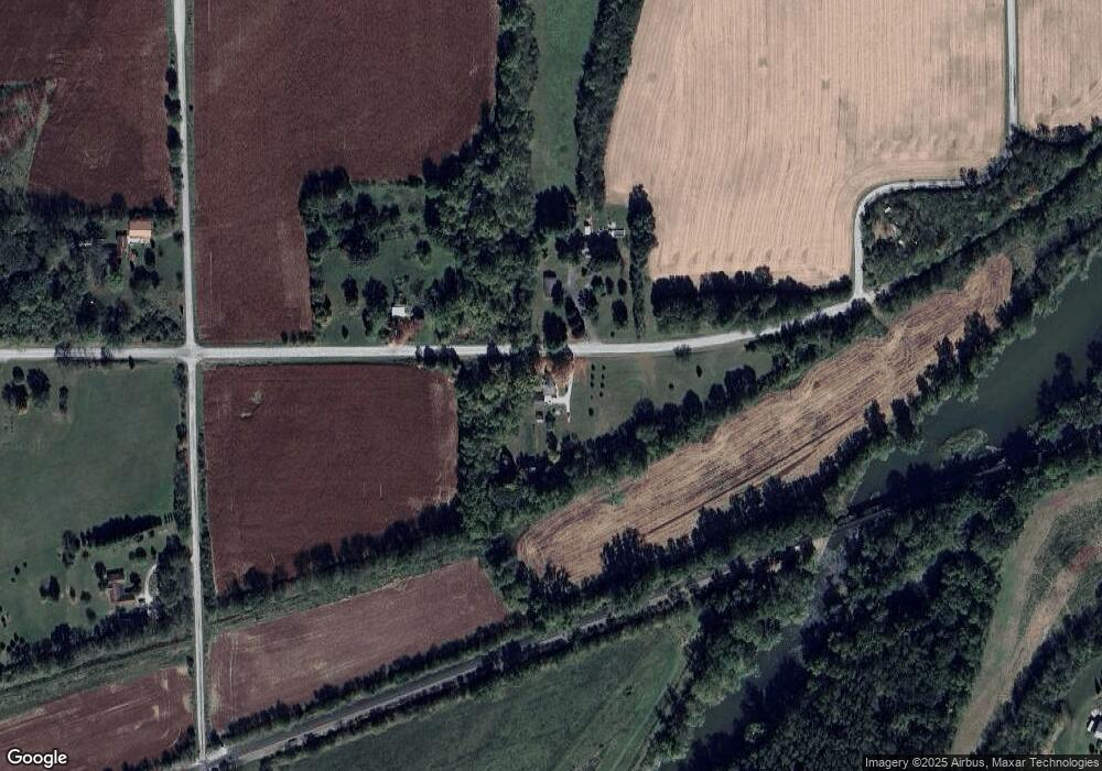
7757 E Blue Star Hwy Andrews, IN 46702
Estimated Value: $239,656 - $470,000
3
Beds
1
Bath
1,948
Sq Ft
$185/Sq Ft
Est. Value
About This Home
This home is located at 7757 E Blue Star Hwy, Andrews, IN 46702 and is currently estimated at $359,664, approximately $184 per square foot. 7757 E Blue Star Hwy is a home located in Wabash County.
Ownership History
Date
Name
Owned For
Owner Type
Purchase Details
Closed on
Aug 11, 2021
Sold by
Taylor Michael B and Taylor Ashley D
Bought by
Miller Michelle R
Current Estimated Value
Purchase Details
Closed on
Dec 19, 2020
Sold by
Taylor Dennis K
Bought by
Taylor Michael B and Taylor Ashley
Purchase Details
Closed on
Nov 5, 2018
Sold by
Taylor Dennis K
Bought by
Taylor Michael B and Taylor Ashley D
Purchase Details
Closed on
Jul 14, 2017
Sold by
Taylor Dennis K and Taylor Catherine L
Bought by
Taylor Dennis K
Purchase Details
Closed on
Feb 10, 2016
Sold by
Taylor Dennis K and Taylor Catherine L
Bought by
Taylor Dennis K and Taylor Catherine L
Create a Home Valuation Report for This Property
The Home Valuation Report is an in-depth analysis detailing your home's value as well as a comparison with similar homes in the area
Home Values in the Area
Average Home Value in this Area
Purchase History
| Date | Buyer | Sale Price | Title Company |
|---|---|---|---|
| Miller Michelle R | -- | None Available | |
| Taylor Michael B | -- | None Available | |
| Taylor Michael B | -- | None Available | |
| Taylor Dennis K | -- | None Available | |
| Taylor Dennis K | -- | None Available | |
| Taylor Dennis K | -- | None Available |
Source: Public Records
Tax History Compared to Growth
Tax History
| Year | Tax Paid | Tax Assessment Tax Assessment Total Assessment is a certain percentage of the fair market value that is determined by local assessors to be the total taxable value of land and additions on the property. | Land | Improvement |
|---|---|---|---|---|
| 2024 | $2,194 | $147,800 | $27,800 | $120,000 |
| 2023 | $2,114 | $144,300 | $27,800 | $116,500 |
| 2022 | $1,550 | $135,300 | $27,800 | $107,500 |
| 2021 | $595 | $115,100 | $22,800 | $92,300 |
| 2020 | $539 | $109,700 | $22,800 | $86,900 |
| 2019 | $472 | $103,700 | $22,800 | $80,900 |
| 2018 | $552 | $111,100 | $28,300 | $82,800 |
| 2017 | $517 | $108,200 | $27,800 | $80,400 |
| 2016 | $414 | $107,600 | $28,500 | $79,100 |
| 2014 | $351 | $101,400 | $29,200 | $72,200 |
| 2013 | $315 | $97,700 | $27,200 | $70,500 |
Source: Public Records
Map
Nearby Homes
- 2848 N 800 E
- 330 W Mckeever St
- 187 S Snowden St
- 63 E Mckeever St
- 874 N Jackson St
- 460 Main St
- 00 S 600 E
- 5562 W 100 N
- TBD W Maple Grove Rd
- 1957 E State Road 524
- 1920 Hunters Ridge Dr
- 92 S 425 W
- 5725 W 600 N
- TBD S 600 W
- 58 Quayle Run
- TBD 495 N
- 2217 Miami Trail
- 2207 Miami Trail
- 2200 Miami Trail
- 2210 Miami Trail