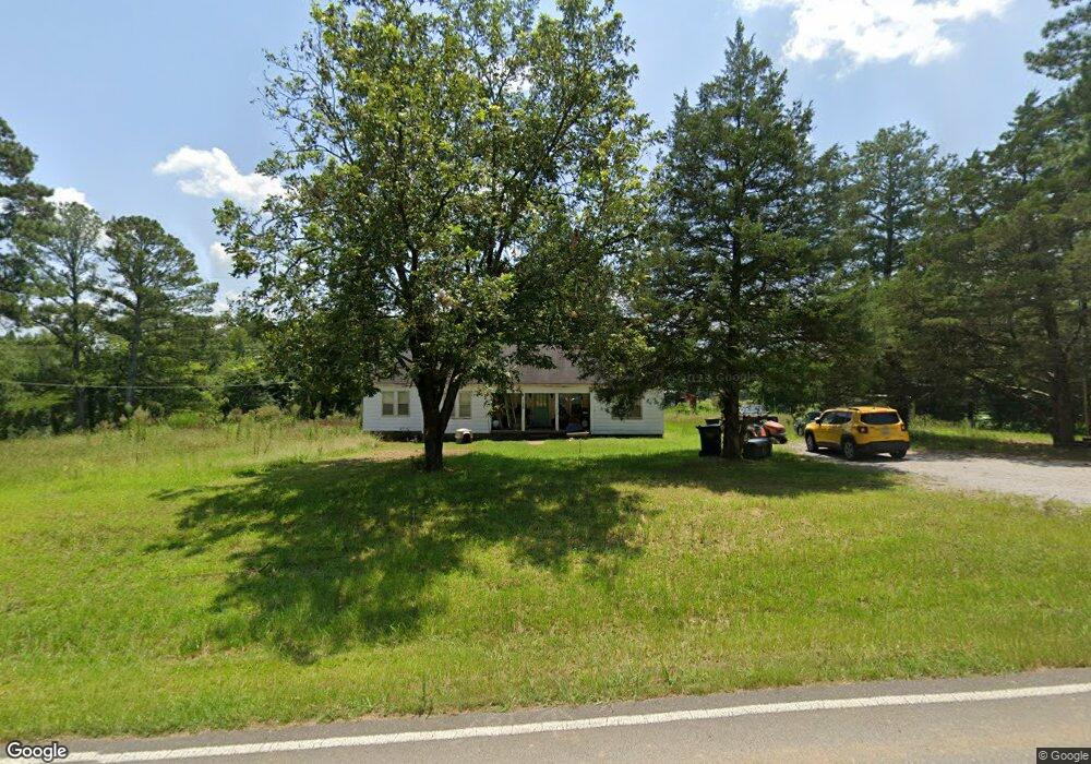
776 Bowles Bridge Rd Hartselle, AL 35640
Estimated Value: $119,974 - $236,000
--
Bed
--
Bath
1,968
Sq Ft
$102/Sq Ft
Est. Value
About This Home
This home is located at 776 Bowles Bridge Rd, Hartselle, AL 35640 and is currently estimated at $200,994, approximately $102 per square foot. 776 Bowles Bridge Rd is a home located in Morgan County with nearby schools including Danville-Neel Elementary School, Danville Middle School, and Danville High School.
Ownership History
Date
Name
Owned For
Owner Type
Purchase Details
Closed on
Jul 30, 2025
Sold by
Scott Max Jacob
Bought by
Scott Valerie Brooke and Scott Max Jacob
Current Estimated Value
Home Financials for this Owner
Home Financials are based on the most recent Mortgage that was taken out on this home.
Original Mortgage
$212,087
Outstanding Balance
$210,816
Interest Rate
6.72%
Mortgage Type
Construction
Estimated Equity
-$9,822
Create a Home Valuation Report for This Property
The Home Valuation Report is an in-depth analysis detailing your home's value as well as a comparison with similar homes in the area
Home Values in the Area
Average Home Value in this Area
Purchase History
| Date | Buyer | Sale Price | Title Company |
|---|---|---|---|
| Scott Valerie Brooke | -- | None Listed On Document | |
| Scott Valerie Brooke | -- | None Listed On Document |
Source: Public Records
Mortgage History
| Date | Status | Borrower | Loan Amount |
|---|---|---|---|
| Open | Scott Valerie Brooke | $212,087 | |
| Closed | Scott Valerie Brooke | $212,087 |
Source: Public Records
Tax History Compared to Growth
Tax History
| Year | Tax Paid | Tax Assessment Tax Assessment Total Assessment is a certain percentage of the fair market value that is determined by local assessors to be the total taxable value of land and additions on the property. | Land | Improvement |
|---|---|---|---|---|
| 2024 | $286 | $8,790 | $1,260 | $7,530 |
| 2023 | $276 | $8,790 | $1,260 | $7,530 |
| 2022 | $276 | $8,790 | $1,260 | $7,530 |
| 2021 | $232 | $7,990 | $1,710 | $6,280 |
| 2020 | $232 | $13,550 | $1,710 | $11,840 |
| 2019 | $232 | $7,640 | $0 | $0 |
| 2015 | $207 | $6,960 | $0 | $0 |
| 2014 | $207 | $6,960 | $0 | $0 |
| 2013 | -- | $6,200 | $0 | $0 |
Source: Public Records
Map
Nearby Homes
- 2614 Park Ave NW
- 0 Kayo Rd Unit 25078388
- 2801 Highway 31 NW
- 2.8 Acres Highway 31 S
- 1312 Whispering Hills Cir NW
- 4705 Joe Davis Dr
- 1 Bud Weaver Rd
- 13.24 Herring Rd
- 0 Norris Mill Rd Unit 23367060
- 2102 Evans Dr NW
- 4417 Dogwood Dr SW
- 152 Old Vaughn Bridge Rd
- 4306 Dogwood Dr SW
- 4302 Dogwood Dr SW
- 1251 Pisgah Rd SE
- 434 Rock Spring Rd
- 4407 Old Highway 31
- 220 Clear Creek Dr
- 513 Austinville Flint Rd SW
- 509 Austinville Flint Rd SW
- 804 Bowles Bridge Rd
- 5573 Norris Mill Rd
- 806 Bowles Bridge Rd
- 5587 Norris Mill Rd
- 51 Wallace Rd
- 5629 Norris Mill Rd
- 19 Wallace Rd
- 5617 Norris Mill Rd
- 5638 Norris Mill Rd
- 0 Norris Mill Rd Unit 262087
- 5679 Norris Mill Rd
- 75 Sandlin Rd
- 5413 Norris Mill Rd
- 71 Paradise Ln
- 8725 Norris Mill Rd
- 61 Paradise Ln
- 47 Paradise Ln
- 103 Sandlin Rd
- 73 Paradise Ln
- 5397 Norris Mill Rd