776 Deerfield Trail Unit 8 Springfield, OH 45503
Estimated Value: $257,000 - $283,000
3
Beds
3
Baths
1,609
Sq Ft
$169/Sq Ft
Est. Value
About This Home
This home is located at 776 Deerfield Trail Unit 8, Springfield, OH 45503 and is currently estimated at $271,432, approximately $168 per square foot. 776 Deerfield Trail Unit 8 is a home located in Clark County with nearby schools including Rolling Hills Elementary School, Northridge Middle School, and Kenton Ridge Middle & High School.
Ownership History
Date
Name
Owned For
Owner Type
Purchase Details
Closed on
Dec 29, 2015
Sold by
Slagle Constance S
Bought by
Slagle Paul Edgar and Slagle Paul E
Current Estimated Value
Purchase Details
Closed on
Jan 19, 2005
Sold by
Hoppes Builders & Development Co
Bought by
Benway Marjorie K and Slagle Constance S
Home Financials for this Owner
Home Financials are based on the most recent Mortgage that was taken out on this home.
Original Mortgage
$29,000
Interest Rate
5.79%
Mortgage Type
Purchase Money Mortgage
Create a Home Valuation Report for This Property
The Home Valuation Report is an in-depth analysis detailing your home's value as well as a comparison with similar homes in the area
Home Values in the Area
Average Home Value in this Area
Purchase History
| Date | Buyer | Sale Price | Title Company |
|---|---|---|---|
| Slagle Paul Edgar | -- | None Available | |
| Benway Marjorie K | $161,300 | -- |
Source: Public Records
Mortgage History
| Date | Status | Borrower | Loan Amount |
|---|---|---|---|
| Closed | Benway Marjorie K | $29,000 |
Source: Public Records
Tax History Compared to Growth
Tax History
| Year | Tax Paid | Tax Assessment Tax Assessment Total Assessment is a certain percentage of the fair market value that is determined by local assessors to be the total taxable value of land and additions on the property. | Land | Improvement |
|---|---|---|---|---|
| 2024 | $2,401 | $65,950 | $10,500 | $55,450 |
| 2023 | $2,401 | $65,950 | $10,500 | $55,450 |
| 2022 | $2,428 | $65,950 | $10,500 | $55,450 |
| 2021 | $2,409 | $56,850 | $8,750 | $48,100 |
| 2020 | $2,411 | $56,850 | $8,750 | $48,100 |
| 2019 | $2,457 | $56,850 | $8,750 | $48,100 |
| 2018 | $2,442 | $54,590 | $8,750 | $45,840 |
| 2017 | $2,093 | $52,836 | $8,750 | $44,086 |
| 2016 | $2,078 | $52,836 | $8,750 | $44,086 |
| 2015 | $2,119 | $51,534 | $8,750 | $42,784 |
| 2014 | $2,119 | $51,534 | $8,750 | $42,784 |
| 2013 | $2,070 | $51,534 | $8,750 | $42,784 |
Source: Public Records
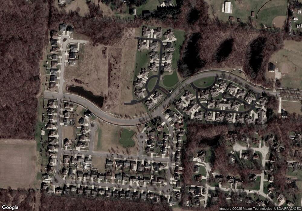
Map
Nearby Homes
- 4514 Dowden St
- 794 Donnelly Ave
- 880 Brendle Trace Unit 28
- 916 Sawmill Ct
- 593 Hiser Ave
- 970 Forest Edge Ave
- 4712 Cullen Ave
- 4622 W Ridgewood Rd
- 4109 Derr Rd
- 1461 Student Ave
- 1139 Greenoak Ct
- 4446 Ridgewood Rd E Unit 3
- 4512 Ridgewood Rd E
- 5127 Stoneridge Dr
- 5249 Taywell Dr
- 4740 Merrimont Ave
- 4438 Tacoma St
- 774 Deerfield Trail Unit 7
- 778 Deerfield Trail Unit 9
- 780 Deerfield Trail Unit 10
- 771 Deerfield Trail
- 773 Crescent Point Unit 2
- 773 Crescent Point
- 4540 Dowden St
- 4527 Chapman Ln
- 4535 Dowden St
- 779 Crescent Point
- 781 Crescent Point Unit 4
- 781 Crescent Point
- 781 Crescent Point
- 804 Brendle Trace Unit 45
- 4536 Dowden St
- 802 Brendle Trace Unit 46
- 1 Hunt Pkwy
- 26 Hunt Pkwy
- 4525 Chapman Ln
- 785 Crescent Point