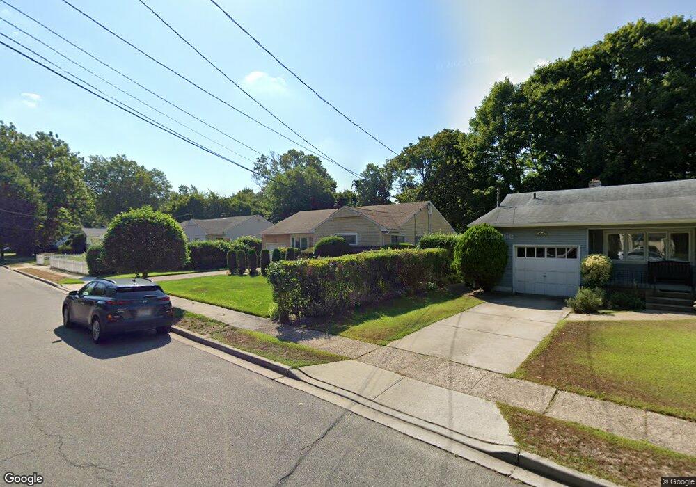
776 Janos Ln West Hempstead, NY 11552
Estimated Value: $561,339 - $674,000
--
Bed
1
Bath
1,088
Sq Ft
$568/Sq Ft
Est. Value
About This Home
This home is located at 776 Janos Ln, West Hempstead, NY 11552 and is currently estimated at $617,670, approximately $567 per square foot. 776 Janos Ln is a home located in Nassau County with nearby schools including Davison Avenue Intermediate School, Maurice W. Downing Primary K-2 School, and Howard T Herber Middle School.
Ownership History
Date
Name
Owned For
Owner Type
Purchase Details
Closed on
Dec 5, 2023
Sold by
Massillon Lorraine Jeanmarie and Loree Jeanmarie Irrevocable Trust
Bought by
Massillon Lorraine Jeanmarie and Loree Jeanmarie Irrevocable Trust
Current Estimated Value
Purchase Details
Closed on
Aug 21, 2008
Sold by
Jeanmarie Loree
Bought by
Jeanmarie Gardner Charmaine and Loree Jeanmarie Irrevocable Trust
Purchase Details
Closed on
Apr 13, 2001
Purchase Details
Closed on
Mar 1, 1999
Create a Home Valuation Report for This Property
The Home Valuation Report is an in-depth analysis detailing your home's value as well as a comparison with similar homes in the area
Home Values in the Area
Average Home Value in this Area
Purchase History
| Date | Buyer | Sale Price | Title Company |
|---|---|---|---|
| Massillon Lorraine Jeanmarie | -- | None Available | |
| Massillon Lorraine Jeanmarie | -- | None Available | |
| Jeanmarie Gardner Charmaine | -- | Commonwealth Land Title | |
| Jeanmarie Gardner Charmaine | -- | Commonwealth Land Title | |
| Jeanmarie Gardner Charmaine | -- | Commonwealth Land Title | |
| -- | -- | -- | |
| -- | -- | -- | |
| -- | -- | -- | |
| -- | -- | -- |
Source: Public Records
Tax History Compared to Growth
Tax History
| Year | Tax Paid | Tax Assessment Tax Assessment Total Assessment is a certain percentage of the fair market value that is determined by local assessors to be the total taxable value of land and additions on the property. | Land | Improvement |
|---|---|---|---|---|
| 2025 | $10,549 | $386 | $162 | $224 |
| 2024 | $3,791 | $386 | $162 | $224 |
| 2023 | $9,669 | $405 | $170 | $235 |
| 2022 | $9,669 | $386 | $162 | $224 |
| 2021 | $11,514 | $382 | $160 | $222 |
| 2020 | $8,853 | $482 | $403 | $79 |
| 2019 | $8,163 | $517 | $325 | $192 |
| 2018 | $8,253 | $687 | $0 | $0 |
| 2017 | $6,224 | $687 | $432 | $255 |
| 2016 | $10,265 | $687 | $432 | $255 |
| 2015 | $3,782 | $687 | $432 | $255 |
| 2014 | $3,782 | $687 | $432 | $255 |
| 2013 | $3,561 | $687 | $432 | $255 |
Source: Public Records
Map
Nearby Homes
- 815 Sunshine Ave
- 55 Melvin Ave
- 841 Woodfield Rd
- 301 Coventry Rd N
- 312 Coventry Rd S
- 639 Robin Ct
- 49 Carol St
- 647 Jennings Ave
- 5 Juliette Rd
- 450 Rhodes Ln
- 0 Rhodes Ln
- 629 Park Ave
- 596 Lincoln Ave
- 513 Washington Ave
- 853 Arthur St
- 486 Champlain Ave
- 757 Harrison St
- 1024 Mahopac Rd
- 394 Pinebrook Ave
- 10 Pinebrook Ave