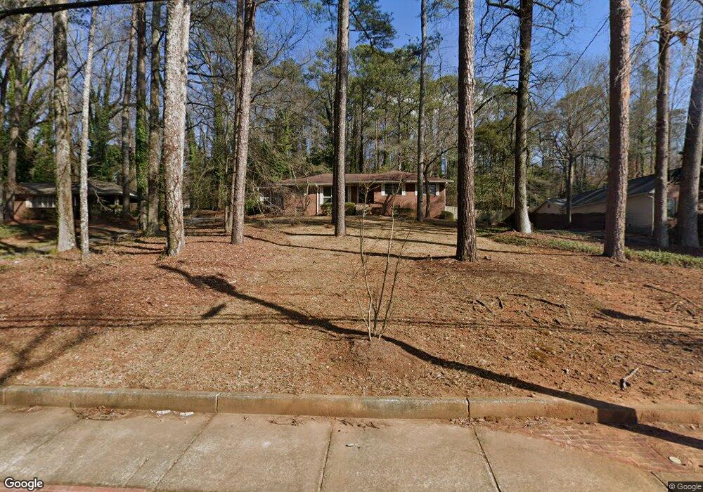
776 Lynhurst Dr SW Atlanta, GA 30311
Estimated Value: $292,647 - $375,000
3
Beds
2
Baths
1,800
Sq Ft
$188/Sq Ft
Est. Value
About This Home
This home is located at 776 Lynhurst Dr SW, Atlanta, GA 30311 and is currently estimated at $338,162, approximately $187 per square foot. 776 Lynhurst Dr SW is a home located in Fulton County with nearby schools including West Manor Elementary School, Young Middle School, and Mays High School.
Ownership History
Date
Name
Owned For
Owner Type
Purchase Details
Closed on
Jul 21, 2020
Sold by
Dent Mary F
Bought by
Dent Mary F and Dent Claire R
Current Estimated Value
Purchase Details
Closed on
Mar 12, 2004
Sold by
Dent Richard A
Bought by
Dent Richard A and Dent Mary
Purchase Details
Closed on
Feb 8, 2001
Sold by
Osborne Teresa L
Bought by
Dent Richard A and Dent Mary F
Home Financials for this Owner
Home Financials are based on the most recent Mortgage that was taken out on this home.
Original Mortgage
$153,000
Interest Rate
7.03%
Mortgage Type
New Conventional
Purchase Details
Closed on
Apr 29, 1994
Sold by
Lawson Delman Annie
Bought by
Osborne Teresa L
Home Financials for this Owner
Home Financials are based on the most recent Mortgage that was taken out on this home.
Original Mortgage
$97,648
Interest Rate
8.07%
Mortgage Type
FHA
Create a Home Valuation Report for This Property
The Home Valuation Report is an in-depth analysis detailing your home's value as well as a comparison with similar homes in the area
Home Values in the Area
Average Home Value in this Area
Purchase History
| Date | Buyer | Sale Price | Title Company |
|---|---|---|---|
| Dent Mary F | -- | -- | |
| Dent Richard A | -- | -- | |
| Dent Richard A | $170,000 | -- | |
| Osborne Teresa L | $100,000 | -- |
Source: Public Records
Mortgage History
| Date | Status | Borrower | Loan Amount |
|---|---|---|---|
| Previous Owner | Dent Richard A | $153,000 | |
| Previous Owner | Osborne Teresa L | $97,648 |
Source: Public Records
Tax History Compared to Growth
Tax History
| Year | Tax Paid | Tax Assessment Tax Assessment Total Assessment is a certain percentage of the fair market value that is determined by local assessors to be the total taxable value of land and additions on the property. | Land | Improvement |
|---|---|---|---|---|
| 2025 | $1,935 | $116,440 | $34,560 | $81,880 |
| 2023 | $5,399 | $130,400 | $47,480 | $82,920 |
| 2022 | $1,731 | $98,760 | $28,440 | $70,320 |
| 2021 | $1,671 | $95,840 | $27,600 | $68,240 |
| 2020 | $882 | $67,560 | $10,360 | $57,200 |
| 2019 | $502 | $54,400 | $9,160 | $45,240 |
| 2018 | $61 | $53,160 | $8,960 | $44,200 |
| 2017 | $50 | $29,000 | $4,800 | $24,200 |
| 2016 | $51 | $29,000 | $4,800 | $24,200 |
| 2015 | $592 | $29,000 | $4,800 | $24,200 |
| 2014 | $35 | $20,960 | $3,600 | $17,360 |
Source: Public Records
Map
Nearby Homes
- 761 Lynn Cir SW
- 805 Lynn Cir SW
- 650 Lynhurst Dr SW
- 3175 W Manor Cir SW
- 668 Lynn Cir SW Unit 3
- 716 Lynn Valley Rd SW
- 659 Lynn Valley Rd SW
- 3211 Hollydale Dr SW
- 970 Tuckawanna Dr SW
- 3137 Ardley Rd SW
- 0 Benjamin E Mays Dr SW Unit 10593765
- 0 Benjamin E Mays Dr SW Unit 7588232
- 579 Fielding Ln SW
- 3311 Spreading Oak Dr SW
- 3330 Pamlico Dr SW
- 668 Fielding Ln SW
- 459 Thackery Place SW Unit I
- 3280 Hazelwood Dr SW
- 3390 Cedar Island Dr SW
- 3365 Ardley Rd SW
- 750 Lynhurst Dr SW
- 784 Lynhurst Dr SW
- 788 Lynhurst Dr SW
- 775 Lynhurst Dr SW
- 740 Lynhurst Dr SW
- 751 Lynhurst Dr SW
- 724 Lynhurst Dr SW
- 761 Lin Dr SW
- 775 Lynn Cir SW
- 751 Lynn Cir SW
- 820 Lynhurst Dr SW
- 741 Lynn Cir SW
- 789 Lynn Cir SW
- 135 Lynhurst Dr SW
- 815 Lynhurst Dr SW Unit 25
- 815 Lynhurst Dr SW
- 716 Lynhurst Dr SW
- 725 Lynhurst Dr SW
- 731 Lynn Cir SW
- 797 Lynn Cir SW