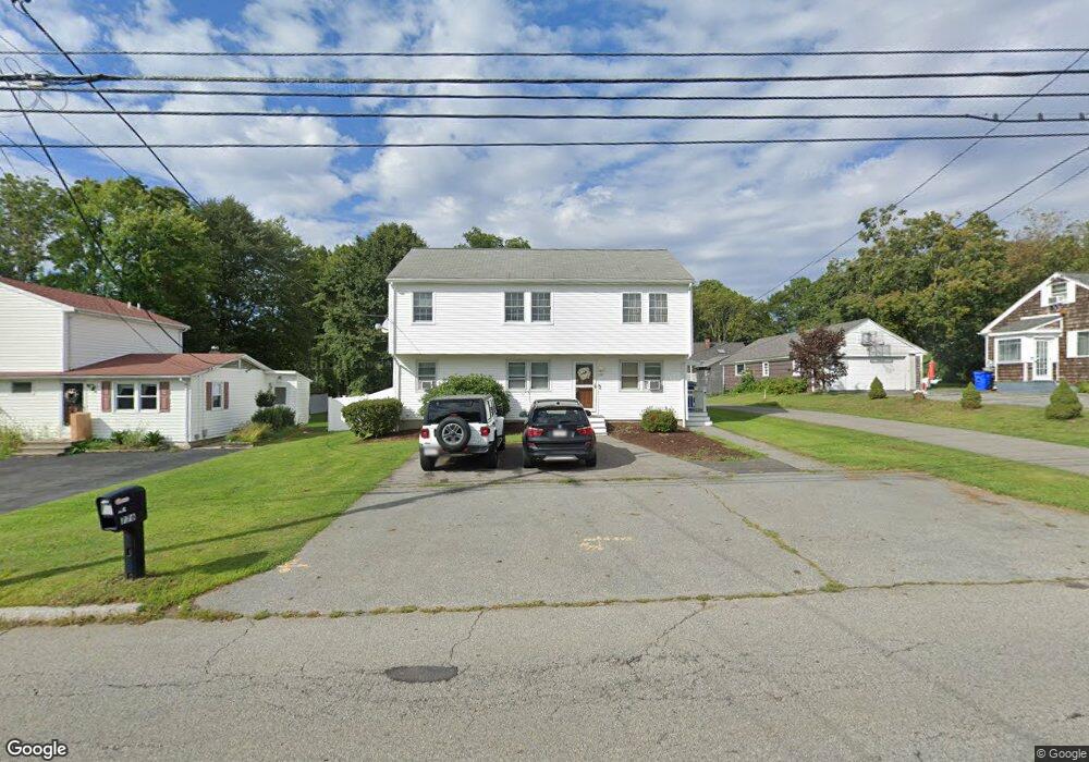
776 Wilson Rd Fall River, MA 02720
North End NeighborhoodEstimated Value: $533,132 - $602,000
6
Beds
2
Baths
1,809
Sq Ft
$311/Sq Ft
Est. Value
About This Home
This home is located at 776 Wilson Rd, Fall River, MA 02720 and is currently estimated at $562,533, approximately $310 per square foot. 776 Wilson Rd is a home located in Bristol County with nearby schools including North End Elementary School, Morton Middle School, and B M C Durfee High School.
Ownership History
Date
Name
Owned For
Owner Type
Purchase Details
Closed on
May 6, 2021
Sold by
Pessoa Jorge P
Bought by
Pessoa Jorge P and Pessoa Kerri
Current Estimated Value
Purchase Details
Closed on
Dec 31, 2020
Sold by
Morin Virginia A and Pessoa Kerri
Bought by
Pessoa Jorge P
Home Financials for this Owner
Home Financials are based on the most recent Mortgage that was taken out on this home.
Original Mortgage
$353,479
Interest Rate
2.7%
Mortgage Type
FHA
Purchase Details
Closed on
Aug 25, 2016
Sold by
Pessoa Kerri and Morin Virginia A
Bought by
Pessoa Kerri and Morin Virginia A
Home Financials for this Owner
Home Financials are based on the most recent Mortgage that was taken out on this home.
Original Mortgage
$203,413
Interest Rate
3.25%
Mortgage Type
FHA
Purchase Details
Closed on
Jun 10, 2016
Sold by
Morin Virginia A
Bought by
Pessoa Kerri and Morin Virginia A
Purchase Details
Closed on
Aug 21, 1980
Bought by
Morin Virginia A
Create a Home Valuation Report for This Property
The Home Valuation Report is an in-depth analysis detailing your home's value as well as a comparison with similar homes in the area
Home Values in the Area
Average Home Value in this Area
Purchase History
| Date | Buyer | Sale Price | Title Company |
|---|---|---|---|
| Pessoa Jorge P | -- | None Available | |
| Pessoa Jorge P | $360,000 | None Available | |
| Pessoa Kerri | -- | -- | |
| Pessoa Kerri | -- | -- | |
| Morin Virginia A | -- | -- |
Source: Public Records
Mortgage History
| Date | Status | Borrower | Loan Amount |
|---|---|---|---|
| Previous Owner | Pessoa Jorge P | $353,479 | |
| Previous Owner | Pessoa Kerri | $203,413 | |
| Previous Owner | Morin Virginia A | $24,000 | |
| Previous Owner | Morin Virginia A | $12,000 |
Source: Public Records
Tax History
| Year | Tax Paid | Tax Assessment Tax Assessment Total Assessment is a certain percentage of the fair market value that is determined by local assessors to be the total taxable value of land and additions on the property. | Land | Improvement |
|---|---|---|---|---|
| 2025 | $5,280 | $461,100 | $128,200 | $332,900 |
| 2024 | $4,165 | $362,500 | $125,700 | $236,800 |
| 2023 | $4,504 | $367,100 | $113,200 | $253,900 |
| 2022 | $3,648 | $306,100 | $106,800 | $199,300 |
| 2021 | $3,648 | $263,800 | $102,000 | $161,800 |
| 2020 | $3,292 | $227,800 | $97,400 | $130,400 |
| 2019 | $3,244 | $222,500 | $101,800 | $120,700 |
| 2018 | $2,792 | $191,000 | $101,900 | $89,100 |
| 2017 | $2,527 | $180,500 | $96,100 | $84,400 |
| 2016 | $2,433 | $178,500 | $96,100 | $82,400 |
| 2015 | $2,373 | $181,400 | $96,100 | $85,300 |
| 2014 | $2,435 | $193,600 | $101,200 | $92,400 |
Source: Public Records
Map
Nearby Homes
- 2106 Meridian St
- 174 Columbus Dr
- 3636 N Main St Unit 5
- Parcel 2 Highcrest Rd
- 33 Warner St
- 4234 N Main St Unit 103
- 257 Calvin St
- 201 Montgomery Cir
- 1810 Highland Ave Unit 22
- 230 College Park Rd
- 2714 Riverside Ave
- 22 Apple Creek Ln
- 274 Archer St
- 29 Valentine St
- 54 Grant Ave
- 247 Albany St
- 210 Harrison Ave
- 195 Crescent St Unit 3
- 108 Stowe St Unit 108
- 27 Kane St
Your Personal Tour Guide
Ask me questions while you tour the home.