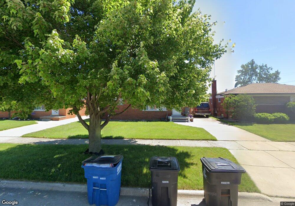
7760 Gary Ave Westland, MI 48185
Estimated Value: $234,692 - $275,000
3
Beds
2
Baths
1,039
Sq Ft
$241/Sq Ft
Est. Value
About This Home
This home is located at 7760 Gary Ave, Westland, MI 48185 and is currently estimated at $250,673, approximately $241 per square foot. 7760 Gary Ave is a home located in Wayne County with nearby schools including Hayes Elementary School, Cooper Upper Elementary School, and Emerson Middle School.
Ownership History
Date
Name
Owned For
Owner Type
Purchase Details
Closed on
Jul 29, 2014
Sold by
Wood Lucinda
Bought by
Baker-Bozzi Carrie
Current Estimated Value
Purchase Details
Closed on
May 20, 2008
Sold by
Baker Bozzi Carrie
Bought by
Wood Joe G
Purchase Details
Closed on
Nov 21, 2007
Sold by
Baker Bozzi Carrie
Bought by
Mortgage Electronic Registration Systems
Purchase Details
Closed on
Nov 20, 2007
Sold by
Mortgage Electronic Registration Systems
Bought by
The Bank Of New York Trust Co Na and Jpmorgan Chase Bank Na
Purchase Details
Closed on
Dec 17, 2003
Sold by
Anderson David V and Anderson Jan P
Bought by
Bozzi Carrie Baker
Create a Home Valuation Report for This Property
The Home Valuation Report is an in-depth analysis detailing your home's value as well as a comparison with similar homes in the area
Home Values in the Area
Average Home Value in this Area
Purchase History
| Date | Buyer | Sale Price | Title Company |
|---|---|---|---|
| Baker-Bozzi Carrie | -- | None Listed On Document | |
| Baker-Bozzi Carrie | -- | None Listed On Document | |
| Wood Joe G | $125,000 | None Available | |
| Mortgage Electronic Registration Systems | $162,896 | None Available | |
| The Bank Of New York Trust Co Na | -- | None Available | |
| Bozzi Carrie Baker | $171,000 | Metropolitan Title Company |
Source: Public Records
Tax History Compared to Growth
Tax History
| Year | Tax Paid | Tax Assessment Tax Assessment Total Assessment is a certain percentage of the fair market value that is determined by local assessors to be the total taxable value of land and additions on the property. | Land | Improvement |
|---|---|---|---|---|
| 2025 | $2,076 | $101,700 | $0 | $0 |
| 2024 | $2,076 | $94,800 | $0 | $0 |
| 2023 | $2,422 | $85,800 | $0 | $0 |
| 2022 | $3,098 | $77,300 | $0 | $0 |
| 2021 | $3,014 | $73,400 | $0 | $0 |
| 2020 | $2,980 | $69,400 | $0 | $0 |
| 2019 | $2,863 | $66,900 | $0 | $0 |
| 2018 | $2,056 | $56,600 | $0 | $0 |
| 2017 | $1,432 | $52,700 | $0 | $0 |
| 2016 | $2,717 | $53,100 | $0 | $0 |
| 2015 | $4,074 | $51,380 | $0 | $0 |
| 2013 | $3,947 | $40,360 | $0 | $0 |
| 2012 | $1,770 | $40,540 | $0 | $0 |
Source: Public Records
Map
Nearby Homes
- 7637 Melvin Ave
- 7841 Randy Dr
- 7505 Donna St
- 29639 Shacket St
- 8037 Beatrice
- 8148 Randy Dr
- 8157 Gary Ave
- 7721 Carrousel Blvd
- 30604 Ann Arbor Trail
- 30614 Ann Arbor Trail
- 0000 N Middlebelt Rd
- 8309 Hugh St
- 29256 Brody Ave
- 8346 Hillcrest Blvd
- 8411 Hugh St
- 8483 Beatrice
- 29801 Bridge St
- 29498 Bridge St
- 6747 Burnly St
- 28926 Ann Arbor Trail
- 7748 Gary Ave
- 7772 Gary Ave
- 7725 Melvin Ave
- 7736 Gary Ave
- 7713 Melvin Ave
- 7737 Melvin Ave
- 7782 Gary Ave
- 7787 Louise Ct Unit Bldg-Unit
- 7787 Louise Ct
- 7701 Melvin Ave
- 7724 Gary Ave
- 7767 Gary Ave
- 7755 Gary Ave
- 7757 Melvin Ave
- 7779 Gary Ave
- 7743 Gary Ave
- 7649 Melvin Ave
- 7789 Gary Ave
- 7712 Gary Ave
- 7731 Gary Ave