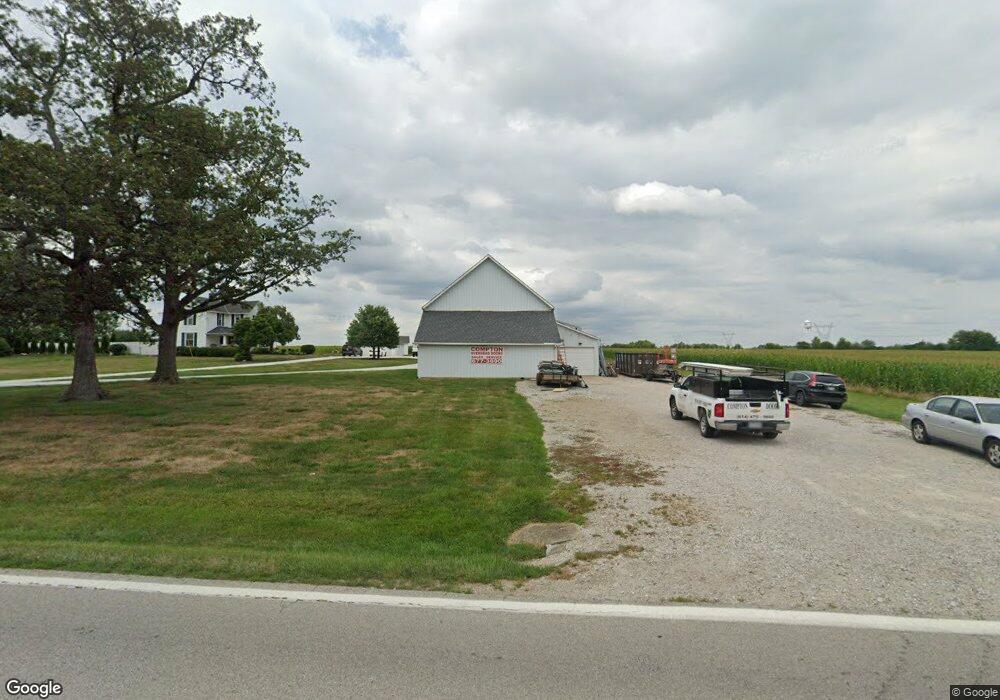
7760 State Route 762 Orient, OH 43146
Estimated Value: $385,000 - $515,000
4
Beds
2
Baths
2,649
Sq Ft
$171/Sq Ft
Est. Value
About This Home
This home is located at 7760 State Route 762, Orient, OH 43146 and is currently estimated at $453,055, approximately $171 per square foot. 7760 State Route 762 is a home located in Pickaway County.
Ownership History
Date
Name
Owned For
Owner Type
Purchase Details
Closed on
Mar 6, 2020
Sold by
Compton Kim and Compton Vicki S
Bought by
Compton Kim E and Compton Kelsey
Current Estimated Value
Home Financials for this Owner
Home Financials are based on the most recent Mortgage that was taken out on this home.
Original Mortgage
$155,000
Outstanding Balance
$137,275
Interest Rate
3.5%
Mortgage Type
New Conventional
Estimated Equity
$315,780
Purchase Details
Closed on
Jun 13, 2013
Sold by
Compton Kim
Bought by
Compton Kim and Compton Vicki S
Home Financials for this Owner
Home Financials are based on the most recent Mortgage that was taken out on this home.
Original Mortgage
$170,000
Interest Rate
3.62%
Mortgage Type
New Conventional
Purchase Details
Closed on
May 1, 1985
Create a Home Valuation Report for This Property
The Home Valuation Report is an in-depth analysis detailing your home's value as well as a comparison with similar homes in the area
Home Values in the Area
Average Home Value in this Area
Purchase History
| Date | Buyer | Sale Price | Title Company |
|---|---|---|---|
| Compton Kim E | $250,000 | Title Connect Agnecy Recordi | |
| Compton Kim | -- | Meymax Title Agency | |
| -- | $53,900 | -- |
Source: Public Records
Mortgage History
| Date | Status | Borrower | Loan Amount |
|---|---|---|---|
| Open | Compton Kim E | $155,000 | |
| Previous Owner | Compton Kim | $170,000 |
Source: Public Records
Tax History Compared to Growth
Tax History
| Year | Tax Paid | Tax Assessment Tax Assessment Total Assessment is a certain percentage of the fair market value that is determined by local assessors to be the total taxable value of land and additions on the property. | Land | Improvement |
|---|---|---|---|---|
| 2024 | -- | $107,650 | $28,700 | $78,950 |
| 2023 | $4,063 | $107,650 | $28,700 | $78,950 |
| 2022 | $3,191 | $77,650 | $19,150 | $58,500 |
| 2021 | $3,201 | $77,650 | $19,150 | $58,500 |
| 2020 | $3,202 | $77,650 | $19,150 | $58,500 |
| 2019 | $2,590 | $65,400 | $18,320 | $47,080 |
| 2018 | $2,560 | $65,400 | $18,320 | $47,080 |
| 2017 | $2,628 | $65,400 | $18,320 | $47,080 |
| 2016 | $2,401 | $59,650 | $16,230 | $43,420 |
| 2015 | $2,403 | $59,650 | $16,230 | $43,420 |
| 2014 | $2,405 | $59,650 | $16,230 | $43,420 |
| 2013 | $2,530 | $60,310 | $16,230 | $44,080 |
Source: Public Records
Map
Nearby Homes
- 7789 State Route 762
- 11044 Coontz Rd
- 182 Honey Locust Ln
- 186 Red Oak Ct
- 169 Chestnut Commons Dr
- 161 Chestnut Estates Dr
- 166 Rosewood Loop SE
- 11652 Matville Rd
- 8143 Snyder Rd
- 56 Chambers Bay Rd
- 294 Shady Hollow Dr
- 47 Front St
- 66 Genoa Cir
- 62 Genoa Cir
- 55 Genoa Cir
- 0 Lane Rd Unit 225004404
- The Siebert Plan at Genoa Crossing
- The Hollandia B Plan at Genoa Crossing
- The Rainier Plan at Genoa Crossing
- The Petoskey Plan at Genoa Crossing
- 7945 State Route 762
- 7961 State Route 762
- 7996 State Route 762
- 7991 State Route 762
- 8026 State Route 762
- 225 Honey Locust Ln
- 214 Silver Maple Dr
- 221 Honey Locust Ln
- 221 Honey Locust Ln Unit 208
- 212 Silver Maple Rd
- 7450 State Route 762
- 7521 State Route 762
- 227 Honey Locust Ln
- 223 Honey Locust Ln
- 229 Honey Locust Ln
- 229 Honey Locust Ln Unit 212
- 211 Honey Locust Ln
- 213 Honey Locust Ln
- 219 Honey Locust Ln
- 217 Honey Locust Ln