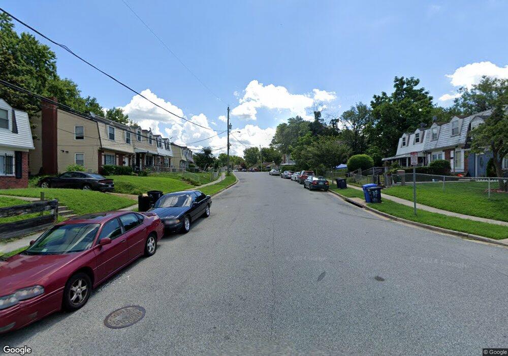
7762 Burnside Rd Hyattsville, MD 20785
Greater Landover NeighborhoodEstimated Value: $323,870 - $358,000
--
Bed
2
Baths
1,320
Sq Ft
$256/Sq Ft
Est. Value
About This Home
This home is located at 7762 Burnside Rd, Hyattsville, MD 20785 and is currently estimated at $338,468, approximately $256 per square foot. 7762 Burnside Rd is a home located in Prince George's County with nearby schools including William Paca Elementary School, Kenmoor Middle School, and Charles Herbert Flowers High School.
Ownership History
Date
Name
Owned For
Owner Type
Purchase Details
Closed on
Mar 10, 2000
Sold by
Professional Real Est & Invstmts I
Bought by
Wilson Sherry A
Current Estimated Value
Purchase Details
Closed on
Sep 29, 1999
Sold by
Bankers Trust Company Trustee
Bought by
Professional Real Est & Invstmts I
Purchase Details
Closed on
Apr 13, 1999
Sold by
Walker Cynthia A
Bought by
Bankers Trust Company Trustee and Option One Mortgage
Purchase Details
Closed on
May 31, 1996
Sold by
Walker John W
Bought by
Walker Cynthia A
Create a Home Valuation Report for This Property
The Home Valuation Report is an in-depth analysis detailing your home's value as well as a comparison with similar homes in the area
Home Values in the Area
Average Home Value in this Area
Purchase History
| Date | Buyer | Sale Price | Title Company |
|---|---|---|---|
| Wilson Sherry A | $89,900 | -- | |
| Professional Real Est & Invstmts I | $38,000 | -- | |
| Bankers Trust Company Trustee | $62,841 | -- | |
| Walker Cynthia A | -- | -- |
Source: Public Records
Tax History Compared to Growth
Tax History
| Year | Tax Paid | Tax Assessment Tax Assessment Total Assessment is a certain percentage of the fair market value that is determined by local assessors to be the total taxable value of land and additions on the property. | Land | Improvement |
|---|---|---|---|---|
| 2025 | $2,798 | $245,833 | -- | -- |
| 2024 | $2,798 | $232,967 | $0 | $0 |
| 2023 | $2,692 | $220,100 | $45,000 | $175,100 |
| 2022 | $2,541 | $208,667 | $0 | $0 |
| 2021 | $2,401 | $197,233 | $0 | $0 |
| 2020 | $2,312 | $185,800 | $45,000 | $140,800 |
| 2019 | $2,215 | $165,067 | $0 | $0 |
| 2018 | $2,113 | $144,333 | $0 | $0 |
| 2017 | $2,028 | $123,600 | $0 | $0 |
| 2016 | -- | $119,700 | $0 | $0 |
| 2015 | $2,028 | $115,800 | $0 | $0 |
| 2014 | $2,028 | $111,900 | $0 | $0 |
Source: Public Records
Map
Nearby Homes
- 1909 Palmer Park Rd
- 7850 Burnside Rd
- 7708 Bender Rd
- 2010 Ray Leonard Rd
- 1710 Allendale Place
- 8001 Barlowe Rd
- 1911 Ray Leonard Rd
- 7905 Greenleaf Rd
- 1859 Dutch Village Dr Unit J-287
- 1748 Dutch Village Dr Unit O-377
- 1842 Dutch Village Dr Unit R-264
- 7722 Penbrook Place
- 1760 Dutch Village Dr
- 8135 Allendale Dr
- 7600 Normandy Rd
- 1925 Dutch Village Dr Unit I-242
- 1909 Dutch Village Dr Unit I-234
- 1926 Dutch Village Dr Unit T-229
- 1780 Village Green Dr Unit C-68
- 1852 Village Green Dr Unit E-122
- 7764 Burnside Rd
- 7760 Burnside Rd
- 7766 Burnside Rd
- 7758 Burnside Rd
- 7756 Burnside Rd
- 7768 Burnside Rd
- 7770 Burnside Rd
- 7754 Burnside Rd
- 7772 Burnside Rd
- 1900 Bender Ct
- 7752 Burnside Rd
- 1901 Bender Ct
- 7774 Burnside Rd
- 7767 Burnside Rd
- 7750 Burnside Rd
- 7759 Burnside Rd
- 1902 Bender Ct
- 7769 Burnside Rd
- 7757 Burnside Rd
- 7776 Burnside Rd