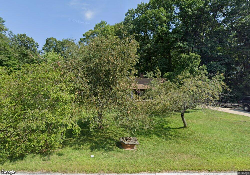
7768 Lewis Rd Olmsted Falls, OH 44138
Estimated Value: $259,000 - $299,000
2
Beds
1
Bath
1,512
Sq Ft
$182/Sq Ft
Est. Value
About This Home
This home is located at 7768 Lewis Rd, Olmsted Falls, OH 44138 and is currently estimated at $274,836, approximately $181 per square foot. 7768 Lewis Rd is a home located in Cuyahoga County with nearby schools including Falls-Lenox Primary Elementary School, Olmsted Falls Intermediate Building, and Olmsted Falls Middle School.
Ownership History
Date
Name
Owned For
Owner Type
Purchase Details
Closed on
Mar 15, 1995
Sold by
Keough Dorothy G
Bought by
Victor Michael A and Victor Barbara J
Current Estimated Value
Home Financials for this Owner
Home Financials are based on the most recent Mortgage that was taken out on this home.
Original Mortgage
$20,000
Interest Rate
8.97%
Mortgage Type
New Conventional
Purchase Details
Closed on
Jan 1, 1975
Bought by
Keough Dorothy G
Create a Home Valuation Report for This Property
The Home Valuation Report is an in-depth analysis detailing your home's value as well as a comparison with similar homes in the area
Home Values in the Area
Average Home Value in this Area
Purchase History
| Date | Buyer | Sale Price | Title Company |
|---|---|---|---|
| Victor Michael A | $85,000 | -- | |
| Keough Dorothy G | -- | -- |
Source: Public Records
Mortgage History
| Date | Status | Borrower | Loan Amount |
|---|---|---|---|
| Closed | Victor Michael A | $20,000 |
Source: Public Records
Tax History Compared to Growth
Tax History
| Year | Tax Paid | Tax Assessment Tax Assessment Total Assessment is a certain percentage of the fair market value that is determined by local assessors to be the total taxable value of land and additions on the property. | Land | Improvement |
|---|---|---|---|---|
| 2024 | $5,554 | $83,370 | $33,460 | $49,910 |
| 2023 | $4,442 | $54,110 | $35,210 | $18,900 |
| 2022 | $4,620 | $56,950 | $35,210 | $21,740 |
| 2021 | $4,577 | $56,950 | $35,210 | $21,740 |
| 2020 | $4,143 | $45,570 | $28,180 | $17,400 |
| 2019 | $3,689 | $130,200 | $80,500 | $49,700 |
| 2018 | $3,565 | $45,570 | $28,180 | $17,400 |
| 2017 | $3,422 | $38,930 | $26,570 | $12,360 |
| 2016 | $3,405 | $38,930 | $26,570 | $12,360 |
| 2015 | $3,486 | $38,930 | $26,570 | $12,360 |
| 2014 | $3,486 | $38,930 | $24,610 | $14,320 |
Source: Public Records
Map
Nearby Homes
- 281-12-007 River Rd
- 281-12-024 River Rd
- 260 Stone Ridge Way
- 7593 Columbia Rd
- V/L Columbia Rd
- 7587 Lewis Rd
- 228 Stone Ridge Way
- 136 River Rock Way Unit D
- 0 River Rd Unit 5169658
- 8241 Lewis Rd
- 25725 Cook Rd
- 100 River Rock Way
- 0
- 3 Dogwood Ln
- 7030 Columbia Rd
- 25950 Bagley Rd
- 5 Hawthorn Dr
- 109 Marble Ct
- 11 Brookins Dr
- 55 Patio Ln