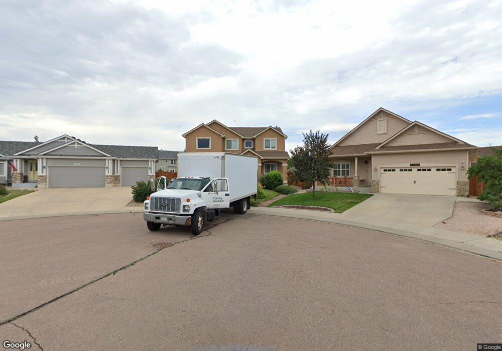
7768 Sapling Ct Fountain, CO 80817
Central Fountain Valley NeighborhoodEstimated Value: $503,202 - $562,000
4
Beds
4
Baths
2,304
Sq Ft
$236/Sq Ft
Est. Value
About This Home
This home is located at 7768 Sapling Ct, Fountain, CO 80817 and is currently estimated at $542,801, approximately $235 per square foot. 7768 Sapling Ct is a home with nearby schools including Jordahl Elementary School, Fountain Middle School, and Fountain-Fort Carson High School.
Ownership History
Date
Name
Owned For
Owner Type
Purchase Details
Closed on
Aug 30, 2013
Sold by
Windsor Ridge Homes Llc
Bought by
Salvatore John R and Salvatore Stacey L
Current Estimated Value
Home Financials for this Owner
Home Financials are based on the most recent Mortgage that was taken out on this home.
Original Mortgage
$293,328
Outstanding Balance
$219,064
Interest Rate
4.42%
Mortgage Type
New Conventional
Estimated Equity
$323,737
Create a Home Valuation Report for This Property
The Home Valuation Report is an in-depth analysis detailing your home's value as well as a comparison with similar homes in the area
Home Values in the Area
Average Home Value in this Area
Purchase History
| Date | Buyer | Sale Price | Title Company |
|---|---|---|---|
| Salvatore John R | $302,400 | Empire Title Co Springs Llc |
Source: Public Records
Mortgage History
| Date | Status | Borrower | Loan Amount |
|---|---|---|---|
| Open | Salvatore John R | $293,328 |
Source: Public Records
Tax History Compared to Growth
Tax History
| Year | Tax Paid | Tax Assessment Tax Assessment Total Assessment is a certain percentage of the fair market value that is determined by local assessors to be the total taxable value of land and additions on the property. | Land | Improvement |
|---|---|---|---|---|
| 2025 | $2,191 | $35,160 | -- | -- |
| 2024 | $2,018 | $34,710 | $6,570 | $28,140 |
| 2022 | $1,801 | $26,360 | $5,180 | $21,180 |
| 2021 | $1,700 | $27,120 | $5,330 | $21,790 |
| 2020 | $1,641 | $25,720 | $4,650 | $21,070 |
| 2019 | $1,615 | $25,720 | $4,650 | $21,070 |
| 2018 | $1,330 | $20,570 | $4,100 | $16,470 |
| 2017 | $1,317 | $20,570 | $4,100 | $16,470 |
| 2016 | $1,494 | $23,320 | $4,300 | $19,020 |
| 2015 | $1,496 | $23,320 | $4,300 | $19,020 |
| 2014 | $1,489 | $23,320 | $4,300 | $19,020 |
Source: Public Records
Map
Nearby Homes
- 7354 Countryside Grove
- 7355 Countryside Grove
- 7427 Middle Bay Way
- 10677 Traders Pkwy
- 119 & 121 E Ohio Ave
- 10733 Calista Way
- 7770 Del Ray Bay St
- 10684 Calista Way
- 10994 Tidal Run Cir
- 10747 Hidden Prairie Pkwy
- 10594 Traders Pkwy
- 10797 Hidden Prairie Pkwy
- 10807 Hidden Prairie Pkwy
- 11081 Buckhead Place
- 11155 Falling Star Rd
- 11426 Melden Way
- 11032 Berry Farm Rd
- 10898 Hidden Prairie Pkwy
- 505 E Missouri Ave
- 508 E Ohio Ave
- 7748 Sapling Ct
- 7789 Sapling Ct
- 7728 Sapling Ct
- 7769 Sapling Ct
- 10418 Mile Post Loop
- 10412 Mile Post Loop
- 10424 Mile Post Loop
- 10472 Mile Post Loop
- 10460 Mile Post Loop
- 10436 Mile Post Loop
- 10448 Mile Post Loop
- 7749 Sapling Ct
- 10478 Mile Post Loop
- 7729 Sapling Ct
- 7716 High Gate Dr
- 10406 Mile Post Loop
- 7730 High Gate Dr
- 10484 Mile Post Loop
- 10396 Honeytree Ct
- 10490 Mile Post Loop