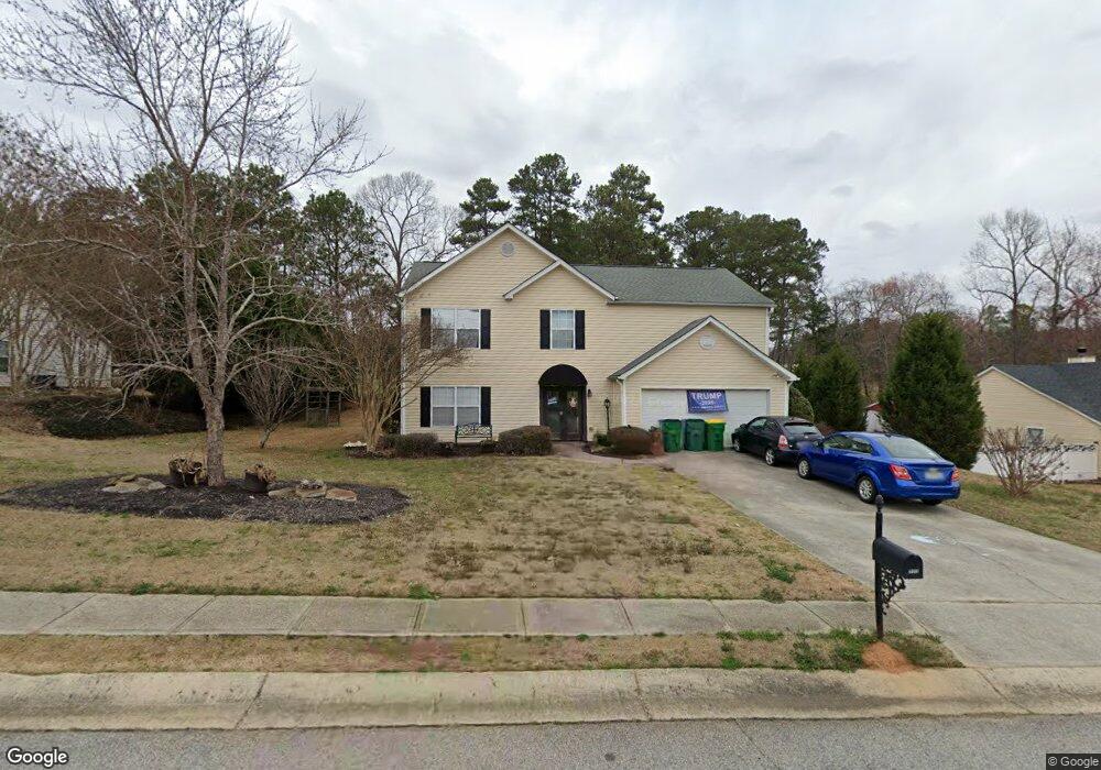
777 Baskins Cir Unit 3 Winder, GA 30680
Estimated Value: $345,244 - $389,000
--
Bed
3
Baths
2,368
Sq Ft
$156/Sq Ft
Est. Value
About This Home
This home is located at 777 Baskins Cir Unit 3, Winder, GA 30680 and is currently estimated at $368,311, approximately $155 per square foot. 777 Baskins Cir Unit 3 is a home located in Barrow County with nearby schools including County Line Elementary School, Russell Middle School, and Winder-Barrow High School.
Ownership History
Date
Name
Owned For
Owner Type
Purchase Details
Closed on
Sep 21, 2001
Sold by
Windward Homes
Bought by
Sheriff Dawn
Current Estimated Value
Home Financials for this Owner
Home Financials are based on the most recent Mortgage that was taken out on this home.
Original Mortgage
$141,396
Outstanding Balance
$54,655
Interest Rate
6.87%
Mortgage Type
FHA
Estimated Equity
$313,656
Create a Home Valuation Report for This Property
The Home Valuation Report is an in-depth analysis detailing your home's value as well as a comparison with similar homes in the area
Home Values in the Area
Average Home Value in this Area
Purchase History
| Date | Buyer | Sale Price | Title Company |
|---|---|---|---|
| Sheriff Dawn | $143,700 | -- |
Source: Public Records
Mortgage History
| Date | Status | Borrower | Loan Amount |
|---|---|---|---|
| Open | Sheriff Dawn | $141,396 | |
| Closed | Sheriff Dawn | $141,396 |
Source: Public Records
Tax History Compared to Growth
Tax History
| Year | Tax Paid | Tax Assessment Tax Assessment Total Assessment is a certain percentage of the fair market value that is determined by local assessors to be the total taxable value of land and additions on the property. | Land | Improvement |
|---|---|---|---|---|
| 2024 | $3,182 | $115,840 | $27,200 | $88,640 |
| 2023 | $2,696 | $115,840 | $27,200 | $88,640 |
| 2022 | $2,874 | $87,686 | $22,800 | $64,886 |
| 2021 | $2,748 | $80,886 | $16,000 | $64,886 |
| 2020 | $2,266 | $68,965 | $14,000 | $54,965 |
| 2019 | $2,215 | $66,485 | $14,000 | $52,485 |
| 2018 | $2,127 | $64,085 | $11,600 | $52,485 |
| 2017 | $1,542 | $51,698 | $11,600 | $40,098 |
| 2016 | $1,492 | $48,244 | $11,600 | $36,644 |
| 2015 | $1,507 | $48,660 | $11,600 | $37,060 |
| 2014 | $1,392 | $45,850 | $6,860 | $38,990 |
| 2013 | -- | $43,403 | $6,860 | $36,543 |
Source: Public Records
Map
Nearby Homes
- 412 Regan Dr
- 746 Baskins Cir
- 980 Lake Rockwell Way
- 615 Wellington Dr
- 318 Ryan Rd
- The Paisley Plan at Rockwell Farms
- The Rockwell Plan at Rockwell Farms
- The Barnes Plan at Rockwell Farms
- The Reynolds Plan at Rockwell Farms
- The Austin Plan at Rockwell Farms
- The Logan Plan at Rockwell Farms
- The Rose II Plan at Rockwell Farms
- 563 Rockwell Church Rd NW
- 27 Creekside Dr
- 0 Gainesville Hwy Unit 10549985
- 926 Live Oak Ct Unit 2
- 615 Gainesville Hwy
- 0 Mulberry Cir Unit 10647438
- 401 N 5th Ave
- 0 E Northcrest Dr Unit 10648147
- 779 Baskins Cir Unit 38
- 779 Baskins Cir
- 779 Baskins Cir Unit 3
- 775 Baskins Cir
- 781 Baskins Cir Unit 3
- 776 Baskins Cir
- 778 Baskins Cir
- 774 Baskins Cir
- 773 Baskins Cir Unit 3
- 773 Baskins Cir
- 780 Baskins Cir
- 783 Baskins Cir Unit 3
- 772 Baskins Cir
- 782 Baskins Cir
- 782 Baskins Cir
- 420 Regan Dr Unit 4
- 418 Regan Dr
- 771 Baskins Cir Unit 3
- 785 Baskins Cir
- 416 Regan Dr