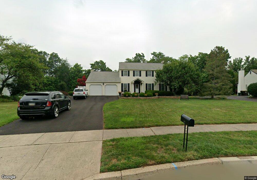
777 Collins Ave Lansdale, PA 19446
Estimated Value: $717,000 - $820,000
4
Beds
3
Baths
3,304
Sq Ft
$229/Sq Ft
Est. Value
About This Home
This home is located at 777 Collins Ave, Lansdale, PA 19446 and is currently estimated at $756,567, approximately $228 per square foot. 777 Collins Ave is a home located in Montgomery County with nearby schools including Gwynedd Square Elementary School, Penndale Middle School, and North Penn Senior High School.
Ownership History
Date
Name
Owned For
Owner Type
Purchase Details
Closed on
Aug 15, 2013
Sold by
Hass Jeffrey G and Hass Leslie Marie
Bought by
Hulmes David R and Hulmes Stacy P
Current Estimated Value
Home Financials for this Owner
Home Financials are based on the most recent Mortgage that was taken out on this home.
Original Mortgage
$305,280
Outstanding Balance
$226,299
Interest Rate
4.31%
Mortgage Type
New Conventional
Estimated Equity
$530,268
Purchase Details
Closed on
Jul 11, 1994
Sold by
Santacrose Andrew P and Santacrose Michelle A
Bought by
Hass Jeffrey G and Hass Leslie Marie
Create a Home Valuation Report for This Property
The Home Valuation Report is an in-depth analysis detailing your home's value as well as a comparison with similar homes in the area
Home Values in the Area
Average Home Value in this Area
Purchase History
| Date | Buyer | Sale Price | Title Company |
|---|---|---|---|
| Hulmes David R | $381,600 | None Available | |
| Hass Jeffrey G | $209,000 | -- |
Source: Public Records
Mortgage History
| Date | Status | Borrower | Loan Amount |
|---|---|---|---|
| Open | Hulmes David R | $305,280 |
Source: Public Records
Tax History Compared to Growth
Tax History
| Year | Tax Paid | Tax Assessment Tax Assessment Total Assessment is a certain percentage of the fair market value that is determined by local assessors to be the total taxable value of land and additions on the property. | Land | Improvement |
|---|---|---|---|---|
| 2025 | $7,818 | $213,110 | -- | -- |
| 2024 | $7,818 | $213,110 | -- | -- |
| 2023 | $7,452 | $213,110 | $0 | $0 |
| 2022 | $7,187 | $213,110 | $0 | $0 |
| 2021 | $6,998 | $213,110 | $0 | $0 |
| 2020 | $6,816 | $213,110 | $0 | $0 |
| 2019 | $6,691 | $213,110 | $0 | $0 |
| 2018 | $6,691 | $213,110 | $0 | $0 |
| 2017 | $6,410 | $213,110 | $0 | $0 |
| 2016 | $6,327 | $213,110 | $0 | $0 |
| 2015 | $6,041 | $213,110 | $0 | $0 |
| 2014 | $6,041 | $205,110 | $67,800 | $137,310 |
Source: Public Records
Map
Nearby Homes
- 781 Collins Ave
- 773 Collins Ave
- 776 Collins Ave
- 769 Collins Ave
- 1943 S Broad St
- 765 Collins Ave
- 764 Collins Ave
- 762 Grissom Dr
- 1939 S Broad St
- 761 Collins Ave
- 1935 S Broad St
- 760 Collins Ave
- 791 Collins Ave
- 1927 Enclave
- 1931 S Broad St
- 795 Hartley Dr
- 763 Grissom Dr
- 791 Hartley Dr
- 758 Grissom Dr
- 1944 S Broad St