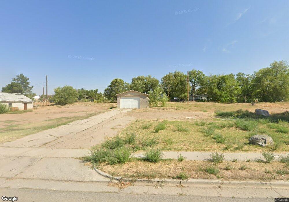
777 E 700 S Clearfield, UT 84015
Studio
--
Bath
1,152
Sq Ft
16,117
Sq Ft Lot
About This Home
This home is located at 777 E 700 S, Clearfield, UT 84015. 777 E 700 S is a home located in Davis County with nearby schools including South Clearfield Elementary School, North Davis Junior High School, and Clearfield High School.
Ownership History
Date
Name
Owned For
Owner Type
Purchase Details
Closed on
May 14, 2025
Sold by
Trade Space Llc
Bought by
Clearfield Retail Pads Llc
Purchase Details
Closed on
Dec 8, 2022
Sold by
Strebel Living Trust
Bought by
Trade Space Llc
Purchase Details
Closed on
Apr 4, 2022
Sold by
Clearfield Pipe Line Corporation
Bought by
South Clearfield Pipeline Company
Purchase Details
Closed on
Feb 7, 2011
Sold by
Evergreen Holding Llc
Bought by
Strebel Robert P and Strebel Joyce B
Purchase Details
Closed on
Nov 18, 2008
Sold by
Matheson Dwayne A
Bought by
Evergreen Holding Llc
Purchase Details
Closed on
Jun 4, 2002
Sold by
Strebel Robert P and Strebel Joyce B
Bought by
Matheson Dwayne A
Purchase Details
Closed on
Apr 3, 2002
Sold by
Rose Brent C and Rose Elizabeth D
Bought by
Strebel Robert P and Strebel Joyce B
Purchase Details
Closed on
Feb 5, 2002
Sold by
Rose Brent C and Rose Elizabeth D
Bought by
Rose Brent C and Rose Elizabeth D
Create a Home Valuation Report for This Property
The Home Valuation Report is an in-depth analysis detailing your home's value as well as a comparison with similar homes in the area
Home Values in the Area
Average Home Value in this Area
Purchase History
| Date | Buyer | Sale Price | Title Company |
|---|---|---|---|
| Clearfield Retail Pads Llc | -- | First American Title | |
| Trade Space Llc | -- | First American Title | |
| Trade Space Llc | -- | Cache Title | |
| South Clearfield Pipeline Company | -- | None Listed On Document | |
| Strebel Robert P | -- | Founders Title Co Layton | |
| Evergreen Holding Llc | -- | Founders Title Co Layton | |
| Matheson Dwayne A | -- | Founders Title Co | |
| Strebel Robert P | -- | Founders Title Co | |
| Rose Brent C | -- | -- |
Source: Public Records
Tax History
| Year | Tax Paid | Tax Assessment Tax Assessment Total Assessment is a certain percentage of the fair market value that is determined by local assessors to be the total taxable value of land and additions on the property. | Land | Improvement |
|---|---|---|---|---|
| 2025 | $2,581 | $231,330 | $220,803 | $10,527 |
| 2024 | $1,899 | $94,266 | $88,643 | $5,623 |
| 2023 | $1,664 | $83,374 | $77,563 | $5,811 |
| 2022 | $1,657 | $148,494 | $141,024 | $7,470 |
| 2021 | $2,484 | $184,960 | $184,460 | $500 |
| 2020 | $1,808 | $133,695 | $133,195 | $500 |
| 2019 | $1,831 | $133,695 | $133,195 | $500 |
| 2018 | $1,713 | $121,819 | $112,819 | $9,000 |
| 2016 | $1,802 | $121,819 | $112,819 | $9,000 |
| 2015 | $1,890 | $121,819 | $112,819 | $9,000 |
| 2014 | $1,865 | $121,819 | $112,819 | $9,000 |
| 2013 | -- | $105,000 | $101,700 | $3,300 |
Source: Public Records
Map
Nearby Homes
- 564 S 800 E
- 490 E 700 S Unit 524
- 490 E 700 S Unit C36
- 490 E 700 S Unit A2
- 490 E 700 S Unit D39
- 490 E 700 S Unit D42
- 490 E 700 S Unit D43
- 908 S 550 E
- 732 E 1000 S
- 897 E 1000 S
- 462 E London Way Unit 30
- 582 E 350 S
- 875 S Depot St Unit C307
- 875 S Depot St Unit A335
- 875 S Depot St Unit C301
- 875 S Depot St Unit B355
- 875 S Depot St Unit A238
- 833 S Cowans Ct
- 421 E Penny Ln
- 35 Airlane Dr
Your Personal Tour Guide
Ask me questions while you tour the home.