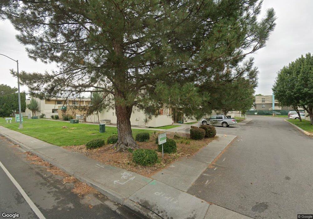
777 Mcmurray St Richland, WA 99354
Estimated Value: $174,000 - $260,000
3
Beds
1
Bath
938
Sq Ft
$222/Sq Ft
Est. Value
About This Home
This home is located at 777 Mcmurray St, Richland, WA 99354 and is currently estimated at $208,200, approximately $221 per square foot. 777 Mcmurray St is a home located in Benton County with nearby schools including Jason Lee Elementary School, Chief Joseph Middle School, and Richland High School.
Ownership History
Date
Name
Owned For
Owner Type
Purchase Details
Closed on
Oct 4, 2011
Sold by
El Dorado Properties Llc
Bought by
Zalud Robert J and Zalud Nancy L
Current Estimated Value
Home Financials for this Owner
Home Financials are based on the most recent Mortgage that was taken out on this home.
Original Mortgage
$2,100,000
Interest Rate
4.16%
Mortgage Type
Commercial
Purchase Details
Closed on
Sep 23, 2008
Sold by
Zalud Robert J and Zalud Nancy L
Bought by
Edt2017 Llc
Purchase Details
Closed on
Mar 25, 2005
Sold by
Mccalligan James A and Mccalligan Cherylyn A
Bought by
El Dorado Properties Llc
Create a Home Valuation Report for This Property
The Home Valuation Report is an in-depth analysis detailing your home's value as well as a comparison with similar homes in the area
Home Values in the Area
Average Home Value in this Area
Purchase History
| Date | Buyer | Sale Price | Title Company |
|---|---|---|---|
| Zalud Robert J | $2,897,500 | Benton Franklin Title Co | |
| Edt2017 Llc | -- | Benton Franklin Title Co | |
| El Dorado Properties Llc | -- | Chicago Title |
Source: Public Records
Mortgage History
| Date | Status | Borrower | Loan Amount |
|---|---|---|---|
| Previous Owner | Zalud Robert J | $2,100,000 |
Source: Public Records
Tax History Compared to Growth
Tax History
| Year | Tax Paid | Tax Assessment Tax Assessment Total Assessment is a certain percentage of the fair market value that is determined by local assessors to be the total taxable value of land and additions on the property. | Land | Improvement |
|---|---|---|---|---|
| 2024 | $939 | $92,240 | $3,640 | $88,600 |
| 2023 | $939 | $96,900 | $3,640 | $93,260 |
| 2022 | $1,090 | $96,660 | $3,400 | $93,260 |
| 2021 | $977 | $96,660 | $3,400 | $93,260 |
| 2020 | $774 | $85,000 | $3,400 | $81,600 |
| 2019 | $719 | $61,930 | $2,800 | $59,130 |
| 2018 | $818 | $61,930 | $2,800 | $59,130 |
| 2017 | $709 | $59,170 | $2,800 | $56,370 |
| 2016 | $653 | $59,170 | $2,800 | $56,370 |
| 2015 | $673 | $55,240 | $2,800 | $52,440 |
| 2014 | -- | $55,850 | $2,800 | $53,050 |
| 2013 | -- | $55,850 | $2,800 | $53,050 |
Source: Public Records
Map
Nearby Homes
- 1914 Mahan Ave
- 1962 Mahan Ave
- 1910 Forest Ave
- 1609 Judson Ave
- 1980 Forest Ave
- 515 Blue St
- 2021 Mahan Ave Unit J-6
- 2021 Mahan Ave Unit D8
- 2021 Mahan Ave Unit A5
- 2021 Mahan Ave Unit I8
- 2021 Mahan Ave Unit H-7
- 2021 Mahan Ave Unit G1
- 1948 Cypress Place
- 1412 Woodbury St
- 1603 Mahan Ave
- 517 Catskill St
- 1510 Wilson St
- 1511 Goethals Dr
- 78 Whitten St
- 1509 Kimball Ave
- 777 Mcmurray St
- 777 Mcmurray St
- 777 Mcmurray St
- 777 Mcmurray St
- 777 Mcmurray St
- 777 Mcmurray St
- 777 Mcmurray St
- 777 Mcmurray St
- 777 Mcmurray St
- 777 Mcmurray St
- 777 Mcmurray St
- 777 Mcmurray St
- 777 Mcmurray St
- 777 Mcmurray St
- 777 Mcmurray St
- 777 Mcmurray St
- 777 Mcmurray St
- 777 Mcmurray St
- 1851 Jadwin Ave
- 1933 Jadwin Ave