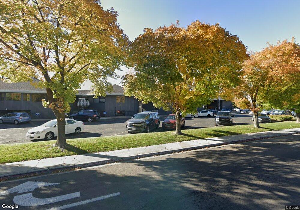
777 N 500 W Unit A-2 Provo, UT 84601
Rivergrove NeighborhoodEstimated Value: $449,339
--
Bed
--
Bath
2,230
Sq Ft
$201/Sq Ft
Est. Value
About This Home
This home is located at 777 N 500 W Unit A-2, Provo, UT 84601 and is currently estimated at $449,339, approximately $201 per square foot. 777 N 500 W Unit A-2 is a home located in Utah County with nearby schools including Timpanogos Elementary School, Dixon Middle School, and Provo High School.
Ownership History
Date
Name
Owned For
Owner Type
Purchase Details
Closed on
Nov 15, 2010
Sold by
Weber John P
Bought by
Weber John P and Weber Gayle K
Current Estimated Value
Purchase Details
Closed on
Aug 5, 2010
Sold by
Call R Reed
Bought by
Careed Lp
Purchase Details
Closed on
Sep 16, 2008
Sold by
Call Carolyn B
Bought by
Call R Reed
Purchase Details
Closed on
May 8, 2000
Sold by
Reiser Richard E and Reiser Frances A
Bought by
Weber John P
Create a Home Valuation Report for This Property
The Home Valuation Report is an in-depth analysis detailing your home's value as well as a comparison with similar homes in the area
Home Values in the Area
Average Home Value in this Area
Purchase History
| Date | Buyer | Sale Price | Title Company |
|---|---|---|---|
| Weber John P | -- | Pro Title & Escrow Inc | |
| Weber John P | -- | Pro Title & Escrow Inc | |
| Careed Lp | -- | None Available | |
| Call R Reed | -- | Old Republic Title Company | |
| Weber John P | -- | Empire Land Title Company |
Source: Public Records
Mortgage History
| Date | Status | Borrower | Loan Amount |
|---|---|---|---|
| Closed | Weber John P | $0 |
Source: Public Records
Tax History Compared to Growth
Tax History
| Year | Tax Paid | Tax Assessment Tax Assessment Total Assessment is a certain percentage of the fair market value that is determined by local assessors to be the total taxable value of land and additions on the property. | Land | Improvement |
|---|---|---|---|---|
| 2025 | $4,124 | $365,300 | $64,100 | $301,200 |
| 2024 | $4,124 | $405,900 | $0 | $0 |
| 2023 | $4,169 | $404,600 | $0 | $0 |
| 2022 | $2,004 | $196,100 | $62,700 | $133,400 |
| 2021 | $2,089 | $196,100 | $62,700 | $133,400 |
| 2020 | $2,229 | $196,100 | $62,700 | $133,400 |
| 2019 | $2,143 | $196,100 | $62,700 | $133,400 |
| 2018 | $2,113 | $196,100 | $62,700 | $133,400 |
| 2017 | $2,115 | $196,100 | $0 | $0 |
| 2016 | $2,555 | $220,800 | $0 | $0 |
| 2015 | $2,528 | $220,800 | $0 | $0 |
| 2014 | $2,425 | $220,800 | $0 | $0 |
Source: Public Records
Map
Nearby Homes
- 777 N 500 W Unit 103
- 777 N 500 W Unit F-1
- 777 N 500 W Unit 5
- 777 N 500 W Unit E
- 777 N 500 W Unit 3
- 777 N 500 W Unit 1
- 777 N 500 W Unit 104
- 777 N 500 W
- 559 W 800 St N Unit 18
- 805 N 500 W
- 821 N 500 W
- 734 N 600 W
- 756 N 500 W
- 556 W 800 N Unit 19
- 556 W 800 N
- 556 W 800 N
- 556 W 800 N
- 556 W 800 N Unit 15
- 556 W 800 N
- 556 W 800 N Unit 13