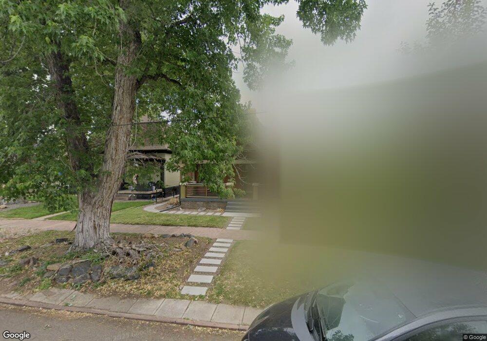
777 S Logan St Denver, CO 80209
Washington Park West NeighborhoodEstimated Value: $970,179 - $1,136,000
1
Bed
1
Bath
--
Sq Ft
3,703
Sq Ft Lot
About This Home
This home is located at 777 S Logan St, Denver, CO 80209 and is currently estimated at $1,033,795. 777 S Logan St is a home located in Denver County with nearby schools including Lincoln Elementary School, Grant Beacon Middle School, and South High School.
Ownership History
Date
Name
Owned For
Owner Type
Purchase Details
Closed on
Oct 4, 2024
Sold by
Flywheel Sfr Fund I Borrower Llc
Bought by
Ff I Borrower Ii Llc
Current Estimated Value
Purchase Details
Closed on
Mar 24, 2022
Sold by
Dewey Todd A
Bought by
Flywheel Sfr Fund I Borrower Llc
Purchase Details
Closed on
Jun 28, 2016
Sold by
Dewey Todd A
Bought by
Dewey Todd A and Dewey Reese Roxanne Ogden
Purchase Details
Closed on
Sep 25, 2015
Sold by
Keris Brian E
Bought by
Dewey Todd A
Home Financials for this Owner
Home Financials are based on the most recent Mortgage that was taken out on this home.
Original Mortgage
$549,000
Interest Rate
3.97%
Mortgage Type
New Conventional
Purchase Details
Closed on
Aug 4, 2011
Sold by
Kf Colorado Group Llc
Bought by
Kerls Brian E
Purchase Details
Closed on
Aug 22, 2007
Sold by
Moore Scott Thomas
Bought by
Kf Colorado Group Llc
Home Financials for this Owner
Home Financials are based on the most recent Mortgage that was taken out on this home.
Original Mortgage
$371,552
Interest Rate
6.72%
Mortgage Type
Construction
Purchase Details
Closed on
Feb 20, 1998
Sold by
Ricker Elizabeth J
Bought by
Moore Scott Thomas
Home Financials for this Owner
Home Financials are based on the most recent Mortgage that was taken out on this home.
Original Mortgage
$147,250
Interest Rate
7.13%
Create a Home Valuation Report for This Property
The Home Valuation Report is an in-depth analysis detailing your home's value as well as a comparison with similar homes in the area
Home Values in the Area
Average Home Value in this Area
Purchase History
| Date | Buyer | Sale Price | Title Company |
|---|---|---|---|
| Ff I Borrower Ii Llc | -- | None Listed On Document | |
| Flywheel Sfr Fund I Borrower Llc | $1,000,000 | None Listed On Document | |
| Dewey Todd A | -- | None Available | |
| Dewey Todd A | $610,000 | Stewart Title | |
| Kerls Brian E | -- | Fidelity National Title Insu | |
| Kf Colorado Group Llc | $375,000 | Land Title | |
| Moore Scott Thomas | $155,000 | -- |
Source: Public Records
Mortgage History
| Date | Status | Borrower | Loan Amount |
|---|---|---|---|
| Previous Owner | Dewey Todd A | $549,000 | |
| Previous Owner | Kf Colorado Group Llc | $371,552 | |
| Previous Owner | Moore Scott Thomas | $147,250 |
Source: Public Records
Tax History Compared to Growth
Tax History
| Year | Tax Paid | Tax Assessment Tax Assessment Total Assessment is a certain percentage of the fair market value that is determined by local assessors to be the total taxable value of land and additions on the property. | Land | Improvement |
|---|---|---|---|---|
| 2024 | $5,162 | $65,170 | $13,670 | $51,500 |
| 2023 | $5,050 | $65,170 | $13,670 | $51,500 |
| 2022 | $4,120 | $51,810 | $18,000 | $33,810 |
| 2021 | $3,977 | $53,300 | $18,520 | $34,780 |
| 2020 | $3,567 | $48,080 | $17,200 | $30,880 |
| 2019 | $3,467 | $48,080 | $17,200 | $30,880 |
| 2018 | $3,424 | $44,260 | $14,650 | $29,610 |
| 2017 | $3,414 | $44,260 | $14,650 | $29,610 |
| 2016 | $3,128 | $38,360 | $13,253 | $25,107 |
| 2015 | $2,997 | $38,360 | $13,253 | $25,107 |
| 2014 | $2,877 | $34,640 | $7,992 | $26,648 |
Source: Public Records
Map
Nearby Homes
- 873 S Logan St
- 857 S Grant St
- 838 S Sherman St
- 760 S Pearl St
- 827 S Sherman St
- 730 S Sherman St
- 130 E Ohio Ave Unit 140
- 747 S Sherman St
- 969 S Pearl St Unit 204
- 912 S Washington St
- 623 S Logan St
- 1001 S Pennsylvania St Unit 1005
- 641 S Washington St
- 732 S Clarkson St
- 646 S Lincoln St
- 719 S Emerson St
- 995 S Clarkson St
- 888 S Emerson St
- 571 S Sherman St
- 569 S Sherman St
- 769 S Logan St
- 781 S Logan St
- 765 S Logan St
- 789 S Logan St
- 789 S Logan St
- 795 S Logan St
- 795 S Logan St
- 759 S Logan St
- 753 S Logan St Unit 755
- 780 S Logan St
- 774 S Grant St
- 772 S Logan St
- 784 S Logan St
- 766 S Logan St
- 780 S Grant St
- 776 S Grant St
- 768 S Grant St
- 772 S Grant St
- 747 S Logan St
- 792 S Logan St