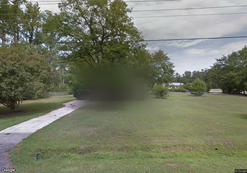
777 Saint Andrews Rd Florence, SC 29501
Estimated Value: $136,258 - $195,000
2
Beds
1
Bath
1,326
Sq Ft
$129/Sq Ft
Est. Value
About This Home
This home is located at 777 Saint Andrews Rd, Florence, SC 29501 and is currently estimated at $171,065, approximately $129 per square foot. 777 Saint Andrews Rd is a home located in Florence County with nearby schools including Carver Elementary School, Henry L. Sneed Middle School, and John W. Moore Middle School.
Ownership History
Date
Name
Owned For
Owner Type
Purchase Details
Closed on
Aug 21, 2009
Sold by
Moore Robert E and Moore Cecelia A
Bought by
Gba Ships Florence Inc
Current Estimated Value
Purchase Details
Closed on
Aug 23, 2005
Sold by
Thomas Clinton D and Thomas Kimberly M
Bought by
Moore Robert E and Moore Cecelia A
Home Financials for this Owner
Home Financials are based on the most recent Mortgage that was taken out on this home.
Original Mortgage
$78,100
Interest Rate
5.71%
Mortgage Type
New Conventional
Create a Home Valuation Report for This Property
The Home Valuation Report is an in-depth analysis detailing your home's value as well as a comparison with similar homes in the area
Home Values in the Area
Average Home Value in this Area
Purchase History
| Date | Buyer | Sale Price | Title Company |
|---|---|---|---|
| Gba Ships Florence Inc | $105,000 | -- | |
| Moore Robert E | $90,000 | -- |
Source: Public Records
Mortgage History
| Date | Status | Borrower | Loan Amount |
|---|---|---|---|
| Previous Owner | Moore Robert E | $78,100 |
Source: Public Records
Tax History Compared to Growth
Tax History
| Year | Tax Paid | Tax Assessment Tax Assessment Total Assessment is a certain percentage of the fair market value that is determined by local assessors to be the total taxable value of land and additions on the property. | Land | Improvement |
|---|---|---|---|---|
| 2024 | $237 | $5,808 | $518 | $5,290 |
| 2023 | $237 | $4,157,886 | $518,000 | $3,639,886 |
| 2022 | $0 | $4,158 | $518 | $3,640 |
| 2021 | $0 | $0 | $0 | $0 |
| 2020 | $0 | $0 | $0 | $0 |
| 2019 | $116 | $0 | $0 | $0 |
| 2018 | $100 | $0 | $0 | $0 |
| 2017 | $100 | $0 | $0 | $0 |
| 2016 | $0 | $0 | $0 | $0 |
| 2015 | -- | $0 | $0 | $0 |
| 2014 | -- | $0 | $0 | $0 |
Source: Public Records
Map
Nearby Homes
- 1732 Oakdale Terrace Blvd
- 1717 Oakdale Terrace Blvd
- 1718 Oakdale Terrace Blvd
- 941 Rice Planters Ln
- 3438 Hammock Ct
- 3507 Egret Dr
- 608 Stoneybrook Terrace
- 408 S Addison St
- 634 Stoneybrook Terrace
- 1002 Romsey Place
- 3844 W Lake Dr
- 3825 Charters Dr
- Everette Plan at The Grove
- Riviera Plan at The Grove
- Karamea Plan at The Grove
- Saluda Plan at The Grove
- Congaree Plan at The Grove
- Nile Plan at The Grove
- 3326 W Hampton Pointe Dr
- 992 Abigail Ct
- 987 Left Bank Dr
- 776 Saint Andrews Rd
- 768 Saint Andrews Rd
- 780 St Andrews Rd
- 780 Saint Andrews Rd
- 3608 Southborough Rd
- 3600 Southborough Rd
- 1727 B-2 Oakdale Terrace Blvd
- 762 Saint Andrews Rd
- 1727 Oakdale Terrace Blvd
- 3702 Southborough Rd
- 1726 Oakdale Terrace Blvd
- 1726 Oakdale Terrace Blvd
- 1726 Oakdale Terrace Blvd
- 1703 Oakdale Terrace Blvd
- 1728 Oakdale Terrace Blvd
- 1701 Oakdale Terrace - B
- 1701 Oakdale Terrace Blvd
- 1707 Oakdale Terrace Blvd
- 1707 Oakdale Terrace