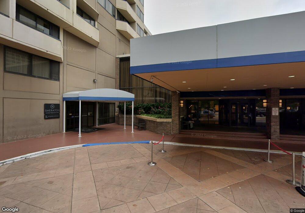
777 Waterside Dr Norfolk, VA 23510
Downtown Norfolk NeighborhoodEstimated Value: $62,654,888
--
Bed
--
Bath
323,520
Sq Ft
$194/Sq Ft
Est. Value
About This Home
This home is located at 777 Waterside Dr, Norfolk, VA 23510 and is currently estimated at $62,654,888, approximately $193 per square foot. 777 Waterside Dr is a home located in Norfolk City with nearby schools including P.B. Young Sr. Elementary School, Tidewater Park Elementary School, and Blair Middle School.
Ownership History
Date
Name
Owned For
Owner Type
Purchase Details
Closed on
Oct 5, 2006
Sold by
Norfolk Hospitality Llc
Bought by
Phf Ii Norfolk Llc
Current Estimated Value
Home Financials for this Owner
Home Financials are based on the most recent Mortgage that was taken out on this home.
Original Mortgage
$197,000,000
Outstanding Balance
$117,748,586
Interest Rate
6.49%
Mortgage Type
Commercial
Estimated Equity
-$55,093,698
Create a Home Valuation Report for This Property
The Home Valuation Report is an in-depth analysis detailing your home's value as well as a comparison with similar homes in the area
Home Values in the Area
Average Home Value in this Area
Purchase History
| Date | Buyer | Sale Price | Title Company |
|---|---|---|---|
| Phf Ii Norfolk Llc | $40,000,000 | -- |
Source: Public Records
Mortgage History
| Date | Status | Borrower | Loan Amount |
|---|---|---|---|
| Open | Phf Ii Norfolk Llc | $197,000,000 |
Source: Public Records
Tax History Compared to Growth
Tax History
| Year | Tax Paid | Tax Assessment Tax Assessment Total Assessment is a certain percentage of the fair market value that is determined by local assessors to be the total taxable value of land and additions on the property. | Land | Improvement |
|---|---|---|---|---|
| 2025 | $413,473 | $29,324,300 | $11,777,500 | $17,546,800 |
| 2024 | $260,545 | $18,478,400 | $11,777,500 | $6,700,900 |
| 2023 | $255,014 | $18,086,100 | $11,777,500 | $6,308,600 |
| 2022 | $247,596 | $17,560,000 | $11,777,500 | $5,782,500 |
| 2021 | $312,711 | $22,178,100 | $11,777,500 | $10,400,600 |
| 2020 | $384,367 | $27,260,100 | $11,777,500 | $15,482,600 |
| 2019 | $286,317 | $20,306,200 | $11,777,500 | $8,528,700 |
| 2018 | $316,612 | $27,531,500 | $9,422,000 | $18,109,500 |
| 2017 | $345,792 | $26,396,300 | $9,422,000 | $16,974,300 |
| 2016 | $342,193 | $32,069,700 | $8,894,200 | $23,175,500 |
| 2015 | $347,467 | $32,069,700 | $8,894,200 | $23,175,500 |
| 2014 | $347,467 | $32,069,700 | $8,894,200 | $23,175,500 |
Source: Public Records
Map
Nearby Homes
- Lot 67 Atlantic St Unit 67
- 219 Granby St Unit 22
- 241 Granby St Unit 40
- 215 Brooke Ave Unit 1004
- 123 College Place Unit 805
- 123 College Place Unit 1204
- 123 College Place Unit 1402
- 123 College Place Unit P6
- 230 W Tazewell St Unit 205
- 415 Saint Pauls Blvd Unit 509
- 415 Saint Pauls Blvd Unit 309
- 415 Saint Pauls Blvd Unit 202
- 415 Saint Pauls Blvd Unit 109
- 415 Saint Pauls Blvd Unit 709
- 435 E Freemason St Unit 3A
- 415 St Pauls Blvd Unit 105
- 301 Brooke Ave Unit 305
- 301 Brooke Ave Unit 103
- 301 Brooke Ave Unit 105
- 525 E Freemason St Unit 1A
- 333 Waterside Dr
- 888 Waterside Dr
- 3 Commercial Place
- 400 Waterside Dr
- 50 Martins Ln
- 321 E Main St
- 321 E Main St
- 235 E Main St
- 2 Commercial Place
- 251 Waterside Dr
- 999 Waterside Dr
- 215 E Main St
- 246 E Main St
- 236 E Main St
- 230 E Main St
- 238 E Main St
- 300 E Main St
- 224 E Main St
- 226 E Main St
- 201 Waterside Dr