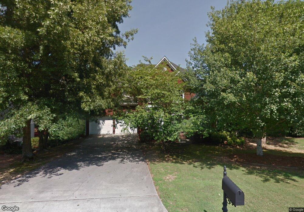
777 White Rock Trail Unit 2 Suwanee, GA 30024
Estimated Value: $574,346 - $631,000
4
Beds
3
Baths
2,574
Sq Ft
$237/Sq Ft
Est. Value
About This Home
This home is located at 777 White Rock Trail Unit 2, Suwanee, GA 30024 and is currently estimated at $609,837, approximately $236 per square foot. 777 White Rock Trail Unit 2 is a home located in Gwinnett County with nearby schools including Level Creek Elementary School, North Gwinnett Middle School, and North Gwinnett High School.
Ownership History
Date
Name
Owned For
Owner Type
Purchase Details
Closed on
Jul 28, 1998
Sold by
Sharp Development Inc
Bought by
Stygar Thomas S and Stygar Natalie L
Current Estimated Value
Home Financials for this Owner
Home Financials are based on the most recent Mortgage that was taken out on this home.
Original Mortgage
$174,400
Outstanding Balance
$36,446
Interest Rate
6.94%
Mortgage Type
New Conventional
Estimated Equity
$573,391
Create a Home Valuation Report for This Property
The Home Valuation Report is an in-depth analysis detailing your home's value as well as a comparison with similar homes in the area
Home Values in the Area
Average Home Value in this Area
Purchase History
| Date | Buyer | Sale Price | Title Company |
|---|---|---|---|
| Stygar Thomas S | $218,100 | -- |
Source: Public Records
Mortgage History
| Date | Status | Borrower | Loan Amount |
|---|---|---|---|
| Open | Stygar Thomas S | $174,400 |
Source: Public Records
Tax History Compared to Growth
Tax History
| Year | Tax Paid | Tax Assessment Tax Assessment Total Assessment is a certain percentage of the fair market value that is determined by local assessors to be the total taxable value of land and additions on the property. | Land | Improvement |
|---|---|---|---|---|
| 2024 | $743 | $201,840 | $25,480 | $176,360 |
| 2023 | $743 | $201,840 | $25,480 | $176,360 |
| 2022 | $1,684 | $182,760 | $25,480 | $157,280 |
| 2021 | $649 | $141,560 | $19,120 | $122,440 |
| 2020 | $1,338 | $130,760 | $19,120 | $111,640 |
| 2019 | $737 | $123,920 | $23,160 | $100,760 |
| 2018 | $737 | $94,560 | $21,080 | $73,480 |
| 2016 | $730 | $82,600 | $17,560 | $65,040 |
| 2015 | $799 | $82,600 | $17,560 | $65,040 |
| 2014 | $810 | $96,600 | $24,000 | $72,600 |
Source: Public Records
Map
Nearby Homes
- 4544 Silver Peak Pkwy
- 837 Village Manor Place
- 4335 Landover Way Unit 3
- 858 Red Rock Ct
- 755 Amberton Close Unit 2
- 735 Amberton Close
- 655 Grove Manor Ct
- 4569 Campenille Trace
- 1199 Bennett Creek Overlook
- 1179 Bennett Creek Overlook
- 1119 Bennett Creek Overlook
- 1309 Bennett Creek Overlook
- 4282 Goldfield Trace Unit 4
- 780 Village Field Ct
- 4592 Campenille Ct
- 1350 Peachtree Industrial Blvd
- 4339 Lansfaire Terrace Unit 4
- 787 White Rock Trail
- 767 White Rock Trail
- 0 White Rock Trail Unit 8058737
- 0 White Rock Trail Unit 7427002
- 797 White Rock Trail
- 757 White Rock Trail
- 772 White Rock Trail
- 792 White Rock Trail
- 752 White Rock Trail Unit 2
- 747 White Rock Trail
- 807 White Rock Trail Unit 2
- 802 White Rock Trail
- 4554 Silver Peak Pkwy Unit 46
- 4554 Silver Peak Pkwy Unit 2
- 4544 Silver Peak Pkwy Unit 47
- 742 White Rock Trail
- 4314 Aldenham Way Unit 5
- 4564 Silver Peak Pkwy Unit 2
- 817 White Rock Trail Unit 2
- 4534 Silver Peak Pkwy