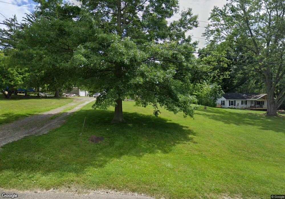
7770 Mctaggart Rd NW Canal Fulton, OH 44614
Estimated Value: $153,064 - $202,000
2
Beds
1
Bath
1,040
Sq Ft
$174/Sq Ft
Est. Value
About This Home
This home is located at 7770 Mctaggart Rd NW, Canal Fulton, OH 44614 and is currently estimated at $181,016, approximately $174 per square foot. 7770 Mctaggart Rd NW is a home located in Stark County with nearby schools including W.S. Stinson Elementary School, Northwest Primary School, and Northwest Middle School.
Ownership History
Date
Name
Owned For
Owner Type
Purchase Details
Closed on
Oct 4, 2023
Sold by
Equity Trust
Bought by
Evans James
Current Estimated Value
Purchase Details
Closed on
Oct 29, 2010
Sold by
Church Lisa J and Church Jimmie G
Bought by
Equity Trust Company and 13490 Ira
Purchase Details
Closed on
Jan 20, 1993
Create a Home Valuation Report for This Property
The Home Valuation Report is an in-depth analysis detailing your home's value as well as a comparison with similar homes in the area
Home Values in the Area
Average Home Value in this Area
Purchase History
| Date | Buyer | Sale Price | Title Company |
|---|---|---|---|
| Evans James | -- | None Listed On Document | |
| Equity Trust Company | $29,000 | Attorney | |
| -- | $46,000 | -- |
Source: Public Records
Tax History Compared to Growth
Tax History
| Year | Tax Paid | Tax Assessment Tax Assessment Total Assessment is a certain percentage of the fair market value that is determined by local assessors to be the total taxable value of land and additions on the property. | Land | Improvement |
|---|---|---|---|---|
| 2025 | -- | $39,210 | $19,990 | $19,220 |
| 2024 | -- | $39,210 | $19,990 | $19,220 |
| 2023 | $1,488 | $31,960 | $16,140 | $15,820 |
| 2022 | $1,492 | $31,960 | $16,140 | $15,820 |
| 2021 | $1,496 | $31,960 | $16,140 | $15,820 |
| 2020 | $1,309 | $25,030 | $13,020 | $12,010 |
| 2019 | $1,319 | $25,030 | $13,020 | $12,010 |
| 2018 | $1,291 | $25,030 | $13,020 | $12,010 |
| 2017 | $1,088 | $19,890 | $9,280 | $10,610 |
| 2016 | $1,094 | $19,890 | $9,280 | $10,610 |
| 2015 | $1,097 | $19,890 | $9,280 | $10,610 |
| 2014 | $1,106 | $18,520 | $8,650 | $9,870 |
| 2013 | $547 | $18,520 | $8,650 | $9,870 |
Source: Public Records
Map
Nearby Homes
- 7709 Brownwood Ave NW
- 8257 Akron Ave NW
- 9691 Emerald Brook Cir NW
- 8470 Shadyview Ave NW
- 11391 Michelle Dr NW
- 10778 Yare Cir NW
- 9125 Paulding St NW
- 963 Saint Brendan Dr
- 10411 Scatell St NW
- 0 Babst Ave NW
- 0 Lafayette Dr NW
- 9042 Wolocott St NW
- Asheville Plan at Heritage Park
- 8932 Franklin St NW
- Boise Plan at Heritage Park
- 7622 Greenview Ave NW
- 768 Beverly Ave
- 8785 Strausser St NW
- 0 W Comet Rd Unit 5079117
- 8932 Camden Rd NW
- 7750 Mctaggart Rd NW
- 7730 Mctaggart Rd NW
- 7769 Mctaggart Rd NW
- 7735 Mctaggart Rd NW
- 10434 Strausser St NW
- 7710 Mctaggart Rd NW
- 7723 Mctaggart Rd NW
- 7781 Mctaggart Rd NW
- 7777 Arthur Ave NW
- 7747 Arthur Ave NW
- 7672 Mctaggart Rd NW
- 10420 Strausser St NW
- 7723 Arthur Ave NW
- 10366 Strausser St NW
- 7821 Arthur Ave NW
- 7677 Mctaggart Rd NW
- 7701 Arthur Ave NW
- 10382 Strausser St NW
- 0 Mctaggart Rd NW
- 107 Mctaggart Rd NW