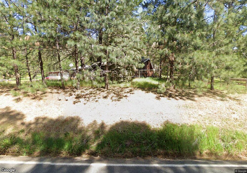
7772 Riverbanks Rd Grants Pass, OR 97527
Estimated Value: $790,931 - $869,000
3
Beds
3
Baths
2,884
Sq Ft
$288/Sq Ft
Est. Value
About This Home
This home is located at 7772 Riverbanks Rd, Grants Pass, OR 97527 and is currently estimated at $829,966, approximately $287 per square foot. 7772 Riverbanks Rd is a home located in Josephine County with nearby schools including Ft. Vannoy Elementary School, Fleming Middle School, and North Valley High School.
Ownership History
Date
Name
Owned For
Owner Type
Purchase Details
Closed on
Feb 24, 2011
Sold by
Bank Of America National Association
Bought by
Mcdonnell Daniel M and Mcdonnell Cora
Current Estimated Value
Home Financials for this Owner
Home Financials are based on the most recent Mortgage that was taken out on this home.
Original Mortgage
$255,833
Outstanding Balance
$180,300
Interest Rate
5.5%
Mortgage Type
FHA
Estimated Equity
$649,666
Purchase Details
Closed on
May 11, 2010
Sold by
Howell Linda L and Howell Donald J
Bought by
Bank Of America National Association
Create a Home Valuation Report for This Property
The Home Valuation Report is an in-depth analysis detailing your home's value as well as a comparison with similar homes in the area
Home Values in the Area
Average Home Value in this Area
Purchase History
| Date | Buyer | Sale Price | Title Company |
|---|---|---|---|
| Mcdonnell Daniel M | $262,500 | Fa | |
| Bank Of America National Association | $335,000 | Fa |
Source: Public Records
Mortgage History
| Date | Status | Borrower | Loan Amount |
|---|---|---|---|
| Open | Mcdonnell Daniel M | $255,833 |
Source: Public Records
Tax History Compared to Growth
Tax History
| Year | Tax Paid | Tax Assessment Tax Assessment Total Assessment is a certain percentage of the fair market value that is determined by local assessors to be the total taxable value of land and additions on the property. | Land | Improvement |
|---|---|---|---|---|
| 2025 | $2,808 | $409,440 | -- | -- |
| 2024 | $2,808 | $377,940 | -- | -- |
| 2023 | $2,367 | $366,940 | $0 | $0 |
| 2022 | $2,317 | $356,260 | -- | -- |
| 2021 | $2,171 | $345,890 | $0 | $0 |
| 2020 | $2,265 | $335,820 | $0 | $0 |
| 2019 | $2,114 | $316,720 | $0 | $0 |
| 2018 | $2,143 | $307,500 | $0 | $0 |
| 2017 | $2,143 | $298,550 | $0 | $0 |
| 2016 | $1,816 | $289,860 | $0 | $0 |
| 2015 | $1,753 | $281,420 | $0 | $0 |
| 2014 | $1,708 | $273,220 | $0 | $0 |
Source: Public Records
Map
Nearby Homes
- 503 Quail Ln
- 175 Quail Ln
- 268 Pickett Creek Rd
- 123 Rogue Riffle Dr
- 1080 Ferry Rd
- 12370 Lower River Rd
- 876 Ferry
- 925 Ferry Rd
- 0 Ferry Rd Unit 104
- 11990 Artlin Rd
- 900 Shadow Hills Dr
- 484 Shadow Hills Dr
- 145 Griffin Rd
- 10523 Lower River Rd
- 10511 Lower River Rd
- 198 Rossier Ln
- 10517 Lower River Rd
- 211 Peaceful Valley Ln
- 2410 Robertson Bridge Rd
- 151 Ewe Creek Rd
- 7774 Riverbanks Rd
- 7726 Riverbanks Rd
- 7776 Riverbanks Rd
- 7790 Riverbanks Rd
- 7722 Riverbanks Rd
- 7770 Riverbanks Rd
- 8448 Riverbanks Rd
- 7700 Riverbanks Rd
- 151 Burnette Rd
- 171 Burnette Rd
- 8233 Riverbanks Rd
- 203 Burnette Rd
- 7670 Riverbanks Rd
- 361 Burnette Rd
- 243 Burnette Rd
- 225 Burnette Rd
- 8484 Riverbanks Rd
- 267 Burnette Rd
- 299 Burnette Rd