7774 Bircklan Dr Canton, MI 48187
Estimated Value: $434,597 - $494,000
--
Bed
2
Baths
1,762
Sq Ft
$270/Sq Ft
Est. Value
About This Home
This home is located at 7774 Bircklan Dr, Canton, MI 48187 and is currently estimated at $475,399, approximately $269 per square foot. 7774 Bircklan Dr is a home located in Wayne County with nearby schools including Canton High School, Isbister Elementary School, and Plymouth High School.
Ownership History
Date
Name
Owned For
Owner Type
Purchase Details
Closed on
Oct 4, 2019
Sold by
Espinoza Amy L
Bought by
Espinoza Amy L and Longsdorf Micheal Larry
Current Estimated Value
Home Financials for this Owner
Home Financials are based on the most recent Mortgage that was taken out on this home.
Original Mortgage
$216,900
Outstanding Balance
$190,015
Interest Rate
3.5%
Mortgage Type
New Conventional
Estimated Equity
$285,384
Purchase Details
Closed on
Dec 15, 2017
Sold by
Strang Robert W and Hawkins Karen
Bought by
Espinoza Amy L
Purchase Details
Closed on
Mar 4, 2010
Sold by
Strang Robert G and Strang Alva B
Bought by
Strang Robert W
Create a Home Valuation Report for This Property
The Home Valuation Report is an in-depth analysis detailing your home's value as well as a comparison with similar homes in the area
Home Values in the Area
Average Home Value in this Area
Purchase History
| Date | Buyer | Sale Price | Title Company |
|---|---|---|---|
| Espinoza Amy L | -- | None Available | |
| Espinoza Amy L | $276,180 | None Available | |
| Strang Robert W | -- | None Available |
Source: Public Records
Mortgage History
| Date | Status | Borrower | Loan Amount |
|---|---|---|---|
| Open | Espinoza Amy L | $216,900 |
Source: Public Records
Tax History Compared to Growth
Tax History
| Year | Tax Paid | Tax Assessment Tax Assessment Total Assessment is a certain percentage of the fair market value that is determined by local assessors to be the total taxable value of land and additions on the property. | Land | Improvement |
|---|---|---|---|---|
| 2025 | $3,142 | $217,000 | $0 | $0 |
| 2024 | $3,142 | $199,400 | $0 | $0 |
| 2023 | $2,995 | $186,800 | $0 | $0 |
| 2022 | $6,488 | $164,700 | $0 | $0 |
| 2021 | $6,296 | $174,000 | $0 | $0 |
| 2020 | $6,217 | $168,100 | $0 | $0 |
| 2019 | $6,106 | $163,820 | $0 | $0 |
| 2018 | $2,546 | $144,520 | $0 | $0 |
| 2017 | $4,690 | $136,400 | $0 | $0 |
| 2016 | $4,191 | $136,500 | $0 | $0 |
| 2015 | $10,471 | $119,220 | $0 | $0 |
| 2013 | $10,144 | $104,920 | $0 | $0 |
| 2010 | -- | $103,610 | $83,217 | $20,393 |
Source: Public Records
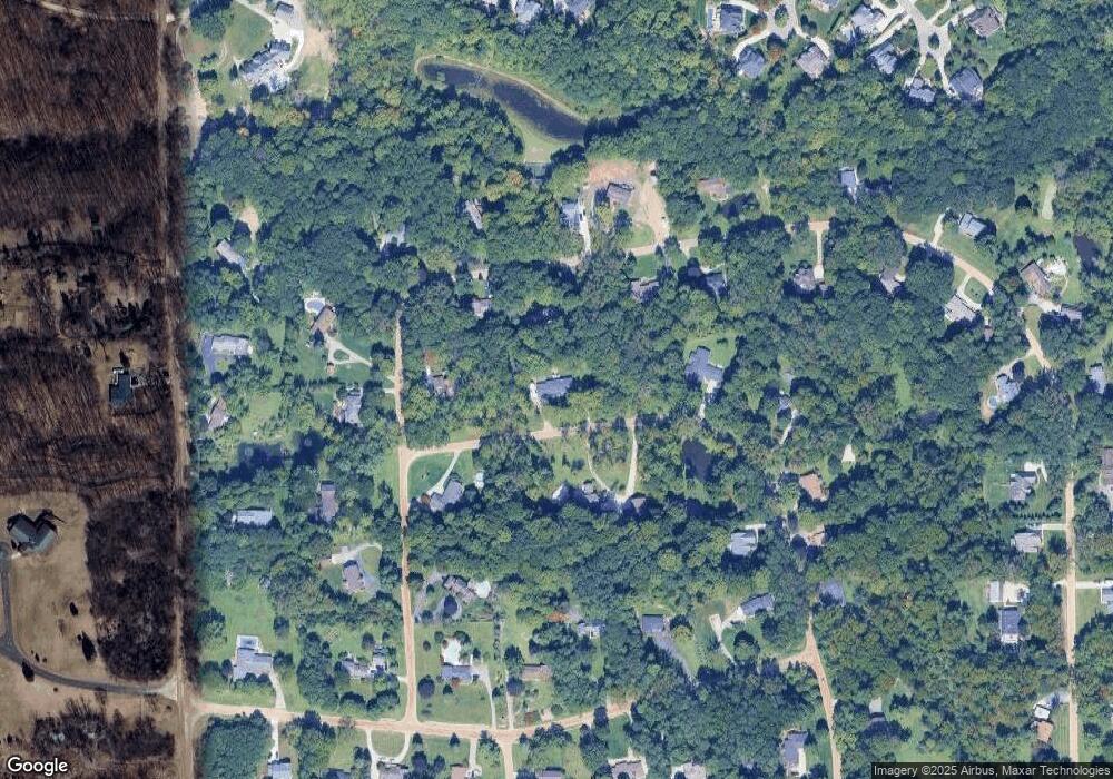
Map
Nearby Homes
- 1526 Hickory Ridge Ct S
- 7470 Thornwood St
- 4745 Napier Ct
- 7319 Haverhill Ct S
- 7809 Haverhill Ct N
- 8542 Newbury Ct N Unit 94
- 50157 E Fellows Creek Ct
- 50045 E Fellows Creek Ct
- 48406 Warren Rd
- 49068 Poppleton Ct
- 50723 Auburndale Ct
- 9079 Woodgrove Dr
- 9377 Pineview Dr
- 6894 Kings Mill Dr
- 50145 Ford Rd
- 9539 Hillcrest Dr
- 9875 Ann Arbor Trail
- 11641 Chandler Dr
- 5922 Valley View Dr
- 6680 Kings Mill Dr
- 7891 Thornwood St
- 7750 Bircklan Dr
- 7796 Bircklan Dr
- 7909 Thornwood St
- 7875 Thornwood St
- 7765 Bircklan Dr
- 7888 Thornwood St
- 7904 Thornwood St
- 7691 Bircklan Dr
- 7872 Thornwood St
- 7857 Thornwood St
- 7952 Thornwood St
- 7920 Thornwood St
- 7936 Thornwood St
- 7987 Thornwood St
- 7968 Thornwood St
- 7702 Bircklan Dr
- 50920 Murray Hill Dr
- 50880 Murray Hill Dr
- 7856 Thornwood St