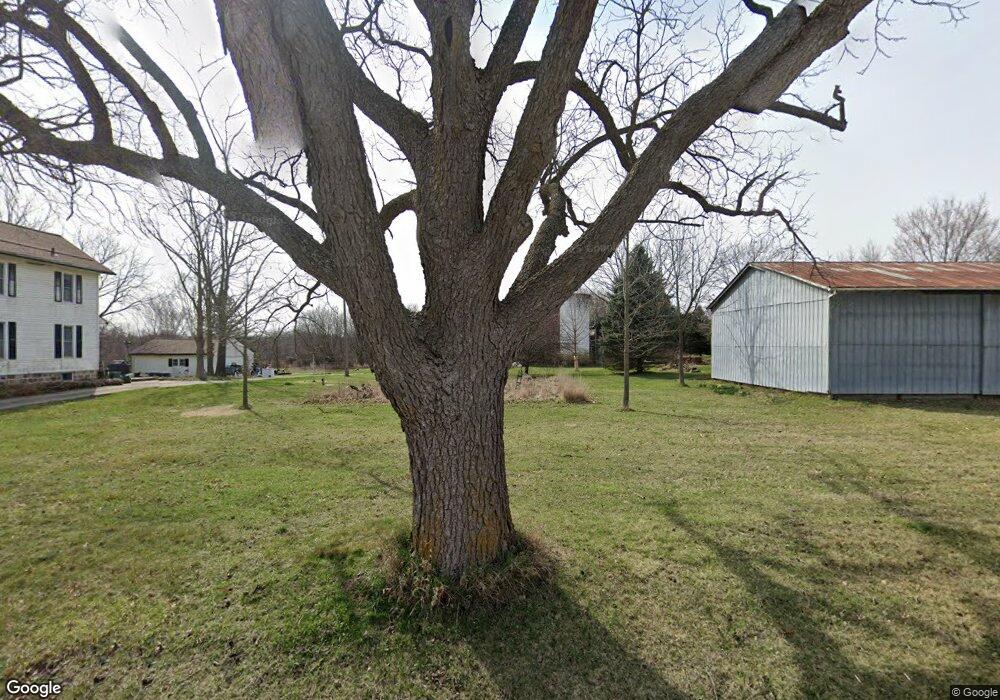
7777 Sutton Rd South Lyon, MI 48178
Estimated Value: $602,752 - $622,000
3
Beds
1
Bath
2,151
Sq Ft
$283/Sq Ft
Est. Value
About This Home
This home is located at 7777 Sutton Rd, South Lyon, MI 48178 and is currently estimated at $609,251, approximately $283 per square foot. 7777 Sutton Rd is a home located in Washtenaw County with nearby schools including Salem Elementary School, Millennium Middle School, and South Lyon East High School.
Ownership History
Date
Name
Owned For
Owner Type
Purchase Details
Closed on
Dec 1, 1994
Sold by
Busch Ford H
Bought by
Nelson James G and Johnson Katherine
Current Estimated Value
Home Financials for this Owner
Home Financials are based on the most recent Mortgage that was taken out on this home.
Original Mortgage
$200,000
Outstanding Balance
$4,676
Interest Rate
8.88%
Mortgage Type
New Conventional
Estimated Equity
$604,575
Create a Home Valuation Report for This Property
The Home Valuation Report is an in-depth analysis detailing your home's value as well as a comparison with similar homes in the area
Home Values in the Area
Average Home Value in this Area
Purchase History
| Date | Buyer | Sale Price | Title Company |
|---|---|---|---|
| Nelson James G | -- | -- |
Source: Public Records
Mortgage History
| Date | Status | Borrower | Loan Amount |
|---|---|---|---|
| Open | Nelson James G | $200,000 |
Source: Public Records
Tax History Compared to Growth
Tax History
| Year | Tax Paid | Tax Assessment Tax Assessment Total Assessment is a certain percentage of the fair market value that is determined by local assessors to be the total taxable value of land and additions on the property. | Land | Improvement |
|---|---|---|---|---|
| 2025 | $6,294 | $239,000 | $0 | $0 |
| 2024 | $3,568 | $226,500 | $0 | $0 |
| 2023 | $3,401 | $203,400 | $0 | $0 |
| 2022 | $4,927 | $187,000 | $0 | $0 |
| 2021 | $4,848 | $181,100 | $0 | $0 |
| 2020 | $4,820 | $178,900 | $0 | $0 |
| 2019 | $4,816 | $175,800 | $175,800 | $0 |
| 2018 | $4,749 | $170,800 | $0 | $0 |
| 2017 | $4,693 | $167,400 | $0 | $0 |
| 2016 | $3,272 | $129,429 | $0 | $0 |
| 2015 | -- | $129,042 | $0 | $0 |
| 2014 | -- | $125,010 | $0 | $0 |
| 2013 | -- | $125,010 | $0 | $0 |
Source: Public Records
Map
Nearby Homes
- 0 Buckland Dr
- 8655 Buckland Dr
- 00 Spencer Rd
- 9310 S Rushton Rd
- 1960 E North Territorial Rd
- 1161 7 Mile Rd
- 9240 Earhart Rd
- 8951 Posey Dr
- 0 Six Mile Unit 25038336
- 0 Six Mile Unit 20251006647
- 9088 Posey Dr Unit 95
- 286 Waterlily
- 424 E Shore Dr
- 64164 W 8 Mile Rd
- 6211 Nollar Rd
- 5909 Earhart Rd
- 294 E Shore Dr
- 405 Six Mile Rd
- 11433 Marshall Rd
- 5700 7 Mile Rd
- 7789 Sutton Rd
- 2840 Six Mile Rd
- 2840 6 Mile Rd
- 2695 White Tail Ct
- 2800 6 Mile Rd
- 2800 6 Mile Rd
- 3150 6 Mile Rd
- 2935 6 Mile Rd
- 2935 6 Mile Rd
- 7701 Sutton Rd
- 2650 6 Mile Rd
- 2680 White Tail Ct
- 2650 White Tail Ct
- 2685 6 Mile Rd
- 3051 6 Mile Rd
- 2550 6 Mile Rd Unit Bldg-Unit
- 2550 6 Mile Rd
- 7515 Sutton Rd
- 7516 Sutton Rd
- 3105 6 Mile Rd
