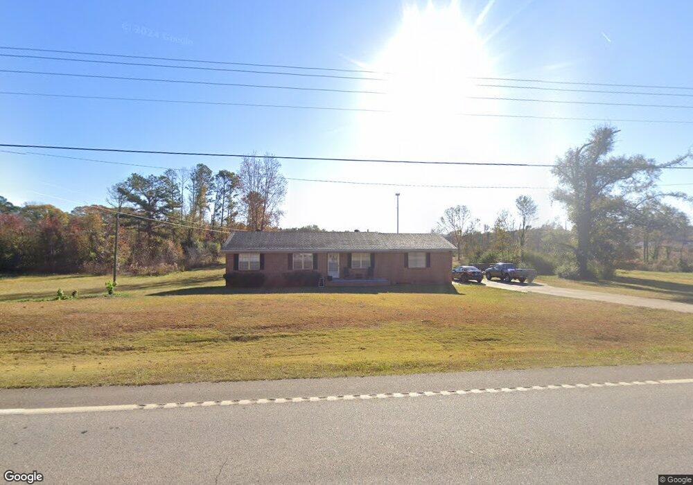
7779 Westpoint Rd West Point, GA 31833
Estimated Value: $149,000 - $202,000
3
Beds
2
Baths
1,296
Sq Ft
$129/Sq Ft
Est. Value
About This Home
This home is located at 7779 Westpoint Rd, West Point, GA 31833 and is currently estimated at $167,068, approximately $128 per square foot. 7779 Westpoint Rd is a home located in Troup County with nearby schools including West Point Elementary School, Long Cane Elementary School, and Berta Weathersbee Elementary School.
Ownership History
Date
Name
Owned For
Owner Type
Purchase Details
Closed on
Apr 13, 1999
Sold by
Thompkins Jas
Bought by
Burton Robin A
Current Estimated Value
Purchase Details
Closed on
Dec 6, 1996
Sold by
Fannie Mae Thompkins
Bought by
Thompkins Jas
Purchase Details
Closed on
Nov 1, 1986
Sold by
Fannie Tompkins J and Fannie Mae
Bought by
Fannie Mae Thompkins
Purchase Details
Closed on
Sep 6, 1972
Bought by
Fannie Tompkins J and Fannie Mae
Create a Home Valuation Report for This Property
The Home Valuation Report is an in-depth analysis detailing your home's value as well as a comparison with similar homes in the area
Home Values in the Area
Average Home Value in this Area
Purchase History
| Date | Buyer | Sale Price | Title Company |
|---|---|---|---|
| Burton Robin A | $68,000 | -- | |
| Thompkins Jas | -- | -- | |
| Fannie Mae Thompkins | -- | -- | |
| Fannie Tompkins J | -- | -- |
Source: Public Records
Tax History
| Year | Tax Paid | Tax Assessment Tax Assessment Total Assessment is a certain percentage of the fair market value that is determined by local assessors to be the total taxable value of land and additions on the property. | Land | Improvement |
|---|---|---|---|---|
| 2025 | $1,521 | $61,240 | $3,760 | $57,480 |
| 2024 | $1,350 | $51,480 | $3,760 | $47,720 |
| 2023 | $476 | $37,360 | $3,760 | $33,600 |
| 2022 | $1,043 | $39,360 | $3,760 | $35,600 |
| 2021 | $803 | $28,600 | $3,280 | $25,320 |
| 2020 | $803 | $28,600 | $3,280 | $25,320 |
| 2019 | $720 | $25,872 | $3,272 | $22,600 |
| 2018 | $659 | $23,832 | $3,272 | $20,560 |
| 2017 | $659 | $23,832 | $3,272 | $20,560 |
| 2016 | $638 | $23,133 | $3,272 | $19,861 |
| 2015 | $639 | $23,133 | $3,272 | $19,861 |
| 2014 | $609 | $22,088 | $3,272 | $18,816 |
| 2013 | -- | $23,404 | $3,272 | $20,132 |
Source: Public Records
Map
Nearby Homes
- 206 Ann Murphy Rd
- 0 Ga Highway 0116 Unit 10619139
- 1903 Ridgewood Dr
- 508 Pine St
- 1800 Malco Dr
- 0 Sunset Dr Unit 10451831
- 4517 Georgia 18
- 4509 Georgia 18
- 4523 Georgia 18
- 4527 Georgia 18
- 1314 4th Ave
- 1202 E 9th St
- 0 Arrowhead Dr Unit 10451860
- 1104 E 8th St
- 713 Avenue H
- 1007 4th Ave
- 1095 County Road 212
- 1111 County Road 212
- 1105 E 7th St
- 509 Cleveland St
- 7797 Westpoint Rd
- 7797 W Point Rd
- 7809 Westpoint Rd
- 7770 Westpoint Rd
- 7770 Westpoint Rd
- 7770 W Point Rd
- 20 W Smith Rd
- 7778 W Point Rd
- 7754 Westpoint Rd
- 7809 W Point Rd
- 28 W Smith Rd
- 194 Samples Rd
- 7737 Westpoint Rd
- 7827 Westpoint Rd
- W W Smith Rd
- 50 W Smith Rd
- 0 W Point Rd Unit 18 8278524
- 7736 Westpoint Rd
- 7733 Westpoint Rd
- 33 W Smith Rd
Your Personal Tour Guide
Ask me questions while you tour the home.