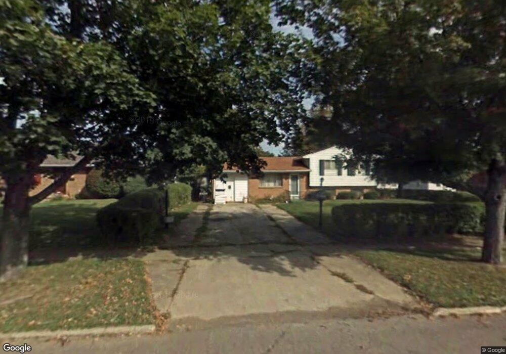
778 Burns St Mansfield, OH 44903
Estimated Value: $76,000 - $134,000
3
Beds
1
Bath
1,664
Sq Ft
$67/Sq Ft
Est. Value
About This Home
This home is located at 778 Burns St, Mansfield, OH 44903 and is currently estimated at $112,119, approximately $67 per square foot. 778 Burns St is a home located in Richland County with nearby schools including Foundation Academy, Mansfield Elective Academy, and Goal Digital Academy.
Ownership History
Date
Name
Owned For
Owner Type
Purchase Details
Closed on
May 8, 2018
Sold by
Nationwide Business Resources Inca Calif
Bought by
Vpjd Llc
Current Estimated Value
Purchase Details
Closed on
Feb 11, 2015
Sold by
Stone Ray
Bought by
Nationwide Business Resources Inc
Purchase Details
Closed on
Oct 10, 2001
Sold by
Jackson Sheila M
Bought by
Brooks Elaine G
Home Financials for this Owner
Home Financials are based on the most recent Mortgage that was taken out on this home.
Original Mortgage
$52,542
Interest Rate
6.99%
Mortgage Type
New Conventional
Purchase Details
Closed on
Aug 16, 1990
Create a Home Valuation Report for This Property
The Home Valuation Report is an in-depth analysis detailing your home's value as well as a comparison with similar homes in the area
Home Values in the Area
Average Home Value in this Area
Purchase History
| Date | Buyer | Sale Price | Title Company |
|---|---|---|---|
| Vpjd Llc | -- | None Available | |
| Nationwide Business Resources Inc | $22,000 | Southern Title | |
| Brooks Elaine G | $52,000 | -- | |
| -- | $39,900 | -- |
Source: Public Records
Mortgage History
| Date | Status | Borrower | Loan Amount |
|---|---|---|---|
| Previous Owner | Brooks Elaine G | $52,542 |
Source: Public Records
Tax History Compared to Growth
Tax History
| Year | Tax Paid | Tax Assessment Tax Assessment Total Assessment is a certain percentage of the fair market value that is determined by local assessors to be the total taxable value of land and additions on the property. | Land | Improvement |
|---|---|---|---|---|
| 2024 | $1,238 | $25,850 | $4,860 | $20,990 |
| 2023 | $1,238 | $25,850 | $4,860 | $20,990 |
| 2022 | $344 | $6,030 | $4,020 | $2,010 |
| 2021 | $347 | $6,030 | $4,020 | $2,010 |
| 2020 | $355 | $6,030 | $4,020 | $2,010 |
| 2019 | $393 | $6,030 | $4,020 | $2,010 |
| 2018 | $388 | $6,030 | $4,020 | $2,010 |
| 2017 | $378 | $6,030 | $4,020 | $2,010 |
| 2016 | $34 | $520 | $320 | $200 |
| 2015 | $32 | $520 | $320 | $200 |
| 2014 | $32 | $520 | $320 | $200 |
| 2012 | $1,050 | $23,150 | $4,020 | $19,130 |
Source: Public Records
Map
Nearby Homes
- 0 State Route 314 Unit 9069650
- 0 State Route 314 Unit 9067316
- 0 State Route 314 Unit 225021979
- 641 Averill Ave
- 741 Burger Ave
- 512 Burns St
- 269 Parkway Dr
- 0 Highway 30
- 480 Mcpherson St
- 450 Tracy St
- 340 Boston Ave
- 237 Helen Ave
- 426 Mcpherson St
- 170 Western Ave
- 0 W Fourth St - Trimble Lenox
- 874 Fairfax Ave
- 876 Fairfax Ave
- 1168 & 1171 Seminole Ave
- 1169 Seminole Ave
- 185 Rowland Ave