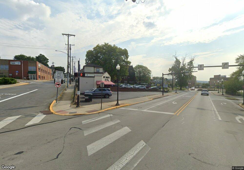
778 Catherine St Rochester, PA 15074
Rochester Township NeighborhoodEstimated Value: $152,000 - $209,177
3
Beds
1
Bath
1,344
Sq Ft
$129/Sq Ft
Est. Value
About This Home
This home is located at 778 Catherine St, Rochester, PA 15074 and is currently estimated at $173,294, approximately $128 per square foot. 778 Catherine St is a home located in Beaver County with nearby schools including Rochester Area El School, Rochester Area High School, and Saints Peter & Paul School.
Ownership History
Date
Name
Owned For
Owner Type
Purchase Details
Closed on
Jun 28, 2024
Sold by
Pickard Cynthia and Pickard John W
Bought by
Lavalle Natilee and Verrico Brian
Current Estimated Value
Home Financials for this Owner
Home Financials are based on the most recent Mortgage that was taken out on this home.
Original Mortgage
$161,029
Outstanding Balance
$159,087
Interest Rate
6.94%
Mortgage Type
FHA
Estimated Equity
$14,207
Purchase Details
Closed on
Aug 31, 2023
Sold by
Pickard Jeffrey O
Bought by
Pickard Cynthia and Pickard John W
Create a Home Valuation Report for This Property
The Home Valuation Report is an in-depth analysis detailing your home's value as well as a comparison with similar homes in the area
Home Values in the Area
Average Home Value in this Area
Purchase History
| Date | Buyer | Sale Price | Title Company |
|---|---|---|---|
| Lavalle Natilee | $164,000 | Heritage Security & Service | |
| Pickard Cynthia | -- | None Listed On Document |
Source: Public Records
Mortgage History
| Date | Status | Borrower | Loan Amount |
|---|---|---|---|
| Open | Lavalle Natilee | $161,029 |
Source: Public Records
Tax History Compared to Growth
Tax History
| Year | Tax Paid | Tax Assessment Tax Assessment Total Assessment is a certain percentage of the fair market value that is determined by local assessors to be the total taxable value of land and additions on the property. | Land | Improvement |
|---|---|---|---|---|
| 2025 | $546 | $74,350 | $19,450 | $54,900 |
| 2024 | $3,089 | $74,350 | $19,450 | $54,900 |
| 2023 | $3,199 | $24,750 | $4,300 | $20,450 |
| 2022 | $3,199 | $24,750 | $4,300 | $20,450 |
| 2021 | $3,199 | $24,750 | $4,300 | $20,450 |
| 2020 | $3,162 | $24,750 | $4,300 | $20,450 |
| 2019 | $3,162 | $24,750 | $4,300 | $20,450 |
| 2018 | $3,075 | $24,750 | $4,300 | $20,450 |
| 2017 | $3,075 | $24,750 | $4,300 | $20,450 |
| 2016 | $2,925 | $24,750 | $4,300 | $20,450 |
| 2015 | $549 | $24,750 | $4,300 | $20,450 |
| 2014 | $549 | $24,750 | $4,300 | $20,450 |
Source: Public Records
Map
Nearby Homes
- 185 Route 68
- 675 Meadow Ln
- 621 Whistler Dr
- 3706 50th St
- 3407 37th Ave
- 4702 40th Ave
- 0 Marion Hill Rd
- Lot 14 Shannon Cir
- Lot 46 Shannon Cir
- Lot 62 Londonderry Dr
- 16 Community Springs Ct
- 3216 45th St
- 540 Harmony Ave
- 513 Harmony Ave
- 0 Harmony Ave
- 450 Clay St
- 424 Pennsylvania Ave
- 1702 3rd Ave
- 477 Connecticut Ave
- 1319 Riverside Dr Unit 300
- 778 Katherine St
- 776 Catherine St
- 745 Beaver St
- 767 Katherine St
- 769 Catherine St
- 765 Catherine St
- 743 Beaver St
- 722 Hill St
- 774 Catherine St Unit AB
- 774 Catherine St Unit B
- 741 Beaver St
- 721 Hill St
- 771 Catherine St
- 747 Beaver St
- 772 Catherine St
- 720 Hill St
- 749 Beaver St
- 773 Catherine St
- 739 Beaver St
- 773 Ridge Rd
